Previsualizar a impressão Fechar
Mostrar 353 resultados
Archival description
Wounded Moose geochemistry paleosol data for Yukon Paleosol Study

Fort Selkirk volcanic field soil reconnaissance data

Early Pleistocene basalt cliffs on the north side of the Yukon River

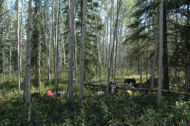
Wilderness trombone at Camp 1

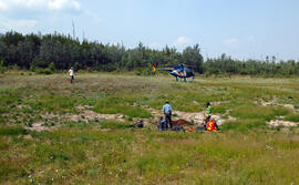
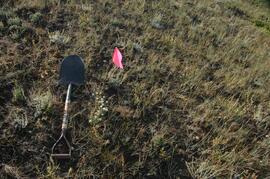
Camp 1, facing southwest

Mouth of Black Creek

Camp 2 at the mouth of Black Creek

Middle Pleistocene basalt cliffs west of Camp 2

Flight between Camp 2 and Camp 3

Flight between Camp 2 and Camp 3

Flight between Camp 2 and Camp 3

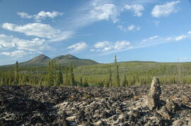
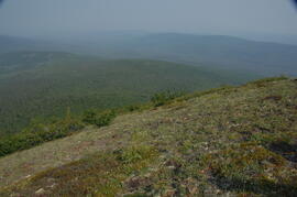
South flank of Volcano Mountain

South flank of Volcano Mountain

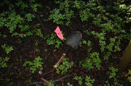
Near Camp 3
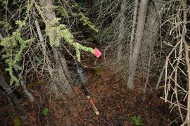
Wilderness trombone at Camp 3
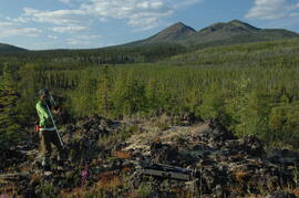
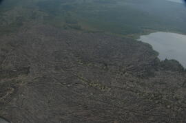
Holocene basalt flows near Camp 3
Holocene basalt flows near Camp 3
Holocene basalt flows near Camp 3
Holocene basalt flows south of Volcano Mountain
Summit of Volcano Mountain
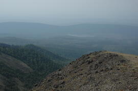
Summit of Volcano Mountain

North side of Volcano Mountain

North side of Volcano Mountain
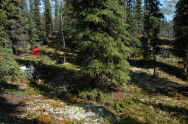
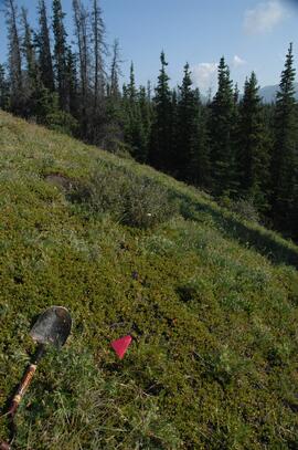
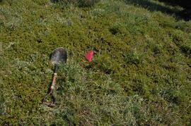
Site Y09-05 site view 1
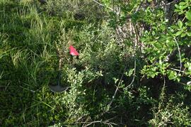
Site Y09-18
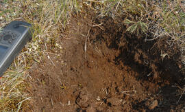
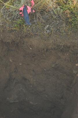
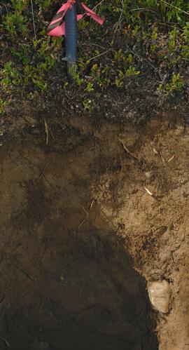
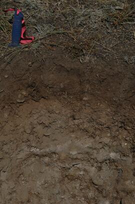
Site Y09-19 profile detail
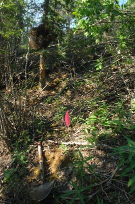
Site Y09-19

Site Y09-21 annotated profile
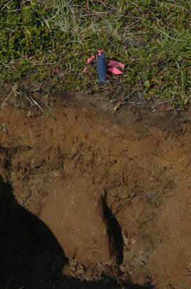
Site Y09-22 profile

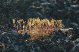
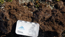
Site Y09-23 lapilli
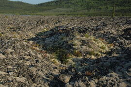
Site Y09-23
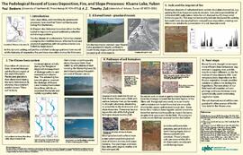
"The Pedological Record of Loess Deposition, Fire, and Slope Processes: Kluane Lake, Yukon"
Kluane Lake 2009 field work photographs
Kluane Lake 2009 field work photographs
Y09-24 G15 surface
Y09-24 G25 surface
Y09-24-01 profile
Y09-24-06 G5 profile
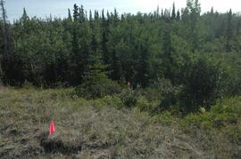
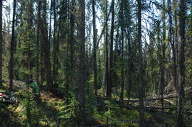
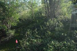
Y09-27 site view to forest
Y09-27-01 crest surface
Y09-27-05 G20 surface
Y09-27-06 G25 site view

Y09-27-07 F5 site view
Y09-27-08 profile
Y09-27-10 F20 site view
Y09-28-01 profile
Y09-28-03 G20 surface
Y09-28-05 G40 surface
Y09-28-06 G50 surface
Y09-28-07 F10 site view
Y09-28-07 F10 surface