File consists of a transcript of an oral history interview with Sandra Trolian.
File consists of a transcript of an oral history interview with John and Bernice Trick.
File consists of a transcript of an oral history interview with Erwin Stoll.
File consists of a transcript of an oral history interview with Horst Sander. Also includes photocopies of Horst Sander's personal records, such as a tree farm license.
File consists of a transcript of an oral history interview with Linda Mueller.
File consists of a transcript of an oral history interview with Mike Moore.
File consists of a transcript of an oral history interview with Coralee Madden.
File consists of a transcript of an oral history interview with Earl Lousier and Harry Gairns.
File consists of a transcript of an oral history interview with Raymond Lee.
File consists of a transcript of an oral history interview with Andre Laquerre.
File consists of a transcript of an oral history interview with Doug Homme. Also includes photocopies of Doug Homme's personal records, such as photographs.
File consists of a transcript of an oral history interview with Joyce and Brian Hards.
File consists of a transcript of an oral history interview with Arturo Garcia-Alonso.
File consists of a transcript of an oral history interview with Doug Frazier and Linda McFarlane.
File consists of a transcript of an oral history interview with Julie Fisher.
File consists of a transcript of an oral history interview with Heather (Scott) Empey.
File consists of a transcript of an oral history interview with Mr. and Mrs. Cox.
File consists of a transcript of an oral history interview with Cy Bechtel.
File consists of a transcript of an oral history interview with Ivan Andersen.
File consists of an audio recording of an interview with Coralee Madden. Includes three copies of the original recorded audio cassette; the original recording is not held by the archives.
File consists of an audio recording of an interview with Joyce and Brian Hards. Includes one original recorded audio cassette and one copy.
File consists of an audio recording of an interview with Arturo Garcia-Alonso. Includes two copies of the original recorded audio cassette; the original recording is not held by the archives.
File consists of an audio recording of an interview with Julie Fisher. Includes one original recorded audio cassette and one copy.
File consists of an audio recording of an interview with Cy Bechtel. Includes one original recorded audio cassette and two copies.
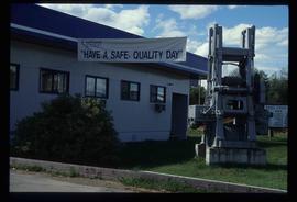
Image depicts the office at the Northwood Upper Fraser Saw Mill and a sign which reads "Have a safe, quality day." Map coordinates 54.117916, -121.943351
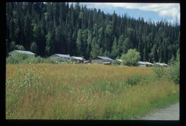
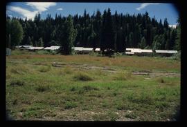
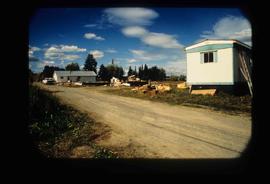
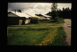
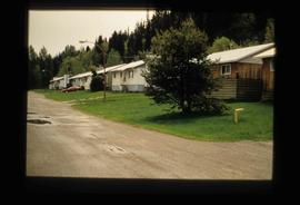
Image depicts a row of houses in Upper Fraser, B.C. Map coordinates 54°06'51.6"N 121°56'26.3"W
Image depicts a row of houses in Upper Fraser, B.C. Map coordinates 54°06'51.6"N 121°56'26.3"W
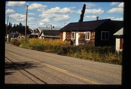
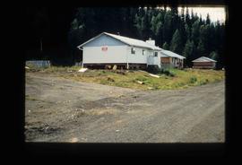
Image depicts a house in Upper Fraser with the residential area in the background. Map coordinates 54°07'02.8"N 121°56'37.5"W
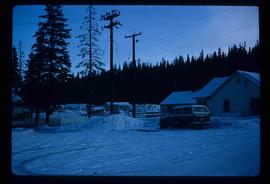
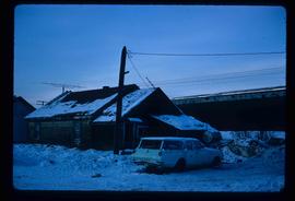
Image depicts a vehicle parked beside a small, wooden house in Upper Fraser, B.C. Map coordinates 54°07'05.7"N 121°56'38.9"W
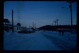
Image depicts several unidentified individuals walking along the snow-covered Upper Fraser Road with numerous buildings on either side. Map coordinates 54°07'05.7"N 121°56'38.9"W
Image depicts a row of buildings in Upper Fraser, B.C. with the store (titled "Paradise") with a Pepsi sign. Map coordinates 54°07'09.1"N 121°56'47.0"W
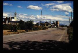
Image depicts the Upper Fraser Road running through Upper Fraser, B.C. A newer style round burner is seen in the background. Map coordinates 54°07'05.7"N 121°56'38.9"W
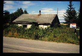
Image depicts an old house for sale surrounded by overgrown bushes in Upper Fraser, B.C. Map coordinates 54°07'15.0"N 121°57'02.0"W
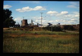
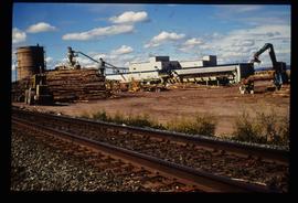
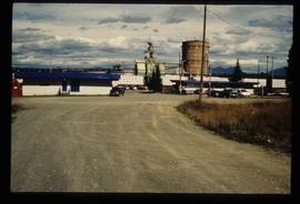
Image depicts numerous log decks at the Upper Fraser sawmill. Map coordinates 54°07'10.8"N 121°56'51.7"W
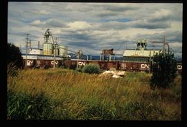
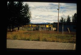
Image depicts the Upper Fraser mill yard with a CN train in Upper Fraser, B.C. Map coordinates 54°07'10.8"N 121°56'51.7"W
Image depicts the entrance to the Upper Fraser mill yard in Upper Fraser, B.C. Map coordinates 54°07'10.8"N 121°56'51.7"W
Image depicts the entrance to the Upper Fraser mill yard in Upper Fraser, B.C. Map coordinates 54°07'10.8"N 121°56'51.7"W
Image depicts the sewage treatment plant in Upper Fraser, B.C. after the closure of the town site. Map coordinates 54°06'51.6"N 121°56'10.2"W
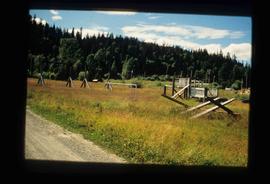
Image depicts Upper Fraser town site playground, after closure of town site. Map coordinates 54°07'01.4"N 121°56'29.9"W
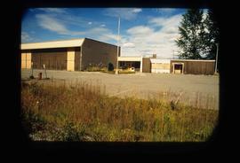
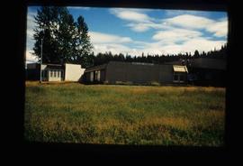
Image depicts Upper Fraser Elementary School, after closure of town site. Map coordinates 54°06'54.4"N 121°56'16.6"W
Image depicts Upper Fraser Elementary School, after closure of town site. Map coordinates 54°06'54.4"N 121°56'16.6"W
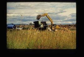
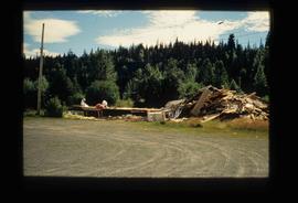
Image depicts numerous piles of logs, and two unidentified individuals operating an excavator with a "thumb" attachment during the demolition of the Upper Fraser town site. Map coordinates 54°06'51.6"N 121°56'26.3"W
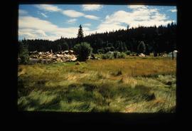
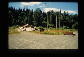
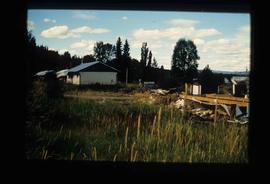
Image depicts Upper Fraser residential area during demolition of town site. Map coordinates 54°06'51.6"N 121°56'26.3"W
Image depicts Upper Fraser residential area during demolition of town site. Map coordinates 54°06'51.6"N 121°56'26.3"W
Image depicts Upper Fraser residential area during demolition of town site. Map coordinates 54°06'51.6"N 121°56'26.3"W
Image depicts Upper Fraser residential area during demolition of town site. Map coordinates 54°06'51.6"N 121°56'26.3"W
Image depicts houses in the Upper Fraser residential area during demolition of town site. Map coordinates 54°06'51.6"N 121°56'26.3"W
Image depicts a house being removed from Upper Fraser, B.C. during demolition of town site. A sign on the house reads: "Murray Blackwell House Raising & Moving." Map coordinates 54°06'51.6"N 121°56'26.3"W
Image depicts a row of houses in Upper Fraser, B.C. Map coordinates 54°06'51.6"N 121°56'26.3"W
Image depicts a row of houses in Upper Fraser, B.C. Map coordinates 54°06'51.6"N 121°56'26.3"W
