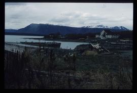
Image depicts a dock on the shore of Atlin Lake, as well as a building that may have once been a hospital. The slide is simply labelled "hospital."
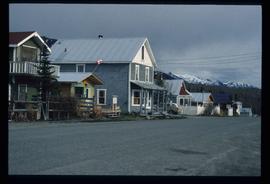
Image depicts a back street in Atlin, B.C.
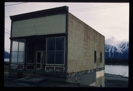
Image depicts an old building undergoing a restoration process, possibly in Atlin, B.C.
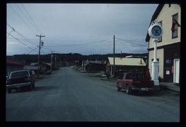
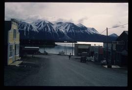
Image depicts numerous old buildings on a main street in Atlin, B.C.
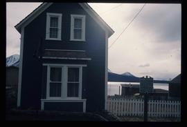
Image depicts a building which once served as the residence for two nurses in Atlin, B.C. A sign in front of the house reads: "Grateful Atlinites built this house in 1902 for their first missionary nurses, Helen Bone and Elizabeth Mitchell, who came here in 1899 and lived in a crude shack while valiantly and humanely caring for sick and dying pioneers."
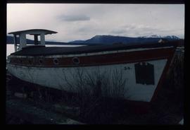
Image depicts an old boat on the shore of Atlin Lake.
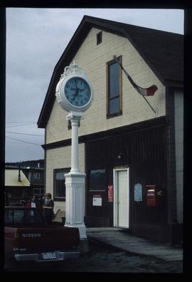
Image depicts the post office in Atlin, B.C.
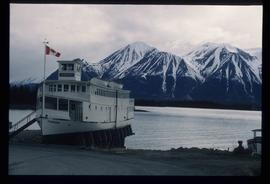
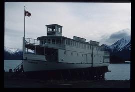
Image depicts a boat named "the Tarahne," which is located in Atlin, B.C. Atlin Lake and Mountain are visible in the background.
Image depicts a boat named "the Tarahne," which is located in Atlin, B.C. Atlin Lake and Mountain are visible in the background.
Image depicts what is possibly Atlin Lake, with numerous mountains in the distance and Atlin Mountain visible on the right of the image.
Image depicts Atlin Lake as well as a small section of Atlin, B.C. The mountain is possibly Atlin Mountain.
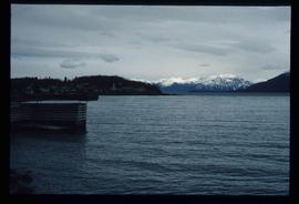
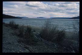
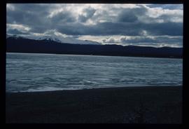
Image depicts Atlin Lake.
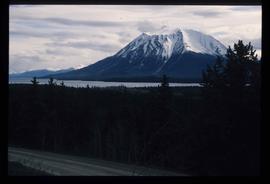
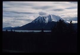
Image depicts a mountain, possibly Atlin Mountain.
Image depicts a mountain, possibly Atlin Mountain.
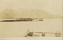
Photograph of a vessel in a large body of water with several mountains visible in the background. Printed annotation on recto reads: "Atlin Mt., Atlin, B.C."
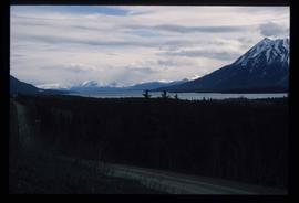
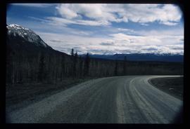
Image depicts what is possibly Atlin Road. Numerous mountains are visible in the distance.
Image depicts a mountain somewhere along what is possibly the Atlin Road.
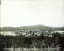
Photograph depicts the Atlin townsite, forest in foreground, hills in background. Town stands on edge of lake located in left midground. Handwritten annotation on verso of photograph: "Atlin City B.C., Sept. 3rd 1899. Copyrighted by S.A. Smythe Atlin, B.C."
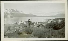
Photograph depicts town site in foreground, lake and mountains in background. Handwritten annotation on recto of photograph: "Atlin: Atlin, Atlin Lk, & Atlin Mts. looking N.west from Glassey's (Govt. Agent) window."
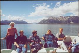
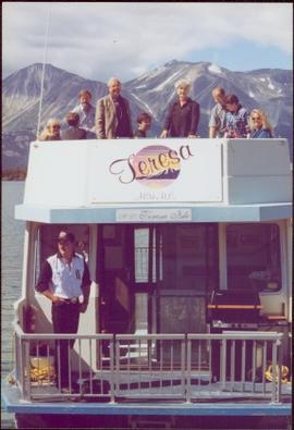
Left to right: Chancellor Iona Campagnolo, Nick Petraryszak, Ellen Facey, unidentified woman and men. Mountains visible in background. Photograph taken during the Chancellor's 1996 regional tour through Atlin and Whitehorse; see also items 2009.6.1.578 - 2009.6.1.581.
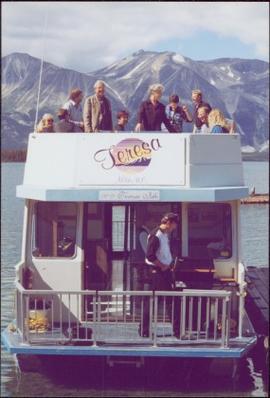
Left to right: Deborah Poff, Dennis Macknak, Charles Jago, an unidentified woman, Iona Campagnolo, an unidentified man, Ellen Facey, and an unidentified woman. Unknown man stands on lower deck in foreground. Mountains visible in background. Photograph taken during the Chancellor's 1996 regional tour through Atlin and Whitehorse; see also items 2009.6.1.578 - 2009.6.1.581.
Handwritten annotation on verso reads: "#3 Chancellor's Tour".
Left to right: Deborah Poff, Dennis Macknak, Charles Jago, an unidentified woman, Iona Campagnolo, Ellen Facey, Nick Petraryszak, an unidentified man, and an unidentified woman. Unknown man stands on lower deck in foreground. Mountains visible in background. Photograph taken during the Chancellor's 1996 regional tour through Atlin and Whitehorse; see also items 2009.6.1.578 - 2009.6.1.580.
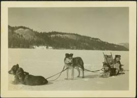
Photograph depicts a team of dogs and sled resting in a very flat snow-covered area. Hills in background. Handwritten annotation on recto of photograph: "ATLIN."
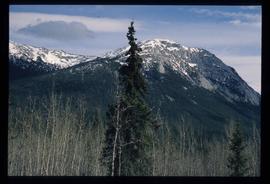
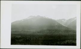
Photograph depicts mountain range in distance, forest in foreground. Area speculated to be near Atlin, B.C.
Photographs within this file document natural and artificial features across the landscape of Northern British Columbia. This landscape also includes the physical, built, urban and industrial landscapes; topography; site plans; boundaries, districts, reserves, parks, sanctuaries, towns, villages and cities, etc.
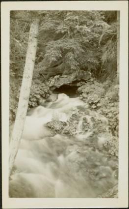
Photograph depicts water flowing from ground in forest. Handwritten annotation on recto of photograph: "Atlin, The Grotto, Outlet of a subterranean stream (in limestone) on way to O'Donnell River."
Photocopied map depicts mineral and coal mining properties in north western British Columbia.
Image depicts a lake somewhere along what is possibly the Atlin Road to Atlin, B.C.
Image depicts a lake somewhere along what is possibly the Atlin Road to Atlin, B.C.
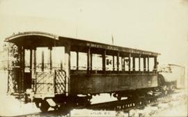
Photograph of man on the back of a passenger car attached to a steam engine. Printed annotation on recto is obscured by emulsion damage and reads: "[illegible] Atlin, B.C."
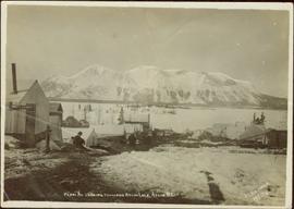
Photograph depicts tent buildings on either side of dirt road. Unidentified men are visible on left, Atlin Lake and mountains can be seen in background.
Hand inscribed annotation on recto of photograph reads: “Pearl Av. looking towards Atlin Lake, Atlin, B.C., A.C. Hirschfeld, No. 174”
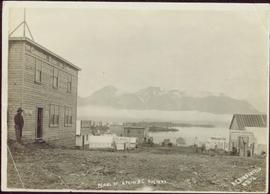
Photograph depicts buildings and signage on either side of dirt road. Unidentified man stands on far left, Atlin Lake and mountains can be seen in background.
Hand inscribed annotation on recto of photograph reads: “Pearl St., Atlin, B.C. Aug. 1899. A.C. Hirschfeld, No.74”.
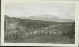
Photograph depicts Pine Creek winding through forest and hills. Altin Lake and mountains in background. Handwritten annotation on recto of photograph: "Atlin: Looking down lower Pine Ck, westerly towards Atlin, Atlin Lk, & the Atlin Mts. (part of Coast Range)."
File contains postcard photographs portraying life in various Northern BC Communities. Images depict buildings and streets, church structures, harbours and docks, and views of the shore from the water to name a few.
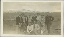
Group of eleven men and women stands and kneels in front of fence, field and hills in background. Sarah stands fourth from left, Bert stands on far right. Handwritten annotation on recto of photograph: "Murphy's place ATLIN." Similar group also featured in items 2009.5.2.274 - 2009.5.2.294.
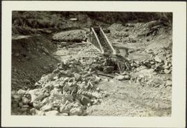
Photograph depicts a large structure in center of mining area in riverbed, equipment and supplies scattered throughout. Buildings and forest in background. Handwritten annotation on verso of photograph: "Spruce Creek, Lower Shovel Workings 6/25/39.", on recto: "Atlin".
File contains slides depicting places around and between Skagway, on the Alaska border, Atlin and Miles Canyon.
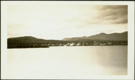
Photograph depicts town in distance, believed to be Atlin, B.C. Lake in foreground, hills in background. See also items 2009.5.2.63 & 2009.5.2.64.
