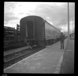
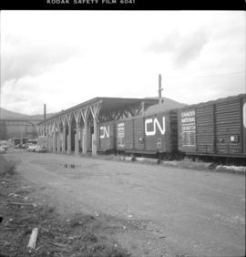
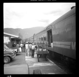
Imprimir vista previa Cerrar

Mostrando 96 resultados

Archival description
90 resultados con objetos digitales Muestra los resultados con objetos digitales
CNR Kallum
2013.6.36.1.053.16 · Item · Sept. 1982
Parte de David Davies Railway Collection

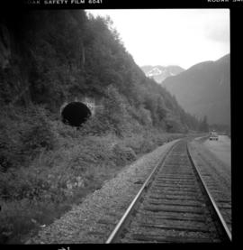
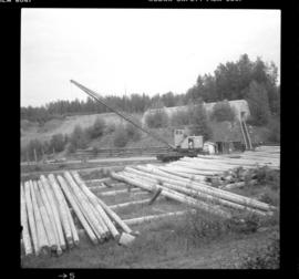
Photograph depicts a private crane in a private pole yard adjacent to mile 3.5 on the Skeena Subdivision, on the western outskirt of Terrace.

CNR Skeena Subdivision
2013.6.36.1.040.11 · Item · [7 July 1980]
Parte de David Davies Railway Collection

Photograph taken about halfway between Terrace and Prince Rupert. The Skeena Subdivision (from Terrace) was about 400 yards long and was used for avalanche protection. It was abandoned in the 1950's as it was deemed too expensive to maintain.

British Columbia Freight Routes
2009.6.13.45.20 · Item · [between 1974 - 1979]
Parte de The Honourable Iona Campagnolo fonds

Map depicts annotations of the freight-way routes throughout British Columbia. These routes include: the Garnet Enterprise Truck Haul from Vancouver to Terrace, the Canadian Freightways from Vancouver to Edmonton to Alaska; the Lindsay Transfer from Terrace to Dease Lake and Telegraph Creek; and the Northland Navigation roll-on and roll-off service.

2009.6.13.49.0254 · Item · [between 1974 and 1979]
Parte de The Honourable Iona Campagnolo fonds

Photograph depicts a copy of a June 1915 photograph that shows five men in front of the Terrace Land Company building. From left to right, these people include: J.K. Gordan of Terrace, John Oliver (future BC Premier), H.C. Brewster (future BC Premier), L.H. Kenney of Terrace, and T.D. Pattullo.

Terrace, British Columbia
2009.6.13.45.23 · Item · [between 1974 and 1979]
Parte de The Honourable Iona Campagnolo fonds

Map depicts the topography around the township of Terrace, British Columbia. The Skeena River is noted, as well as the Coast Mountains and the Kitimat Ranges.