File contains slides depicting places in Kitimat, B.C.
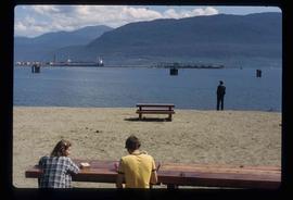
Image depicts two individuals seated at a picnic table while a third stands closer to the water on a beach somewhere in Kitimat, B.C. What appears to be a harbour can be seen on the water.
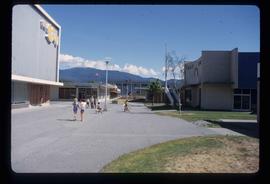
Image depicts numerous individuals passing in front of the Bay in Kitimat, B.C.
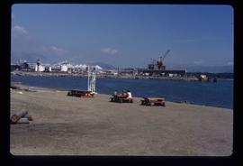
Image depicts three picnic tables, one of which is occupied with three unknown individuals, on a beach somewhere in Kitimat, B.C.
Image depicts the Alcan smelter in Kitimat, B.C.
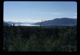
Image depicts a view of the forest and lake around Kitimat, B.C.
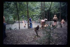
Image depicts a large group of people enjoying the Mount Layton Hot springs in the Lakelse Lake Provincial Park north of Kitimat, B.C.
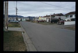
Image depicts a row of houses somewhere in Kitimat, B.C.
Image depicts a harbour in Kitimat, B.C.
Image depicts what is possibly the Alcan smelter in Kitimat, B.C.
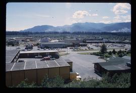
Image depicts numerous businesses, such as the Bay, Overwaitea, and Dairy Queen, somewhere in Kitimat, B.C.
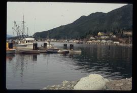
Image depicts numerous docked boats, as well as many houses on the shore in the background; located in Kitimat, B.C.
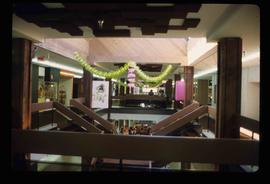
Image depicts the interior of a mall somewhere in Kitimat, B.C.
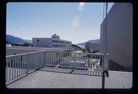
Image depicts several buildings in Kitimat, with the Bay being the tall one on the left.
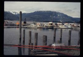
Image depicts numerous docked boats in Kitimat, B.C.
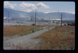
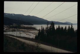
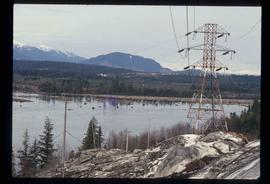
Image depicts a view of the area surrounding Kitimat, with power-lines in the foreground the city partially visible in the distance.
Image depicts two men in the cabin of a boat somewhere near Kitimat, B.C.
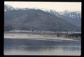
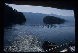
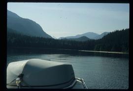
Image depicts what is possibly either the Hecate Strait or Minette Bay from somewhere near Kitimat, B.C.
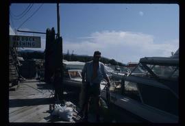
Image depicts a man holding two fish on a dock in Kitimat, B.C.
Image depicts what is possibly either the Hecate Strait or the Minette Bay from somewhere near Kitimat, B.C.
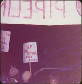
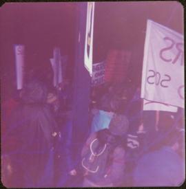
Sign in foreground reads: “Stop Bull Shitting, [Phoney (crossed out)] Ioney”.
Handwritten annotation on verso reads: “The Kitimat Oil Port Environmental Lobby, didn’t believe I killed it. I did!”
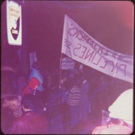
Semi-visible sign reads: “Supertanks - Pipelines S.O.S.”
Photograph depicts crowd with individuals holding protest signs.
Crowd sits on bleachers in background.
Handwritten annotation on verso reads: “Wally Lefebre Hovercraft at Kitimat”.
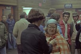
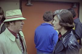
The pair stands in unidentified room, crowd in background.
Handwritten annotation on verso reads: “Vince Gaspar--25 yrs., Kitimat”.
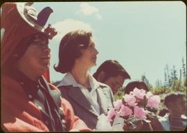
Photograph was taken during a tour of the Skeena riding in the summer of 1978.
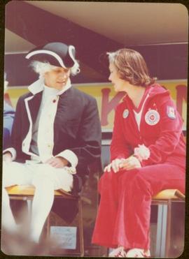
Handwritten annotation on verso reads: “July 78, Kitimat, Min of Fitness + M.P.”
Photograph was taken during a tour of the Skeena riding in the summer of 1978.
Handwritten annotation on verso reads: “Capt. Vancouver”.
Photograph was taken during a tour of the Skeena riding in the summer of 1978.
Handwritten annotation on verso reads: “1st of July, Kitimat, Chow Mein eating cookoff”.
Photograph was taken during a tour of the Skeena riding in the summer of 1978. Building and unidentified RCMP officer visible in background.
Photograph was taken during a tour of the Skeena riding in the summer of 1978. Unidentified individuals can be seen in background.
Handwritten annotation on verso reads: “Kitimaat”.
Handwritten annotation on verso reads: “Minister of Fitness, Kitimat Fitness Trust [?]”
Handwritten annotation on verso reads: “Spt Min".
Publication contains an abridged version of the publication entitled "Termpol Assessment of the Navigational and Environmental Risks Associated with the Proposal of Kitimat Pipe Line Ltd. to Construct a Marine Oil Terminal at Kitimat, B.C." published by Transport Canada Coast Guard.
Publication contains an "Interim Submission of Kitimat Oil Coalition to West Coast Oil Ports Inquiry" published in Vancouver, BC.
Map depicts the regional district of Kitmat, but is extensively annotated showing the proposed route of the Kitmat Truck Ferry, running through Terrace and up into the "Yukon Markets," and the Kispiox Connector, running from Prince Rupert to Hazelton and further East along Highway 16 and north along the Kispiox River.
Map depicts annotations marking the major freight-ways: Garnet Ent. Truck Haul from Vancouver to Terrace, Canada Freightways Lyndon Trucking from Vancouver-Edmonton-Alaska Highway, Lindsays Transfer from Terrace to Dease Lake and Telegraph Creek, and the Northland Navigation roll-on and roll-off service. The cities and towns of Vancouver, Prince George, Dawson Creek, Terrace, Kitimat and Whitehorse are noted.
Map depicts annotations of the freight-way routes throughout British Columbia. These routes include: the Garnet Enterprise Truck Haul from Vancouver to Terrace, the Canadian Freightways from Vancouver to Edmonton to Alaska; the Lindsay Transfer from Terrace to Dease Lake and Telegraph Creek; and the Northland Navigation roll-on and roll-off service.
Satellite map of the district of Kitimat for the purpose of developing an industrial corridor.
Proposed master plan for the inner areas of Kitimat Port. Drawing includes proposed terminal area, industrial terminal, future forest products terminal, bulk terminal, and the industrial corridor.
Plans for Kinsman childcare centre in Kitimat shows the floor plan of the proposed building.
This newspaper is the issue of the Kitimat Northern Sentinel for the 25th anniversary of Kitimat. In celebration of the anniversary, the first page is a reprint of the original first page of the Kitimat Northern Sentinel Vol. 1 No. 1. Other topics covered in this anniversary issue include: the history of Kitimat, a historical sketch of the Alcan Project, Kenney Dam, the 16 km tunnel, the Kemano powerhouse, the transmission line, the smelter and the townsite.
Photograph depicts Iona Campagnolo pinning a rose to the lapel of an unidentified woman in Kitimat hockey arena.
Photograph depicts Iona Campagnolo holding a hockey puck for the face off between two local teams in a game at the Kitimat arena.
Iona Campagnolo speaking to a man at a local hockey event in the Kitimat arena.
Photograph depicts Iona Campagnolo speaking into microphone on Kitimat ice rink with hockey referee and man nearby.
Iona Campagnolo speaking to a man at a local hockey event in the Kitimat arena.
Photograph depicts Iona Campagnolo speaking into microphone on Kitimat ice rink with hockey referee nearby.
Photograph depicts Iona Campagnolo dropping a hockey puck for the face off between a member of the Kitimat Black Hawks and another local team (the "Reds") in a game at the Kitimat arena.
Photograph depicts Iona Campagnolo talking to Wally Lefebre and man in Scottish dress in front of hockey game in Kitimat arena.
Photograph depicts a member of the Kitimat Black Hawks and a member of another local team (the "Reds") supporting Iona Campagnolo on the ice at the Kitimat arena.
