2000.13.1.185
·
Item
·
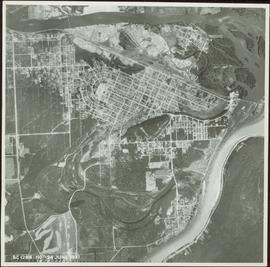
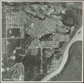
1955.
Part of Ray Williston fonds
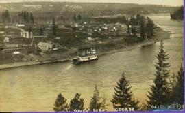
Item is a photograph of Prince George taken from the air.