File consists of notes, clippings, and reproductions relating to the British Columbia Express Company. Barnard's Express, later known as the British Columbia Express Company or BX, was a pioneer transportation company that served the Cariboo and Fraser-Fort George regions in British Columbia, Canada from 1861 until 1921.
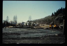
File consists of notes, clippings, and reproductions relating to ferry boat service in and around Prince George. Includes material regarding the Fraser River Fort George ferry; the Isle Pierre ferry; and the Miworth ferry. File also includes photographs depicting a building at Isle Pierre in the 1970s and the ferry crossing at Isle Pierre in 2005.
File consists of notes and reproductions relating to the Canadian Northern Railway. File contains material regarding the CNR railway station at Boston Bar; the community and railway stop at Basque; development of the CNR; and the CNR in Lucerne, British Columbia.
File consists of notes and reproductions relating to the Grand Trunk Pacific Railway. File contains material regarding mileages, railway stations, and lists of the GTP railway line stations.
File consists of notes, clippings, and reproductions relating to Grand Trunk Pacific Railway stations. Includes 2001 and 2009 photographs depicting various Grand Trunk Pacific stations and areas along the railway.
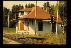
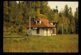
File consists of notes and reproductions relating to the Penny station. Also includes photographs depicting the Penny train station (1980?).
File consists notes and reproductions relating to the Dunster station and Mcbride station. Includes: "Re: Dunster Station - Grants, etc". typescript letter from Derek Trimmer, Heritage Advisory Committee, to Karen Craigue, Dunster Community Association (21 Apr. 1988) and "Proposal for the Acquisition, Restoration and use of the Dunster C.N.R. Station" typescript document prepared by Heritage Committee of Dunster Community Association (Feb. 1986). Also includes a photograph depicting the Dunster station (1980?).
File consists of notes and reproductions relating to townsites along the Grand Trunk Pacific Railway. Includes material regarding townsite planning for McBride, Willow River, Prince George, Terrace, Prince Rupert, and South Hazelton.
File consists of notes and reproductions relating to the Grand Trunk Pacific Railway in Prince Rupert. Also includes a map depicting the Prince Rupert townsite (before 1980).
File consists of clippings relating to the Canadian National lease of the BC Rail line. Includes material on economic benefits of the lease for CN and for the provincial government. Also includes material regarding perceptions of the sale by British Columbia MLA's and the public.
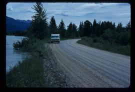
Image depicts a vehicle on a gravel road somewhere near Tête Jaune Cache, B.C.
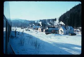
Image depicts a row of houses and the side of a train in Crescent Spur, B.C.
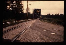
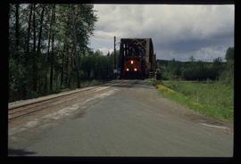
Image depicts the Hansard railroad bridge looking west. Map coordinates 54°04'37.9"N 121°50'46.3"W
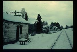
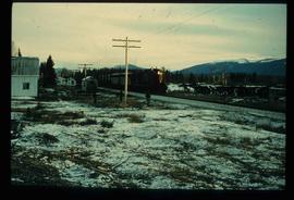
Image depicts railway tracks on the right side of the image, and several old houses alongside it. The location is uncertain.
Image depicts a train and several unidentified individuals who appear to be waiting for it as it passes through Sinclair Mills, BC.
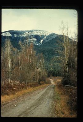
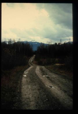
Image depicts a dirt road leading through numerous trees toward a mountain. The location is uncertain, likely on the way to Longworth, B.C.
Image depicts a dirt road leading through numerous trees toward a mountain. The location is uncertain, likely on the way to Longworth, B.C.
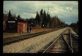
Image depicts two unidentified individuals standing next to the train station, and two railway tracks running through Longworth, B.C.
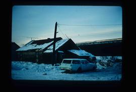
Image depicts and old house and vehicle in Upper Fraser, B.C. Map coordinates 54°07'05.7"N 121°56'38.9"W
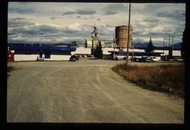
Image depicts the entrance to the Upper Fraser mill yard in Upper Fraser, B.C. Map coordinates 54°07'10.8"N 121°56'51.7"W
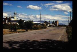
Image depicts the Upper Fraser Road running through Upper Fraser, B.C. A newer style round burner is seen in the background. Map coordinates 54°07'05.7"N 121°56'38.9"W
Image depicts the Giscome B.C. townsite from across the railroad tracks looking southeast. Map coordinates 54°04'19.7"N 122°22'04.7"W
Image depicts employee houses on mill site in Giscome, B.C. Tug boats are in the foreground on the right. Map coordinates 54°04'23.4"N 122°22'16.9"W
Image depicts the CN Station in Penny B.C. A woman, possibly Sue Sedgwick, is sitting against the outside wall.
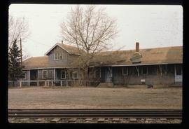
Image depicts the CN Station in Penny B.C.
Image depicts a train on the Hansard Bridge across the Fraser River looking west. Map coordinates 54°04'37.7"N 121°50'39.9"W
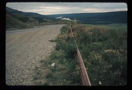
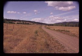
Image depicts a road with a guardrail and open fields somewhere near Dawson Creek, B.C.
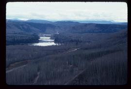
Image depicts a dam on what is possibly the Peace River.
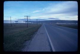
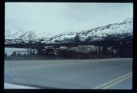
Image depicts a stretch of highway, possibly Highway 29 or 97.
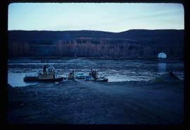
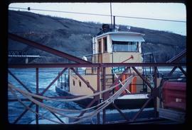
Image depicts the Clayhurst Ferry on the Peace River.
Image depicts the Clayhurst Ferry on the Peace River.
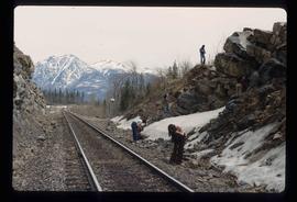
Image depicts a group of individuals who appear to be searching through the rocks near a railway track. It is possibly part of an educational trip.
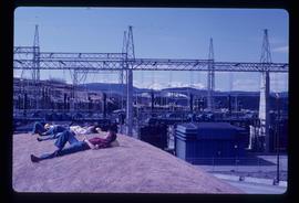
Image depicts several unidentified individuals lying on a hill outside what is most likely the W.A.C. Bennett Dam in Hudson's Hope, B.C.
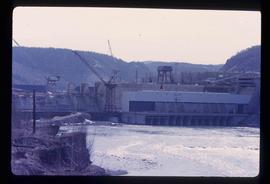
Image depicts the Peace Canyon Dam and generating station under construction on the Peace River.
Image depicts a set of railway tracks, and a building with a sign which reads: "Telegraphs." The location is uncertain, but possibly in the Peace River Region.
Image depicts the small town of Fraser, B.C. Located on the Klondike Highway.
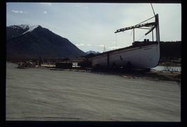
Image depicts half of a ship, which is named the Tutshi, in Carcross, Y.T.
File consists of a special edition of the Prince George Citizen newspaper titled "70 years of Rail!" (27 Jan. 1984).
File consists of a "BC Rail" special edition of the Prince George Citizen newspaper celebrating 75 years of railway (21 May 1987).
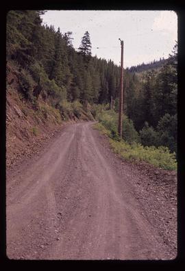
Image depicts the road to Pavilion Mountain.
Image depicts the road to Pavilion Mountain.
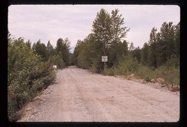
Image depicts the start of Joffre Creek Road, most likely somewhere in the Joffre Lakes Provincial Park.
Image depicts a road leading into a First Nations' Reserve at the head of Harrison Lake.
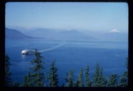
Image depicts a ferry entering Horseshoe Bay in the Howe Sound region.
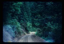
Image depicts a dirt road leading through a forest with what appears to be an area for turning around at the end.
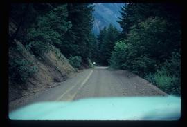
Image depicts a car on a dirt road leading through a forest.
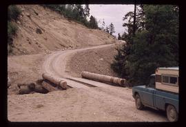
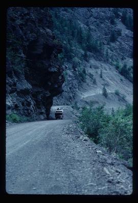
Image depicts a camper passing under an overhang as it drives along a narrow road near a cliff; located somewhere near Bralorne, B.C.
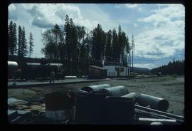
Image depicts a building, possibly an office building, next to a set of rail road tracks in Leo Creek, B.C. An unknown individual is present, and a number of barrels and culverts are visible in the foreground.
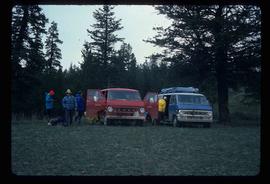
Image depicts the hiking group packing their gear into two vans.
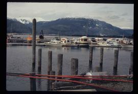
Image depicts numerous docked boats in Kitimat, B.C.
