2019.11.01
·
Item
·
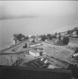
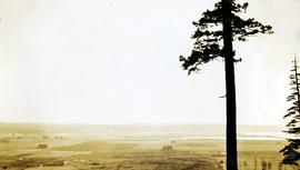
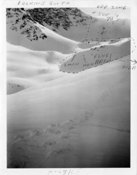
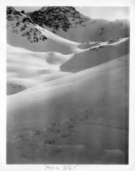
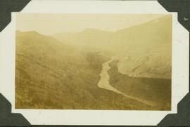
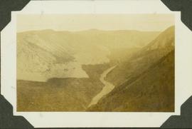
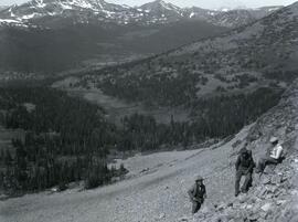
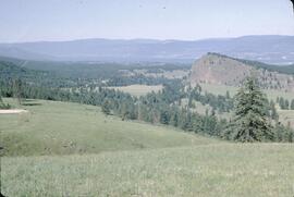
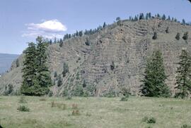
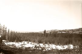
1945
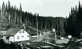
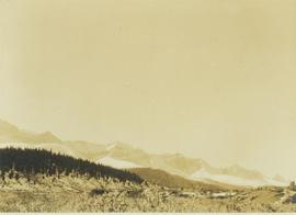
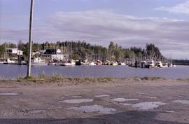
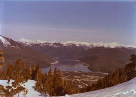
Part of World War II Polar Bear Training Exercise Photograph Collection
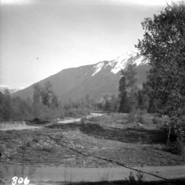
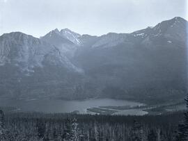
Photograph depicts a mountainous area between Bella Coola and Anahim Lake.