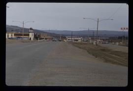
Image depicts several businesses in a small section of Chetwynd, B.C. There is a motor hotel and a half-visible sign for an Esso gas station.
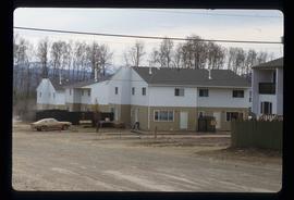
Image depicts a number of townhouses in Chetwynd, B.C.
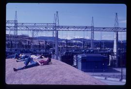
Image depicts several unidentified individuals lying on a hill outside what is most likely the W.A.C. Bennett Dam in Hudson's Hope, B.C.
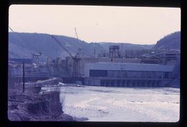
Image depicts the Peace Canyon Dam and generating station under construction on the Peace River.
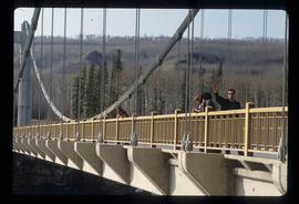
Image depicts several unidentified individuals standing on a bridge; it possibly crosses the peace River.
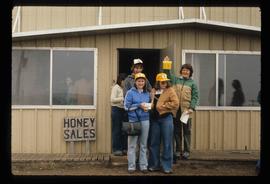
Image depicts several unidentified individuals standing in front of a store selling honey.
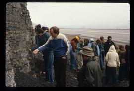
Image depicts a large group of people examining the sediment layers in a rock face.
File contains slides depicting the Peyto Glacier.
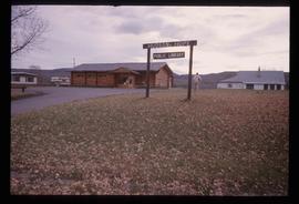
Image depicts the log building that acts as the public library in Hudson's Hope, B.C.
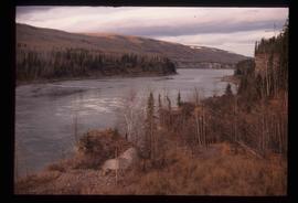
Image depicts the Peace River.
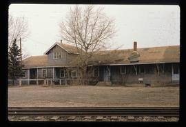
Image depicts a set of railway tracks, and a building with a sign which reads: "Telegraphs." The location is uncertain, but possibly in the Peace River Region.
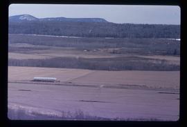
Image depicts a view of some farm land in Chetwynd, B.C.
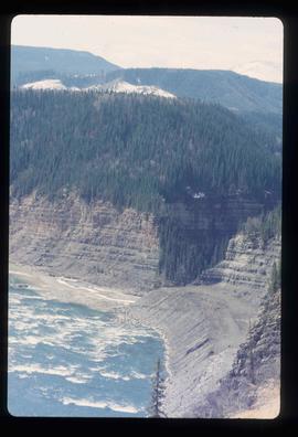
Image depicts the Peace River and visible layers of sediment deposits in the surrounding cliffs.
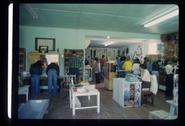
Image depicts the interior of a store, possibly in Fort St. John, B.C.
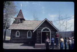
Image depicts several unidentified individuals exiting a church made of logs, possibly in Fort St. John, B.C.
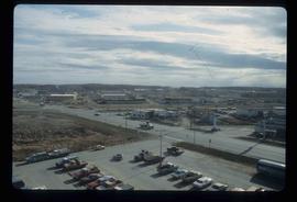
Image depicts a view of Fort St. John, B.C.
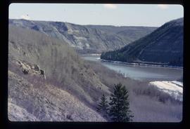
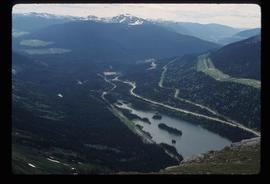
Image depicts the Peace River, possibly somewhere near Fort St. John, B.C.
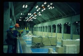
Image depicts two unidentified individuals in hard hats leaning against the railing of a large, open space inside an unknown concrete structure. It is possibly located in Fort St. John, B.C.
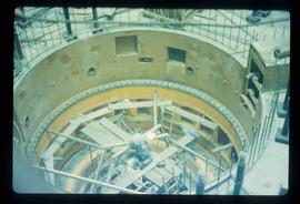
Image depicts two individuals at work inside what appears to be a piece of machinery. It is possibly located somewhere in Fort St. John, B.C.
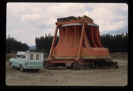
Image depicts an orange turbine in Fort St. John, B.C.
Image depicts a view of Pine Pass on the border between Alberta and British Columbia in the Rocky Mountains.
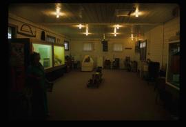
Image depicts the interior of the Station Museum in Dawson Creek, B.C.
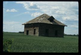
Image depicts an old abandoned cabin at an uncertain location.
File contains slides depicting places in Saskatchewan.
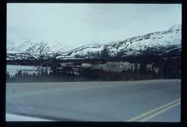
Image depicts the small town of Fraser, B.C. Located on the Klondike Highway.
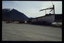
Image depicts half of a ship, which is named the Tutshi, in Carcross, Y.T.
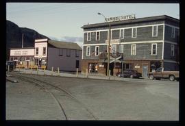
Image depicts the Caribou Hotel and the Matthew Watson General Store in Carcross, Y.T.
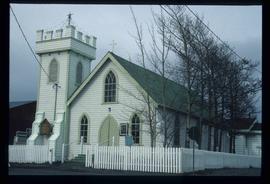
Image depicts the travel infocentre at the Atlin Museum. The slide labels it as having once been a school.
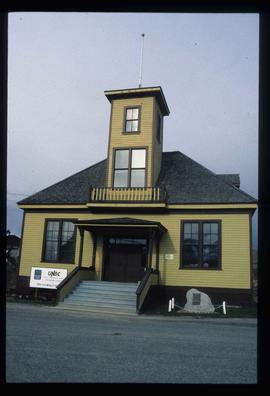
Image depicts the UNBC partnership campus in Atlin, B.C. The slide also labels it as being a former courthouse.
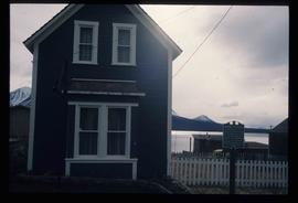
Image depicts a building which once served as the residence for two nurses in Atlin, B.C. A sign in front of the house reads: "Grateful Atlinites built this house in 1902 for their first missionary nurses, Helen Bone and Elizabeth Mitchell, who came here in 1899 and lived in a crude shack while valiantly and humanely caring for sick and dying pioneers."
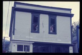
Image depicts a pair of mannequins in the second story windows of a building, possibly located in Skagway, Alaska.
This item is a photograph of a yellow parkade in downtown Prince George.
This item is a 35 mm photograph negative of the Nechako River, Prince George. Water level is very low.
The item is a photograph of a wood and white brick house in Prince George. The address is 2755 on an unknown street.
The item is a photograph of a wood and white brick house in Prince George. The address is 2755 on an unknown street.
The item is a 35 mm photograph negative of an aged white and blue trimmed house in Prince George. Address is unknown.
The item is a photograph of the Prince George Citizen office building at 229 Brunswick Street, Prince George.
The item is a photograph of Quinson Elementary School at 251 Ogilvie Street South, Prince George.
The item is a photograph of Quinson Elementary School at 251 Ogilvie Street South, Prince George.
The item is an interior photograph of a concrete stairwell with red and wooden railings. Picture is likely the interior of the University of Northern British Columbia.
Subseries consists of material collected and created by Kent Sedgwick for research regarding various areas within Prince George. These files include material on neighbourhoods and notable areas within the city, as well as the Regional District of Fraser-Fort George. Notable areas include the Fort George Canyon, downtown Prince George, and Cottonwood Island. The files primarily contain notes and newspaper clippings relating to the development and history of these areas.
File consists of letters relating to the Regional District of Fraser-Fort George geographical authority and heritage inventory. Includes: "Valemount Train Station" typed letter from Russell J. Irvine, the director of the Regional District of Fraser-Fort George, to Kent Sedgwick regarding the Valemount train station and ranch buildings at Mount Robson and applications for heritage trust (27 July 1982); "Heritage in Mackenzie" typed letter from the District of Mackenzie to Mr. Trimmer, the secretary of the Heritage Advisory Committee regarding heritage sites in Mackenzie (17 Apr. 1979); "Regional District" typescript document that is a list of heritage sites in the Regional District of Fraser-Fort George area; and "Fraser-Fort George Regional District" pamphlet depicting a map of the regional districts geographic area and list of authority districts.
The item is a photograph depicting the Fraser River running through Fort George Canyon.
The item is a photograph depicting the Fraser River running through Fort George Canyon. Annotation on revers side of the photograph states, "6."
The item is a photograph depicting a dog on the beach along the Fraser River in Fort George Canyon.
The item is a photograph depicting the Fraser River running through the Fort George Canyon.
The item is a photograph depicting the Fraser River running through the Fort George Canyon.
The item is a photograph depicting the Fraser River running through the Fort George Canyon.
The item is a photograph depicting the Fraser River running through the Fort George Canyon.
The item is a photograph depicting the Fraser River running through the Fort George Canyon.
