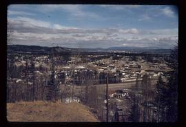
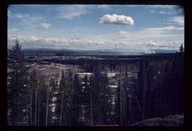
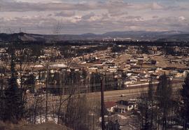
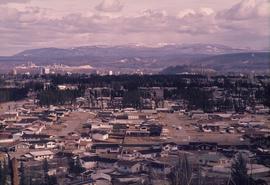
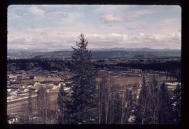
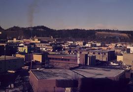
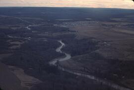
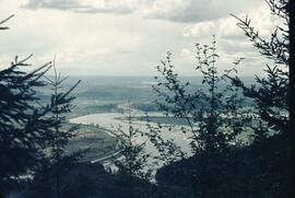
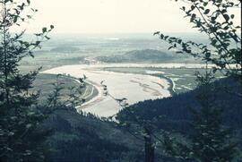
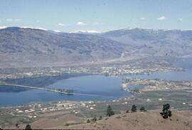
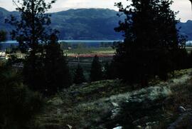
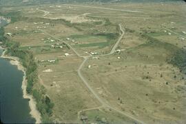
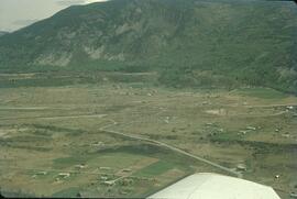
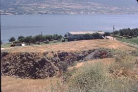
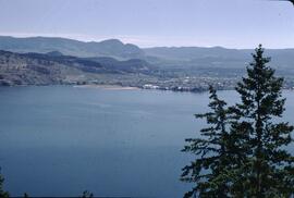
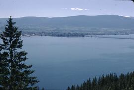
Image depicts a view of Prince George from Cranbrook Hill looking east. Map coordinates 53°54'51.5"N 122°49'05.2"W
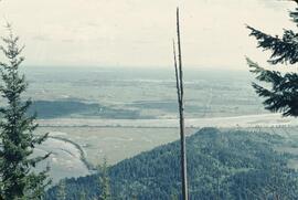
Image depicts a view of Prince George from Cranbrook Hill looking southeast. Map coordinates 53°54'51.5"N 122°49'05.2"W
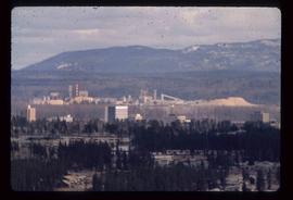
Image depicts a view of Prince George from Cranbrook Hill looking east with pulpmill and downtown in background.
Image depicts a view of Prince George from Cranbrook Hill looking east. Map coordinates 53°54'51.5"N 122°49'05.2"W
Image depicts a view of Prince George from Cranbrook Hill looking east.
Image depicts a view of Prince George from Cranbrook Hill looking southeast. Map coordinates 53°54'51.5"N 122°49'05.2"W
Image depicts a view of Prince George from City Hall looking north. Map coordinates 53°54'46.3"N 122°44'41.9"W
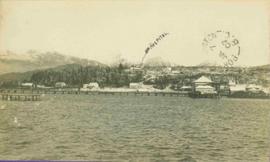
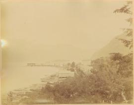
View of pier, cluster of houses and trees with snow topped mountains in background. Handwritten annotation on verso reads: “Hospital” with an arrow pointing to the building. Postage cancelation stamp on verso reads: "PORT ESSINGTON B.C. JUL 7 07". Handwritten annotation on recto reads: “PORT SIMPSON. Mrs. Noble Port Essington B. C. Hope you are feeling better. I am doing splendidly have not felt so well for years. Dr. advises me to stay at least another month A.W.B.”
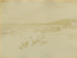
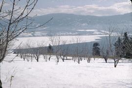
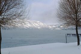
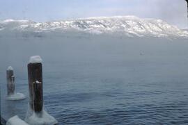
Photograph depicts Port Simpson in winter. Water crosses midground, hills stand in background.
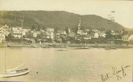
Handwritten photo caption below image reads: "Port Simpson".
Photograph depicts shore and village with a treed hill in the background. Water and boats in foreground. Handwritten annotation in ink on verso of photograph: "Port Simpson B.C.". Semi-legible annotation on recto notes the postcard was addressed to London, England.
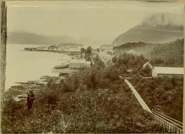
Photograph depicts buildings along shore; bridge and boardwalk cross forest in right foreground. Hills visible in distance.
Handwritten annotation below image reads: "Port Essington from bridge"; on verso: "Heading or full page Illustration Chapter XXIII No2".
Town on right, water on left, mountains in background. Forest trees in foreground.
Handwritten photo caption below image reads: "Port ESSINGTON".
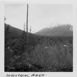
Photograph depicts the wooded area of the Cassiar valley. The projected plant site is outlined in blue ink. Trees and bushes in foreground, snow-capped mountains in background.
Handwritten caption beside this photo reads: "View of Pinion & three sections of Crusher". Red rectangular equipment stands enclosed in wood frame, which is also enclosed in the much larger steel frame of the crusher building. Traveler crane on right.
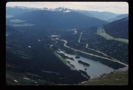
Image depicts a view of Pine Pass on the border between Alberta and British Columbia in the Rocky Mountains.
This photo was taken at a public presentation co-sponsored by Canfor and Northwood introducing the company's "Prince George Air Quality Monitoring System".
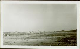
Photograph depicts a flock of birds at beach, water and shoreline in background.
Handwritten annotation on verso reads: “North Beach Massett QCIs."
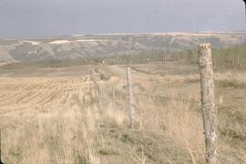
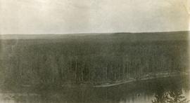
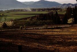
Photograph depicts a view of lot 912 near Nechako River.
Photograph depicts a view of lot 912 near Nechako River.
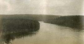
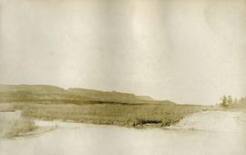
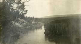
Photograph depicts a view of Nechako River near junction of Stuart River.
Photograph depicts a view of Nechako River near junction of Stuart River.
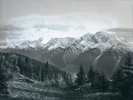
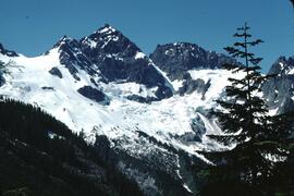
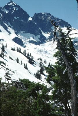
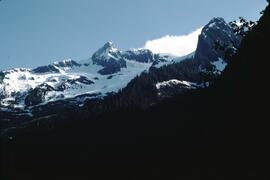
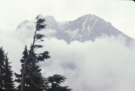
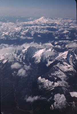
Photograph depicts a snowy mountain range to the south of Wedge Creek with a forested area at the base.
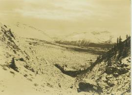
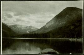
Photograph depicts a view of a mountainous, tree-covered landscape and valley as seen through a mountain pass.
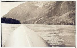
Photograph depicts Mount Selwyn rising on opposite shore in right midground. River in foreground, mountains in background. Handwritten annotation on recto of photograph: "Mount Selwyn Peace River."
Maligne Lake Valley, Jasper National Park
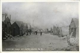
Postcard image of village main street of Tete Jaune
