2013.6.36.1.009.01
·
Item
·
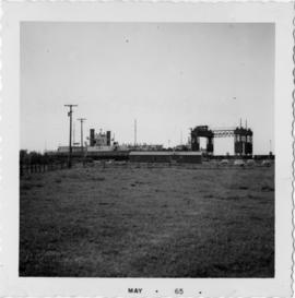
[May 1965]
Part of David Davies Railway Collection
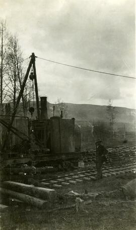
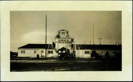
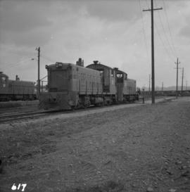
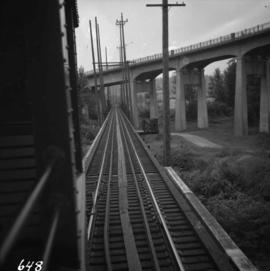
Photograph depicts the track transfer transporter at the Canadian National Railway (CN) repair shops at Port Mann, showing the east face of the main building.