2013.6.36.1.078.12
·
Item
·
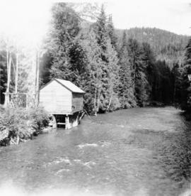
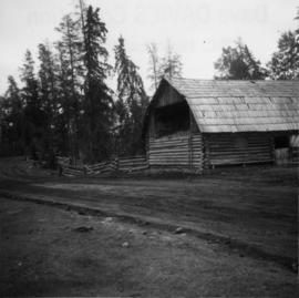
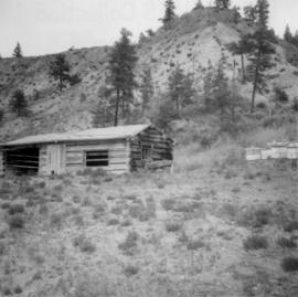
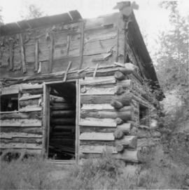
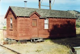
Sept. 1970
Parte de David Davies Railway Collection
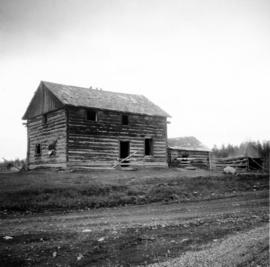
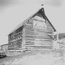
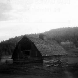
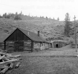
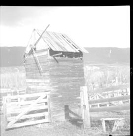
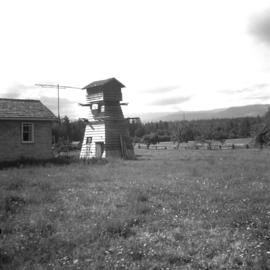
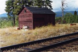
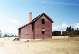
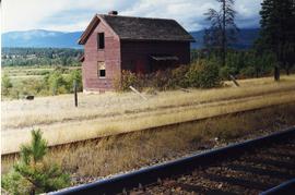
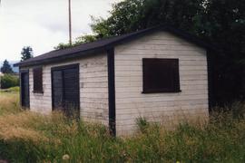
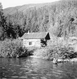
Photograph depicts a trappeers cabin on the northend of Trout Lake and Trout Lake City. It was maintained in good condition by present owners who valued its age.