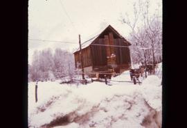
Image depicts a barn full of hay and several cows, possibly near Newlands, B.C.
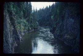
Image depicts what is possibly the Bowron River. The slide is simply labelled "Bowron Canyon."
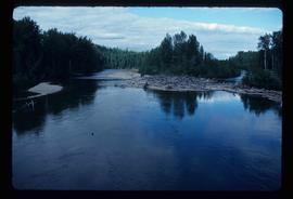
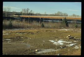
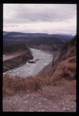
Image depicts what appears to be a log jam on what is possibly the Bowron River. The slide is simply labelled "Bowron Canyon."
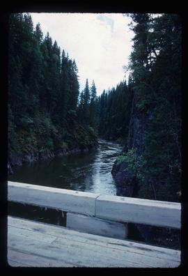
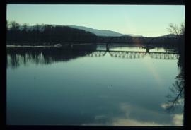
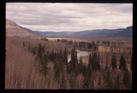
Image depicts what is possibly the Bowron River from a bridge. The slide is simply labelled "Bowron Canyon."
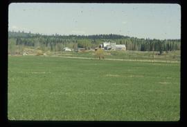
Image depicts the dairy farm in Giscome, B.C. Map coordinates 54°03'53.3"N 122°21'22.6"W
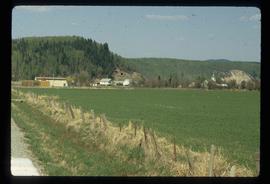
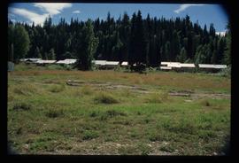
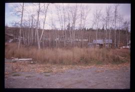
Image depicts Giscome with the school on the left, the remnants of the town site in the middle and the church on the right. Map coordinates 54°03'58.2"N 122°22'04.8"W
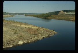
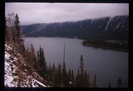
Image depicts the creek flowing into Eaglet Lake. A grey area of hill on the right side of the image appears to be the Giscome Quarry. Map coordinates 54°04'26.2"N 122°22'04.3"W
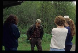
Image depicts a group of people somewhere in Willow River, B.C. The man in the plaid shirt and beige cap is identified on the slide as being Lloyd Edwards.
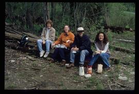
Image depicts four individuals sitting on a log, possibly somewhere near the Hansard Bridge, B.C. The individuals are UNBC faculty members Gail Fondahl, Tracey Summerville, Greg Halseth and an unidentified individual. The slide is labelled: "Hansard Bridge UNBC." Map coordinates 54°04'37.7"N 121°50'39.9"W
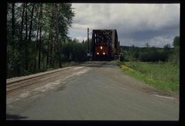
Image depicts a train on the Hansard Bridge across the Fraser River looking west. Map coordinates 54°04'37.7"N 121°50'39.9"W
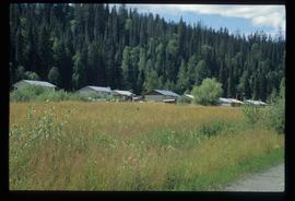
Image depicts a row of houses in Upper Fraser, B.C. Map coordinates 54°06'51.6"N 121°56'26.3"W
Image depicts a row of houses in Upper Fraser, B.C. Map coordinates 54°06'51.6"N 121°56'26.3"W
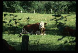
Image depicts a cow at an uncertain location.
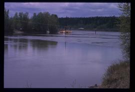
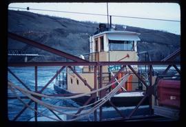
Image depicts what appears to be a ferry crossing a river at an uncertain location.
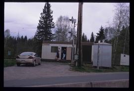
Image depicts two unidentified individuals speaking to each other in the doorway of what appears to be a mobile home. The location is uncertain.
Image depicts the new Hansard Bridge. Map coordinates 54°04'57.9"N 121°51'10.1"W
Image depicts the new Hansard Bridge. Map coordinates 54°04'57.9"N 121°51'10.1"W
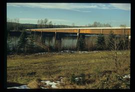
Image depicts the Hansard railroad bridge taken from the new Hansard vehicle bridge. Map coordinates 54°04'58.1"N 121°50'58.0"W
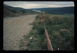
Image depicts a road with a guardrail and open fields somewhere near Dawson Creek, B.C.
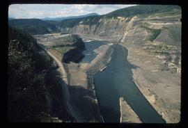
Image depicts a section of the Peace River blocked off by the W.A.C. Bennett Dam. The dam itself is not visible in the image.
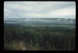
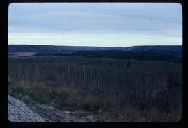
Image depicts an area of forests and fields somewhere near Fort St. John, B.C.
Image depicts a section of forest located somewhere in the Peace River Regional District of B.C.
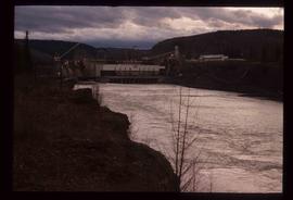
Image depicts a dam on what is possibly the Peace River.
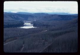
Image depicts what is possibly the Peace River running parallel to a road, possibly Highway 29.
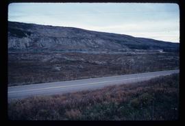
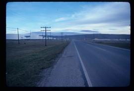
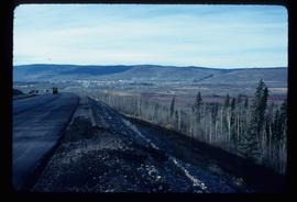
Image depicts a stretch of highway, possibly Highway 29 or 97.
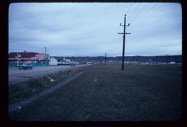
Image depicts a street of shops at an uncertain location somewhere in the Peace River Regional District. A pink and blue building, possibly a theatre, is labelled "Lux."
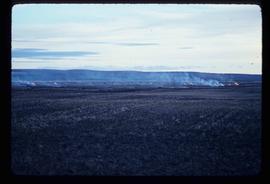
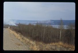
Image depicts grass burning at an uncertain location in the Peace River Region.
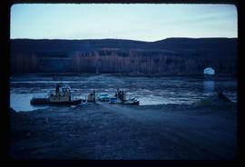
Image depicts the Clayhurst Ferry on the Peace River.
Image depicts the Clayhurst Ferry on the Peace River.
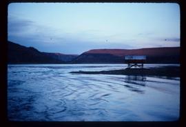
Image depicts the Peace River, possibly near Clayhurst or Hudson's Hope, B.C.
Image depicts the Peace River, possibly near Clayhurst or Hudson's Hope, B.C.
Image depicts a cabin and several other buildings, possibly located in Hudson's Hope, B.C.
Image depicts the Peace River, possibly near Hudson's Hope, B.C.
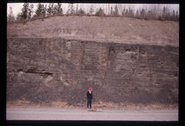
Image depicts an unidentified individual standing in front of a rock face with visible sediment layers. Located somewhere in the Peace River Region, possibly near Hudson's Hope.
Image depicts what is possibly the Peace River.
Image depicts what is either the Peace or Kiskatinaw River in Pine Valley, B.C.
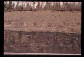
Image depicts a wall of rock with visible sediment layers at an uncertain location in the Peace River Region, possibly near Hudson's Hope.
Image depicts a dam, possibly on the Peace River.
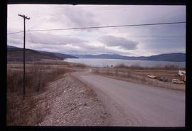
Image depicts a dam and a reservoir of water, possibly on the Peace River.
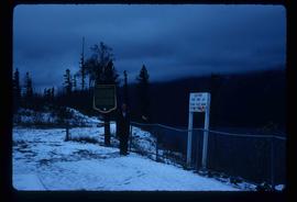
Image depicts an unidentified individual standing near a drop-off in the Pine Pass between Alberta and British Columbia. The sign behind the individual reads: "Pine Pass - 2,868 FT. Here the great barrier of the Rock Mountains is breached by the lowest highway pass. Once the remote route of the trapper, it now links the commerce of the north and markets of the south. The John Hart Highway was completed in 1952 and followed by the P.G.E. in 1958. Gas and oil lines also take advantage of this convenient natural feature."
Image depicts a view of Chetwynd, possibly from Highway 97.
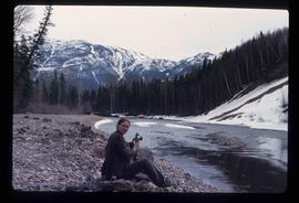
Image depicts an unidentified woman with a camera sitting on the bank of a river.
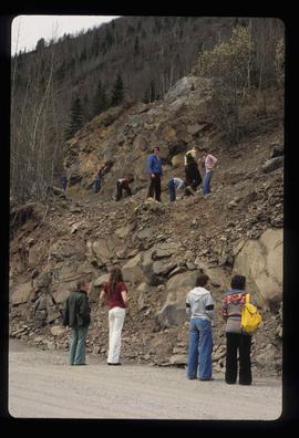
Image depicts numerous individuals who appear to be searching among the rocks on a ledge at an uncertain location in the Peace River Region.
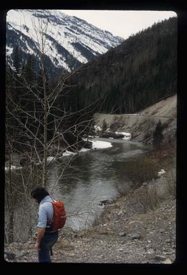
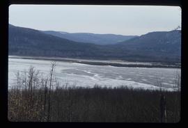
Image depicts a river, possibly the Peace River.
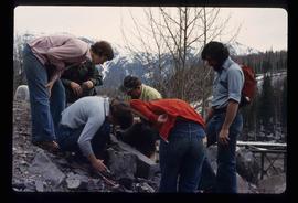
Image depicts a group of individuals who appear to be examining a rock. It is possibly part of an educational trip.
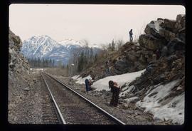
Image depicts a group of individuals who appear to be searching through the rocks near a railway track. It is possibly part of an educational trip.
Image depicts a delta at Moberly Lake north of Chetwynd and south of Hudson's Hope, B.C.
Image depicts an obstructed view of Moberly Lake, located north of Chetwynd and south of Hudson's Hope, B.C.
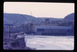
Image depicts the Peace Canyon Dam and generating station under construction on the Peace River.
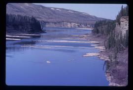
Image depicts what is possibly the Peace River.
