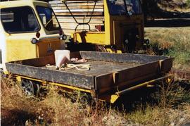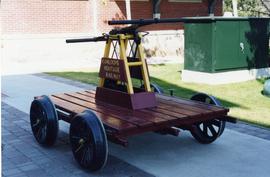
2013.6.36.1.148.08
·
Item
·
[July 2002]
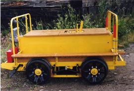
Parte de David Davies Railway Collection
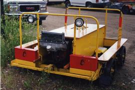
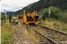
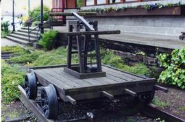
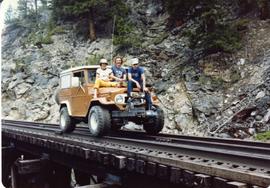
Photograph depicts a restored section gang 'motor car' built by Farimont, with a Fairmont 2 stroke and belt transmission. Possibly 1950's vintage.