The item is a photograph of The Brick building on 3rd Avenue in Prince George.
The item is a photograph of The Brick building on 3rd Avenue in Prince George.
The item is a photograph of Speedy Cash and Gundy's News building on 3rd Avenue in Prince George.
The item is a photograph of Dale's Trad'n Post and Spruce City Resale building on 3rd Avenue in Prince George.
The item is a photograph of two unknown commercial buildings on 3rd Avenue Prince George.
The item is a photograph of a street view looking west down 3rd Avenue Prince George. The TD building and various other commercial businesses are visible.
The item is a photograph depicting multiple businesses on 3rd Avenue, Prince George. The businesses include W.D. West Studios Ltd. and Sweet Sixteen. Photograph originally taken between 1978 and 1979.
The item is a photograph depicting the exterior view of BMO Bank of Montreal at 1310 3rd Avenue and the corner of Quebec Street, Prince George. A Canadian Freightways truck is in front of the bank blocking most of the view. The clock outside reads 8:50 am. Photograph originally taken between 1978 and 1979.
The item is a photograph depicting the exterior view of the front of the BMO Bank of Montreal at 1310 3rd Avenue. Photograph originally taken between 1978 and 1979.
The item is a photograph depicting the exterior view of the front of Sweet Sixteen at 1384 3rd Avenue and Northern Ski at 1334 3rd Avenue, Prince George. There is a man sitting at the entranceway. Photograph originally taken between 1978 and 1979.
The item is a photograph depicting the exterior view of the front of Ako Studio Hair for Men, W.D. West Studios Ltd. and Sweet Sixteen at 1384 3rd Avenue, Prince George. A sign in W.D. West Studios Ltd. states "Custom Picture Framing - Portraits." Photograph originally taken between 1978 and 1979.
The item is a photograph depicting the exterior view of the front of Ako Studio Hair for Men, W.D. West Studios Ltd. and Sweet Sixteen at 1384 3rd Avenue, Prince George. A sign in W.D. West Studios Ltd. states "Custom Picture Framing - Portraits." Photograph originally taken between 1978 and 1979.
The item is a photograph depicting the exterior view of the front of Downtown Travel Ways at 1364 3rd Avenue, Ako Studio Hair for Men and W.D. West Studios Ltd. on 3rd Avenue, Prince George. A sign in W.D. West Studios Ltd. states "Custom Picture Framing - Portraits." Photograph originally taken between 1978 and 1979.
The item is a photograph depicting the exterior view of the front of Northern Hardware at 1389 3rd Avenue, Prince George. Photograph originally taken between 1978 and 1979.
The item is a photograph depicting the exterior view of the front of Northern Hardware at 1389 3rd Avenue, Prince George. Signs in the window state, "You and Your Johnson" and "Johnson A way of life for over 50 years." There is a blue Ford pickup truck parked in front of the store. Photograph originally taken between 1978 and 1979.
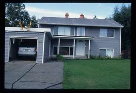
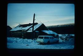
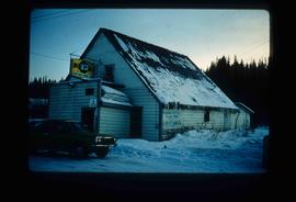
Image depicts a house with a vehicle in a garage and the number 40 on it; location is uncertain.
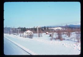
File contains slides depicting places in and between McBride and the Yellowhead Pass via the Yellowhead Highway.
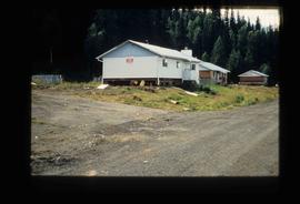
Image depicts a house located somewhere near McBride, B.C.
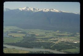
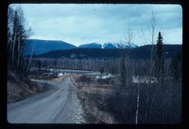
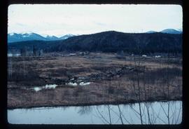
Image depicts a view of McBride in the Rocky Mountain Trench.
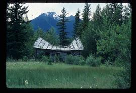
Image depicts a collapsing shack somewhere near Tête Jaune Cache, B.C.
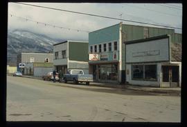
Image depicts a street in McBride, B.C. One of the store signs reads "Allied Hardware."
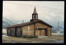
Image depicts the All Saints Anglican Church in McBride, B.C. The slide labels it as having "moved to PG."
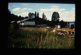
Image depicts the community of Crescent Spur, B.C.
Image depicts the community of Crescent Spur, B.C.
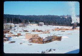
Image depicts what appears to be a small mill in the community of Crescent Spur, B.C.
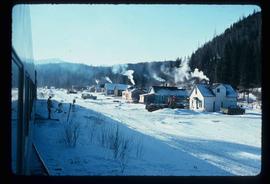
Image depicts a row of houses and the side of a train in Crescent Spur, B.C.
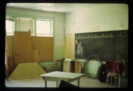
Image depicts a snowman drawn on the chalkboard of what appears to be an unused school, possibly in Lamming Mills, B.C. The slide is labelled "note board school."
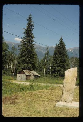
Image depicts a stone marker in Lamming Mills, B.C.
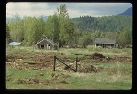
Image depicts a cabin and several sheds somewhere in Goat River, B.C.
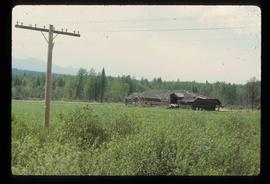
Image depicts an old, collapsing log building somewhere in Goat River, B.C.
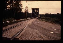
Image depicts the Hansard railroad bridge looking west. Map coordinates 54°04'37.9"N 121°50'46.3"W
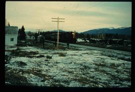
Image depicts railway tracks on the right side of the image, and several old houses alongside it. The location is uncertain.
Image depicts a train and several unidentified individuals who appear to be waiting for it as it passes through Sinclair Mills, BC.
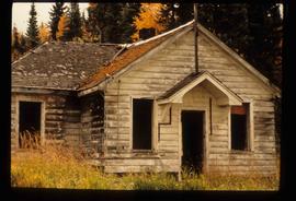
Image depicts an old house missing windows and doors at an uncertain location.
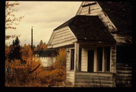
Image depicts an old house missing windows and doors in the foreground, and a bunkhouse in the background, in Sinclair Mills, B.C. Map coordinates 54°01'17.4"N 121°40'53.0"W
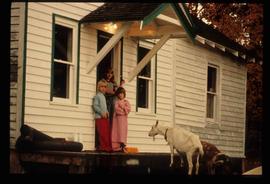
Image depicts three unidentified children standing in the doorway of a house, with two goats ascending the porch steps. The location is uncertain, likely Sinclair Mills, B.C.
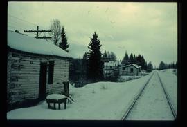
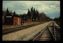
Image depicts two unidentified individuals standing next to the train station, and two railway tracks running through Longworth, B.C.
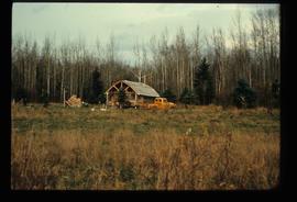
Image depicts a log cabin and an orange truck somewhere in or near Longworth, B.C.
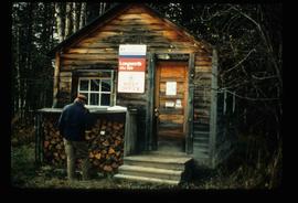
Image depicts the post office in Longworth, B.C.
Image depicts and old house and vehicle in Upper Fraser, B.C. Map coordinates 54°07'05.7"N 121°56'38.9"W
Image depicts the Upper Fraser General Store in Upper Fraser, B.C. Two other signs indicate that it is also a post office and a place that offers propane refills. Map coordinates 54°07'10.8"N 121°56'51.7"W
Image depicts a house being removed from Upper Fraser, B.C. during demolition of town site. A sign on the house reads: "Murray Blackwell House Raising & Moving." Map coordinates 54°06'51.6"N 121°56'26.3"W
Image depicts houses in the Upper Fraser residential area during demolition of town site. Map coordinates 54°06'51.6"N 121°56'26.3"W
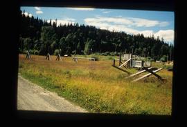
Image depicts Upper Fraser town site playground, after closure of town site. Map coordinates 54°07'01.4"N 121°56'29.9"W
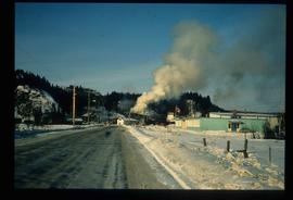
Image depicts the entrance to the Upper Fraser mill yard in Upper Fraser, B.C. Map coordinates 54°07'10.8"N 121°56'51.7"W
Image depicts the Upper Fraser Road running through Upper Fraser, B.C. A newer style round burner is seen in the background. Map coordinates 54°07'05.7"N 121°56'38.9"W
Image depicts an open area with Eaglet Lake in the background. It depicts the previous site of the mill at Giscome, B.C. Map coordinates 54°04'19.7"N 122°22'04.7"W
Image depicts the Giscome B.C. townsite from across the railroad tracks looking southeast. Map coordinates 54°04'19.7"N 122°22'04.7"W
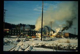
Image depicts the Giscome mill site in Giscome, B.C. The bunkhouse is in the background on the left and the school is in the foreground on the right. Map coordinates 54°04'04.8"N 122°22'04.7"W
Image depicts the Giscome mill site in Giscome, B.C. The bunkhouse is the large building with many windows. A train and railroad tracks are in the foreground. Map coordinates 54°04'17.6"N 122°22'06.1"W
