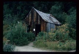
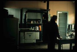
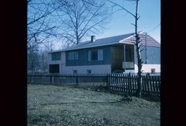
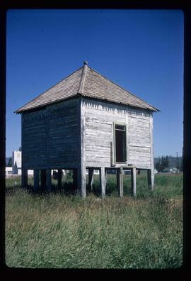
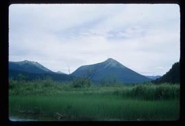
Image depicts a slough area while on approach to Bowron Lake.
Image depicts the sky at either dusk or dawn, from an unknown location.
Image depicts the Bulkley River near Moricetown, B.C.
Image depicts the Bulkley River.
Image depicts the Skeena River at Hazelton, B.C.
Image depicts a totem pole in the historical village of 'Ksan near Hazelton, B.C.
Image depicts Burns Lake, B.C.
Image depicts a camp at the Betty Wendle campsite at Isaac Lake.
Image depicts a log jamb at the Isaac Falls.
Image depicts the river channel leading to the Spectacle Lakes.
Image depicts mountains, taken from the river channel leading to the Spectacle Lakes.
Image depicts a mountain range located somewhere along the Skeena River.
Image depicts Highway 16 en route to Prince Rupert, B.C.
Image depicts the cableway in Willow River, B.C.
Image depicts the Fraser River from Northwood Road in the Prince George area.
Image depicts an unrestored chinese shack in Barkerville, B.C.
Image depicts Barkerville, B.C.
Image depicts the Stellako River.
Image depicts a church located near Mapes, B.C.
Image depicts the interior of a kitchen at an uncertain location.
Image depicts several boats on what appears to be a river, and an old beehive burner in Penny, B.C.
Image depicts the rubble of a demolished house at Island Cache, with several other buildings in the background.
Image depicts a junk pile of bottles, cans and bags, as well as the gutted frame of an old car, at Island Cache.
Image depicts an area of cut trees at Island Cache.
Image depicts numerous houses, and an unknown child standing in a street at Island Cache.
Image depicts a house at Island Cache.
Image depicts a street in Island Cache.
Image depicts a few houses in Island Cache.
Image depicts a street in Island Cache.
Image depicts a wood pile in Island Cache.
Image depicts Wells, B.C.
The item is a photograph that depicts the Munro / Moffat house on 153 North Moffat Street in Prince George. Wood house with a log fence.
Image depicts a two-room schoolhouse in Penny, B.C.
Image depicts a house with ivy growing over it. The location is uncertain.
Image depicts an old house with a torn up roof. The location is uncertain.
Image depicts an old house in Penny and a woman, possibly Sue Sedgwick, standing in front of it. The location is uncertain.
Image depicts the CN Station in Penny B.C.
Image depicts a sunshine recorder at an uncertain location.
Image depicts two unidentified individuals and a van on a farm at an uncertain location, possibly a place called Cypress Hill, with an atmometer and a sunshine recorder.
Image depicts the shore line and surrounding land of a lake or river at an airport, possibly in Prince George, B.C.
Image depicts a bulldozer and truck in an unknown location.
Image depicts an old shack on stilts in Fort St. James, B.C.
Image depicts a Hydraulic Placer mining location in Barkerville which has been completely deforested.
Image depicts a number of small houses at Island Cache.
Image depicts two unknown children in a house somewhere in Island Cache.
Image depicts several old, ruined cars and an unknown individual in Island Cache.
Image depicts a house in Island Cache.
Image depicts what appears to be an animal pen in Island Cache. There is a goat and numerous chickens in the image, as well as a pile of miscellaneous material.