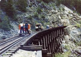
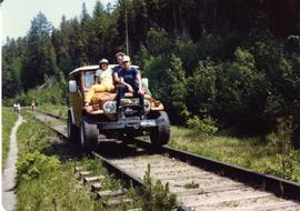
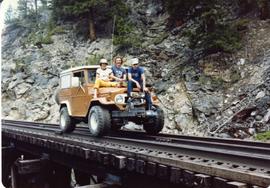
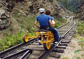
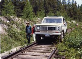
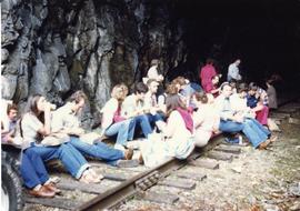
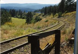
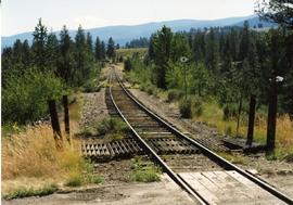
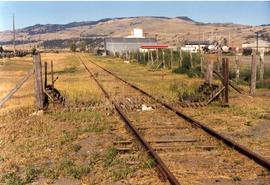
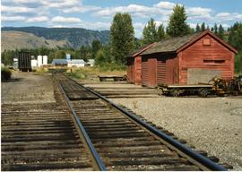
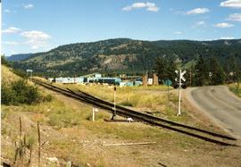
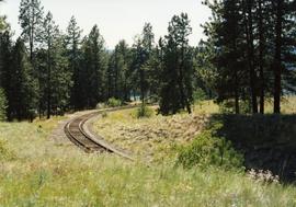
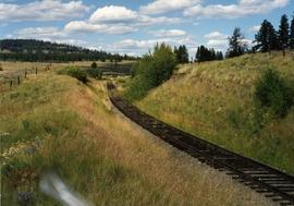
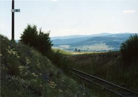
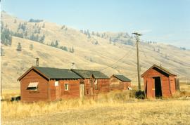
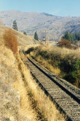
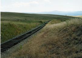
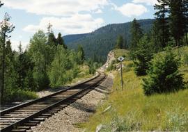
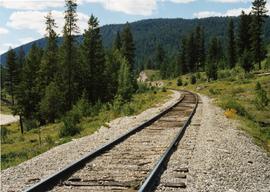
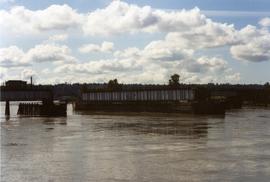
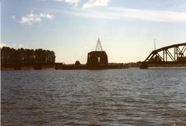
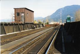
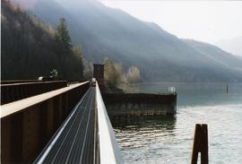
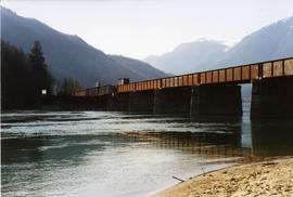
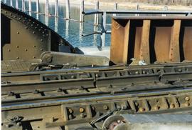
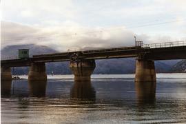
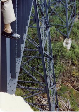
Photograph taken at CPR Myra Canyon. On the 'Save the Trestles' expedition after a line closure at the location.
File consists of documentary photographs taken by David Davies of the Kettle Valley Railway line from Merritt to Midway, British Columbia.
Photograph taken east of the CPR depot in Princeton.
Photograph taken looking downgrade at CPR track, east of Princeton.
Photograph depicts what was once part of Nicola branch. It was later truncated to a spur for oil tanks. At the time the photograph was taken, it was abandoned altogether.
Photograph depicts KVR track in Princeton.
Photograph depicts a CPR spur line (located on the right), running off from the 'main line' that went from Princeton to Penticton. The spur led to a sawmill.
Photograph depicts one of the CPR loop on the 'big loops' near Princeton, on KVR trackage.
Photograph depicts the top of the grade coming out of Princeton, going east to Penticton.
Photograph taken between Summerland and Princeton. Depicts the beginning of the drop into Princeton Valley, just before a big loop.
Photograph depicts a terminus of a boundary Subdivision on mile 126.6 from Nelson.
Photograph depicts KVR (CPR) trackage between Boundary Falls and Midway. The line had not yet been officially abandoned, but it was little used, if not at all.
Photograph taken near Princeton. Looking west, just before dropping into a big loop.
Photograph taken about halfway between Summerland and Princeton.
File consists of documentary photographs taken by David Davies of miscellaneous bridges in British Columbia.
Photograph depicts a CNR bascule bridge across the upper waters of Victoria Harbour. The rest of the trackage had been removed, except for the bridge itself.
Photograph depicts the CPR Pitt River swing bridge in an open position.
Photograph depicts railway track previously owned by BCER. It led onto the east end of Lulu Island and then to Annacis Island. Looking from the Naew West River Walk to the Queensborough bridge that was protected by signals and had a high chain link fence to deter pedestrians. It was likely that the rail was only used at night. Originally built by Canadian Northern Railway to reach Steveston, circa 1917.
Photograph depicts the Pitt River swing bridge in an open position. Apparently, it opened up to half a dozen times a day to allow large pleasure crafts to go through. Photograph taken at high tide when little clearance occurred.
Photograph depicts a CNR lifting bridge in Vancouver.
Photograph depicts a CPR swing bridge in Harrison Mills. Looking east, towards Kilby Store. Swing section in the foreground. It was rarely used.
Photograph depicts a fuel storage shed in Harrison Mills.
Photograph depicts a CPR swing bridge in Harrison Mills. Looking west, on the upstream side of the Harrison River.
Photograph depicts a CPR swing bridge in Harrison Mills. Taken on the downstream side of Harrison River.
Photograph depicts a swing bridge in Harrison Mills. It was rarely used, but all its controls were modern and maintained.
Phoyo depicts a CPR swing bridge in Sicamous.
Subseries consists of prints and negatives depicting railways in British Columbia separated from the textual records of the David Davies Railway Collection.
Subseries consists of printed and photograph postcards depicting railways, buildings, ships, and other transportation in British Columbia.
File consists of postcards depicting the Canadian Pacific Railway on the Alberta border and at other various locations.
Postcard depicts the Canadian Pacific Railway from Vancouver to Lethbridge with grain empties, past Summit Lake, immediately west of the Continental Divide at Stephen, BC, on CP's Laggan Subdivision. July 2, 1995.
Postcard taken along the CPR line, at a camp in Yoho Valley.
Postcard depicts Morant's Curve which was the most famous photograph location on the Canadian Pacific Railway. Here it was seeen with the Bow Range on the Continental Divide in the background.
Postcard depicts the Canadian Pacific Railway line where the Great Divide between BC and Alberta.
Postcard depicts the time when the CPR changed their image and colours and an eight car train was dispatched to tour the system and show it off. MLW Century 424 locomotives 4242 and 4239 were used and are shown with plug door box cars for newsprint and perishables at the Sabuck Range near Banff, Alberta, 1968.
Postcard depicts 'The Gap," the entrance to the Rockies.
Postcard depicts a CPR scenic dome streamliner "The Canadian" in the Canadian Rockies. Taken at Morant's Curve, east of Lake Louise and the B.C./Alberta border. Looking west towards Bow River. Morant's Curve caled so because it was the favorite spot of official CPR photographer, Nicholas Morant, 1910-1999.
Postcard depicts a CPR scenic dome streamliner "The Canadian" in the Canadian Rockies. Taken at Morant's Curve, east of Lake Louise and the B.C./Alberta border. Looking west towards Bow River.
Postcard depicts totem poles at Wapla Lake Camp. The lake was the headwaters of the Kicking Horse River.
Postcard depicts Castle Mountain found along the Canadian Pacific Railway line.
Postcard depicts a CPR streamliner crossing the Canadian Rocky Mountains.
Postcard depicts the Great Divide between Alberta and British Columbia, along the CPR line.
Postcard taken at the Laggan Subdivision, the most famous photograph location on the CPR system due to its official photographer, Nicholas Morrant, 1910-1986. Possibly a 1920's view. From 1978, this location became known as 'Morant's Curve.' This view was a rarity in showing no train on the track.
Postcard depicts a CPR diesel electric train and Mt. Eisenhower in the Canadian Rockies.