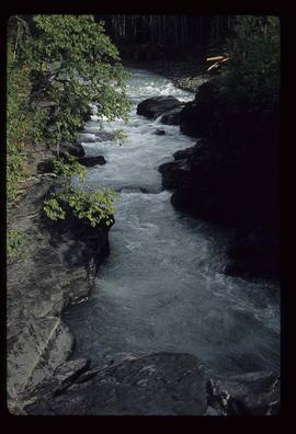
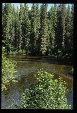
Image depicts the Kiteen River at Dragon Lake near Aiyansh, B.C.
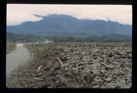
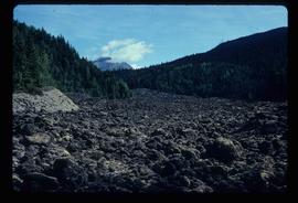
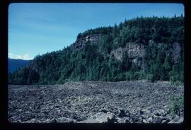
Image depicts the Tseax Lava Flow.
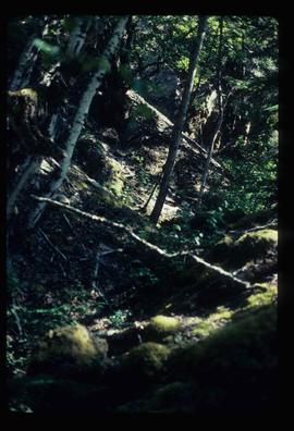
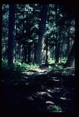
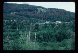
Image depicts a forested area located somewhere near the Tseax Lava Flow.
Image depicts the Tseax Lava Flow, looking up valley.
Image depicts old lava cliffs and the Tseax Lava Flow in Nisga'a Provincial Park, near New Aiyansh, B.C.
Image depicts a forested area located somewhere near the Tseax Lava Flow.
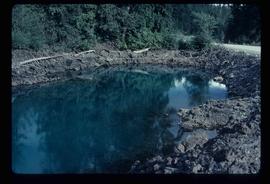
Image depicts what appears to be a small pond near the Tseax lava flow.
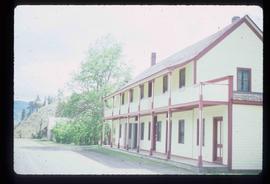
Image depicts the front of the ranch house on the historic Hat Creek Ranch site north of Ashcroft, B.C.
Image depicts a dirt road somewhere near Bralorne, B.C.
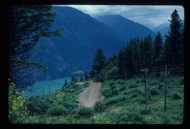
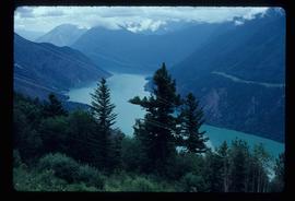
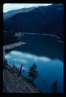
Image depicts an elevated view of a river near Bralorne, B.C.
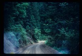
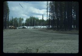
Image depicts a dirt road leading through a forest with what appears to be an area for turning around at the end.
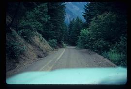
Image depicts a car on a dirt road leading through a forest.
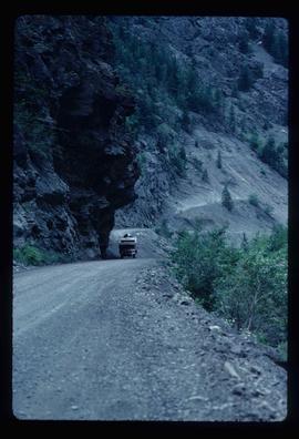
Image depicts a camper passing under an overhang as it drives along a narrow road near a cliff; located somewhere near Bralorne, B.C.
Image depicts a river somewhere near Bralorne, B.C.
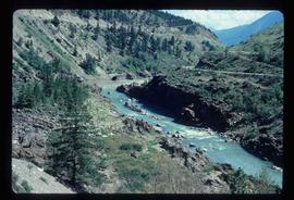
Image depicts a creek somewhere near Bralorne, B.C.
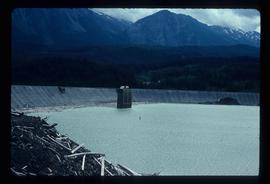
Image depicts the Lajoie Dam on the Bridge River from the upstream side.
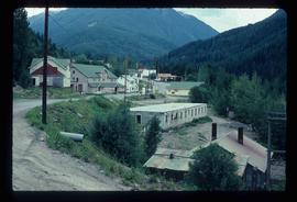
Image depicts Bralorne, B.C.
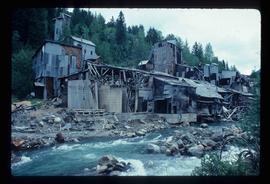
Image depicts what is possibly an old, rundown mill in Bralorne, B.C.
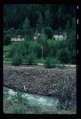
Image depicts several houses in Bralorne, B.C.
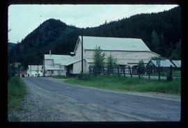
Image depicts a few boarded-up buildings in Bralorne, B.C.
Image depicts an area of Barlone, B.C. surrounded by trees.
File contains slides depicting images of areas in the Carp Lake Provincial Park.
Image depicts the McLeod River in Carp Lake Provincial Park.
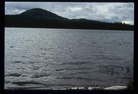
Image depicts War Lake.
File contains slides depicting images of areas around Dease Lake, B.C.
Image depicts a number of identical buildings and vehicles at "Driftwood Creek" in the Driftwood Canyon Provincial Park.
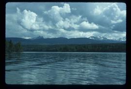
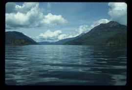
Image depicts a view of Takla Lake.
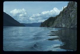
Image depicts the "west arm" of Takla Lake.
Image depicts the "west arm" of Takla Lake.
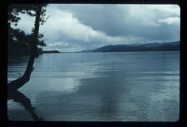
Image depicts a view of Takla Lake from a cabin on the "west arm."
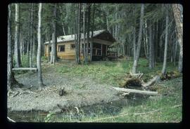
Image depicts a cabin on the "west arm" of Takla Lake.
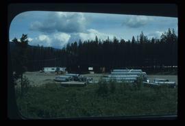
Image depicts a few piles of culverts in Leo Creek, B.C.
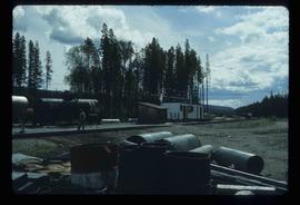
Image depicts a building, possibly an office building, next to a set of rail road tracks in Leo Creek, B.C. An unknown individual is present, and a number of barrels and culverts are visible in the foreground.
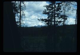
Image depicts woods located west of Leo Creek, with mountains in the distance.
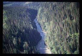
Image depicts a view of the Herrick River in what is possibly McGregor Canyon; the slide is simply labelled "McG Canyon - above Herrick."
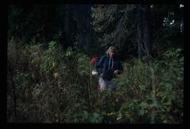
Image depicts a woman named "Gail" on a trail to Portage Lake.
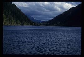
Image depicts Divide Lake.
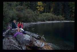
Image depicts two women sitting on a fallen tree on the shore of a lake, possibly Portage Lake; the woman in blue is "Gail," and the woman in red is Sue Sedgwick.
File contains slides depicting places in and around the Junction Sheep Range Provincial Park south-west of Williams Lake.
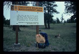
Image depicts a sign titled "Chilcotin Wildlife Management Area" somewhere near Riske Creek, B.C. It reads: "This trail has been provided by the Fish and Wildlife Branch in co-operation with Riske Creek Ranching Ltd., as access to the Chilcotin Wildlife Management Area. Please do not leave the the trail as the surrounding land is private property."
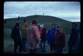
Image depicts a group of hikers, possibly somewhere near Riske Creek, B.C.
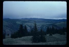
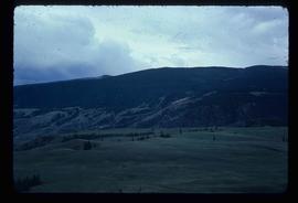
Image depicts a view of the landscape of the Chilcotin Wildlife Area.
Image depicts a view of the landscape of the Chilcotin Wildlife Area.
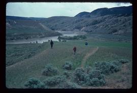
Image depicts a group of hikers hiking towards what is possibly the Chilcotin River.
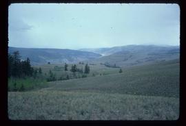
Image depicts the rolling hills of the Chilcotin Wildlife Area.
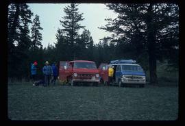
Image depicts the hiking group packing their gear into two vans.
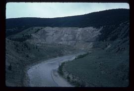
Image depicts what is possibly the Chilcotin River.
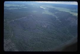
Image depicts an aerial view of a section of land, likely near the Fraser River, that is possibly either a slump or part of a mining operation. The slide is labelled "slump or mining."
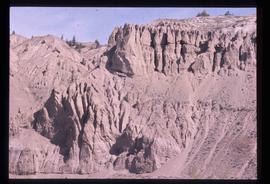
Image depicts an eroding rock face at an uncertain location.
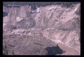
Image depicts an eroding rock face; the river in the right corner of the image is possibly the Fraser River.
