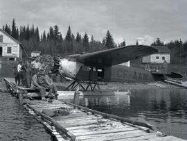
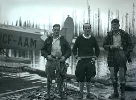
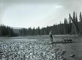
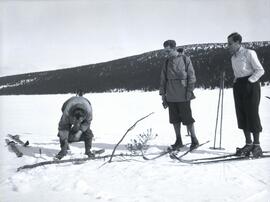
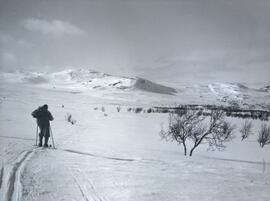
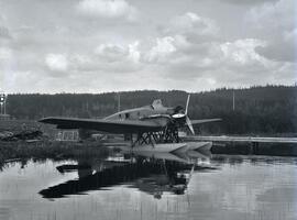
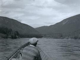
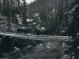
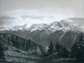
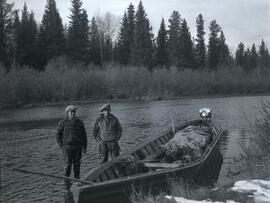
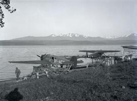
Aperçu avant impression Fermer

Affichage de 1199 résultats

Archival description
1070 résultats avec objets numériques Afficher les résultats avec des objets numériques
Sustut Lake and view west
2021.06.080 · Pièce · Sept. 1931
Fait partie de Emil Bronlund Photograph Collection

Photograph depicts a wide view of Sustut Lake from the west with a heavily forested area on both sides of the lake with a snow-covered mountain range in the background.

2021.06.056 · Pièce · [June 1931 or July 1931]
Fait partie de Emil Bronlund Photograph Collection

Photograph depicts a man standing beside a discovery vein along a rocky cliff. The location is believed to be the east side of Duncan Mountain, east of the north end of Thutade Lake, some 140 miles northeast of Stewart. The Cairn group of 12 mining claims was located by Cominco Ltd. in 1931.

Parker photograph collection
2011.13 · Collection · [between 1910 and 1930]

The photographs depict the geographic areas of Stewart, BC, Boundary Pass, Nelson River, Bitter Creek Glacier, Portland Canal, Red Cliff and Bear Creek; as well as the ships “Camosun” and “S.S. Prince George.” Types of subjects identified in this collection include: community life, surveying, mining and transportation (i.e. dog-sledding, horse and buggy, and the Portland Canal Short Line Railway “P.C.S.L. Rlwy”).

2021.06.011 · Pièce · [July 1930]
Fait partie de Emil Bronlund Photograph Collection

Photograph depicts Frank 'Shorty' Weber steering a dug-out canoe on the Omineca River. The background of the photograph depicts log cabins at Old Hogem built along the shoreline of the river in front of a forest with a mountain ridge in the background.

Frank ‘Shorty’ Weber had a trapline on the upper Ingenika for over 30 years. and he was well-known in the Finlay River area.