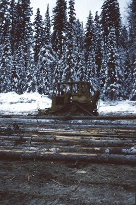
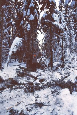
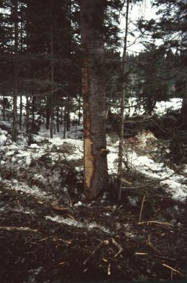
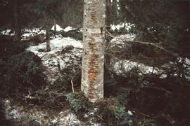
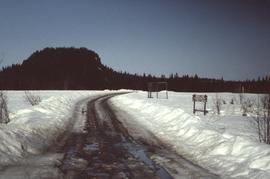
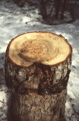
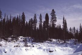
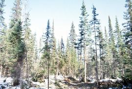
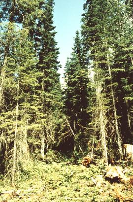
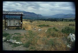
Item is a small-scale reproduction of a BC Forest Service Aleza Lake Research Forest map.
Item is a hand-drawn map of a plot in the Aleza Lake Research Forest. Individual trees are marked and numbered.
File consists of a photograph commemorating the signing of the first Aleza Lake Research Forest Management Plan. Front row, left to right: Ken Pendergast, BC Forest Service Prince George District Manager; Harry Coates, BCFS Forest Research Technician (1957-1993); John Revel, BCFS Silviculture Forester (1960-1993). Back row, left to right: Mike [?], BCFS Prince George Silviculture Manager; Henry Benskin, BCFS Research Branch; Michael Jull, BCFS Research Silviculturist, Prince George Region; Dan Lousier, BCFS Prince George Region Research Section Head; Brian Harding, Northwood Pulp & Timber Ltd. Woodlands Manager.
Annotation on photograph verso: "View south of unit 27 Post-logging. 15/1/92. Summit Lake Selection Trial"
Annotation on slide: "Summit Lake D4H highdrive skidder"
Annotation on slide: "Summit Lake M. Jull on skid road with advanced regen".
Annotation on slide: "Summit Lake".
Annotation on slide: "Summit Lake, March 1992".
No annotation provided on slide.
Annotation on slide: "Summit Lake, Light Abrasion".
No annotation on slide.
Annotation on slide: "Decay in subalpine fire scarred by 1955 stand entry (logged w 91/92), Summit Lake Trial".
No annotation on slide.
Annotation on slide: "Light residual basal area, Summit Lake, Summer '92, Jull".
Item is a hand-drawn map of a plot in the Aleza Lake Research Forest. Individual trees are marked and numbered.
Annotation on slide: "CP 57 Lower Burnt, January 1992, Rubber-tired skidder on road, R-O-W in advance regen, Dawson Crk district"
Annotation on photograph verso: "View SE from Jtn of A Road and Main Road. Uncut stand on left; selection logging virtually complete in centre and right. 15/1/92. Summit Lake Selection Trial"
Annotation on slide: "Summit Lake D4H highdrive"
Annotation on slide: "Summit Lake, March 1992".
Annotation on slide: "Summit Lake Select Trial: Resid. Basal Area Study".
No annotation on slide.
Annotation on slide: "Basal scarring on Douglas fir, Summit Lake".
Annotation on slide: "Summit Lk., Mod. vol. removal".
No annotation on slide.
Annotation on slide: "Heavy Residual Basal Area: Summit Lake".
Image depicts the Cheslatta River.
Image depicts a few unknown individuals walking through the forest at Cheslatta.
Image depicts the Cheslatta River.
Image depicts the Cheslatta Falls.
Image depicts a view of the Okanagan Kettle Valley.
Image depicts a view of Kettle Valley, with a bridge of the old Kettle Valley Rail Road visible on a slope.
Image depicts a woman walking along a trail somewhere in Kettle Valley, B.C.
Image depicts a woman walking along the trail of the Kettle Valley Rail Road.
Image depicts the trail of the old Kettle Valley Rail Road.
Image depicts a man and woman standing in the mouth of a tunnel from the old Kettle Valley Rail Road.
Image depicts the mouth of a tunnel from the Kettle Valley Rail Road.
Image depicts a man standing on the old Kettle Valley Rail Road.
Image depicts a van on a narrow road, likely the Kettle Valley Trail.
Image depicts a hill in kettle Valley B.C.
Image depicts the Kenney Dam near Cheslatta, B.C.
Image depicts the Cheslatta River.
Image depicts the Cheslatta Falls.