The map of Canada is part of a greater booklet on Canadian history. This booklet was intended to help those preparing for their Canadian citizenship interview.
The map is split into four time periods of colonial exploration. The map depicts pre-colonial, post-colonial, traditional, and colonial expansion.
The map depicts the highest mountains in British Columbia; includes the Rocky Mountains, the Northern and Southern Plateaus, and the Mackenzie Mountain area.
The map depicts the biotic regions and forests in British Columbia.
This photocopy of a 1911 pre-emptor's map depicts land parcels in the vicinity of the Fraser River, Salmon River, and Willow River in the Fort George and Peace River areas.
The map depicts the town of Kitimat and on the other side of the map there is an advertisement for Northland Shipping.
The map depicts multiple real-estate listings by Multiple Listing Service (MLS) Prince George members.
Map depicts the climactic regions of British Columbia which includes the coast, interior, and the northwest.
Map depicts central British Columbia including Prince George, Queen Charlotte Island, Prince of Wales Island, Prince Rupert, and describes what these areas are known for.
File consists of maps and pamphlets for British Columbia historic trails, waterways, historic towns, and geological features. Materials include newspaper clippings, placemats, pamphlets, and maps. Highlights include:
- Parks Canada, "Fort Langley National Historic Park British Columbia", [198-?] (pamphlet)
- North Pacific Cannery Village & Museum, "Discover British Columbia's Oldest Surviving Salmon Cannery Only 20 minutes from Prince Rupert", [198-?] (pamphlet)
- Ministry of Lands, Parks and Housing, "Barkerville Provincial Historic Park", 1986 (pamphlet)
- Map, "Yellowhead Highway 16 West Gateway to Alaska", [197-?]
- Columbia River Projects, "Mica Dam", [197-?] (pamphlet)
- Ministry of Lands, Parks and Housing, "Crooked River Provincial Park", 1980 (pamphlet)
- Parks Canada, "Fort St. James National Historic Park", 1981 (pamphlet)
- "Centennial Map of Canadian History and Achievements 1867-1967"
- B.C. Hydro, "W.A.C Bennett Dam Peace River", 1971 (pamphlet)
- Ministry of Lands, Parks and Housing, "Tweedsmuir Provincial Park (south)', 1984 (pamphlet)
- McKenzies M7 Trails West, "Explore the Canadian Rockies", [198-?] (pamphlet)
- Department of Lands, Forests, and Water Resources, "Coastal Systems", 1968 (map)
File consists of newspaper clippings regarding Vanderhoof and its claims of being the geographical centre of the province of British Columbia.
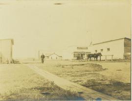
Photograph depicts the main street of Rolla with a dirt street and wooden sidewalks, tethered horses, and the storefront of H.G. Atkinson General Merchants. Three people are visible walking through the streets.
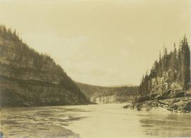
Photograph depicts the Peace River Canyon with the Peace River in the foreground and rocky, tree-lined cliffs flanking the river. In the background a forested mountain base is visible.
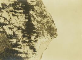
Photograph depicts a craggy mountain peak covered with coniferous trees and snow.
Photograph depicts a mountain goat walking along a steep precipice.
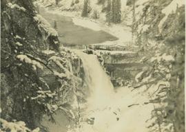
Photograph depicts a river leading into a waterfall amidst snow-covered trees.
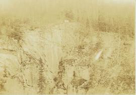
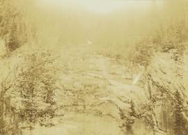
Photograph depicts a mountain goat standing at the edge of the striated and deeply cut banks of an unseen river with a forested area in the background.
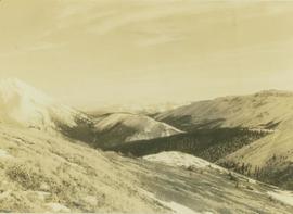
Photograph depicts a vista from the Canadian Rockies with patches of snow.
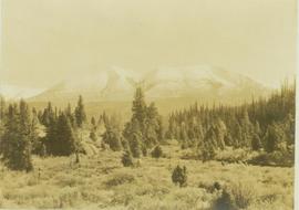
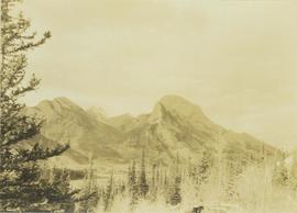
Photograph depicts a Rocky Mountain vista seen across a forested plateau.
Photograph depicts Roche Myette along Davona Creek near a campsite.
Photograph depicts snow covered mountain peaks seen through a mountain pass near Jasper Park.
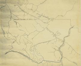
Map depicts the rivers, railways, and select lakes and towns located at Jasper Park between the northern boundary of the park and the townsite of Jasper. Part of the border between Alberta and British Columbia is visible on the west of the map.
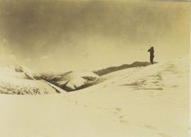
Photograph depicts one unidentified man surveying a landscape from a snowy mountain peak with other mountain ranges in the background.
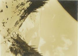
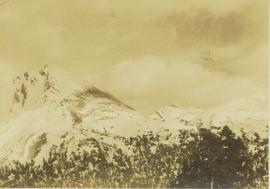
Photograph depicts a snow-covered mountain slope with trees at the base of the mountain.
Series consists of nine photographs of Prince Rupert scenery, buildings, residents and surrounding area. Includes image of totem and dugout canoe.
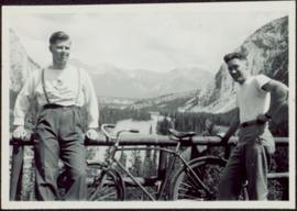
Item is a photograph of Ray Williston and Bruce Brown with a bicycle.
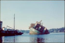
Item is a photograph of a self-dumping log barge in action.
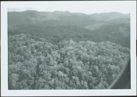
Item is a photograph of a forested area southwest of Chittagong, Bangladesh close to the border with Burma.
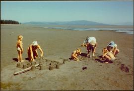
Item is a photograph of the women and children on Rathrevor Beach.
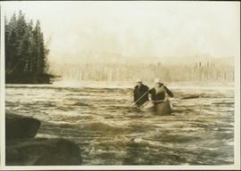
Item is a photograph of Mr. Williston and his son Dr. Hubert Williston in May 1967 canoeing down the Parsnip / Peace system before the W.A.C. Bennett Dam flooded the area.
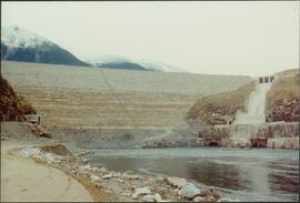
Item is a photograph of the Bennett Dam.
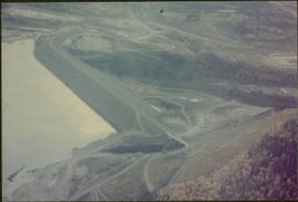
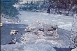
Item is a photograph of the coffer dam built to isolate the construction site for the W.A.C. Bennett Dam.
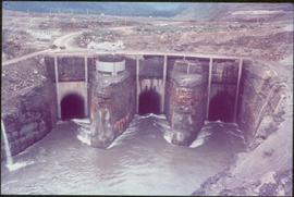
Item is a photograph of the three tunnels built to divert the Peace River around the Bennett Dam construction site.
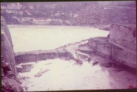
Item is a photograph of the construction of a temporary river bed to divert the Peace River during construction of the W.A.C. Bennett Dam.
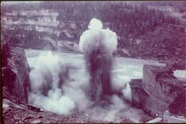
Item is a photograph of the explosion which opened up the diversion route for the Peace River during construction of the W.A.C. Bennett Dam.
Item is a photograph of the diversion tunnel as engineers plan to blast the plug to allow the Peace River to be diverted for construction of the W.A.C. Bennett Dam.
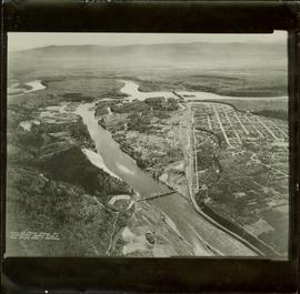
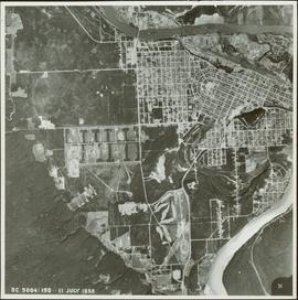
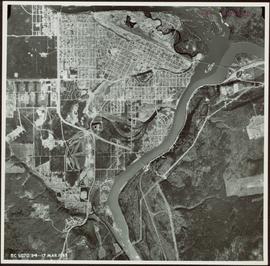
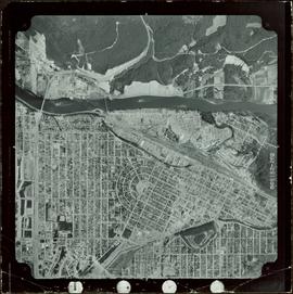
Item is a photograph of Prince George taken from the air, looking east with the Cameron Street Bridge in the foreground.
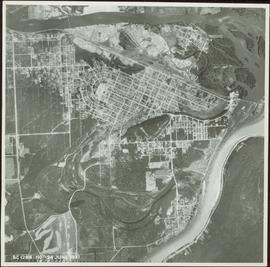
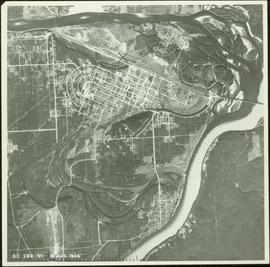
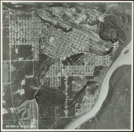
Item is a photograph of Prince George taken from the air.
Item is a photograph of Prince George taken from the air.
Item is a photograph of Prince George taken from the air on August 2, 1965.
Item is a photograph of Prince George taken from the air.
Item is a photograph of Prince George taken from the air.
Item is a photograph of Prince George taken from the air.
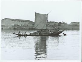
Item is a photograph of a sail boat hauling logs.
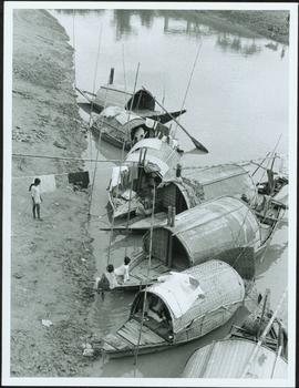
Item is a photograph of people and boats on the shore of a river.
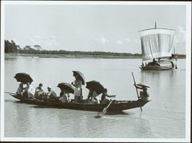
Item is a photograph of people in a boat on a river with another boat in the background.
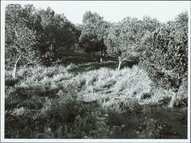
Item is a photograph of a forested area.
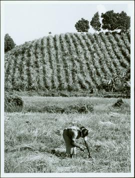
Item is a photograph of a woman working in a field.
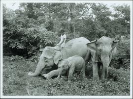
Item is a photograph of a forested area with man riding a elephant with two others nearby.
