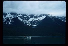
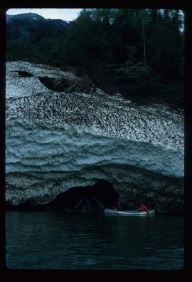
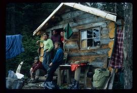
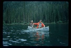
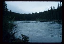
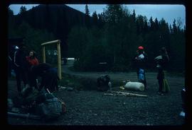
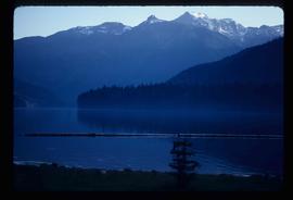
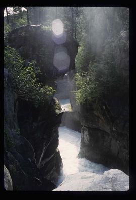
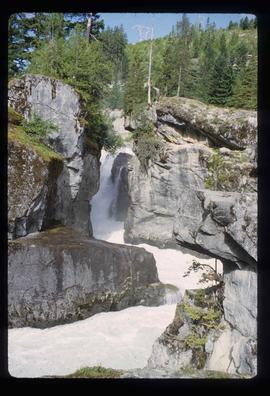
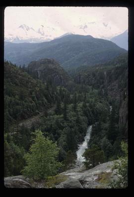
Image depicts the Cariboo Falls.
Image depicts a cirque in the mountains surrounding Lanezi Lake. Two individuals can also be seen canoeing on the lake.
Image depicts the snow still remaining from an avalanche at Lanezi Lake. Two people are also seen canoeing on the lake.
Image depicts the canoe group at the Turner Creek Cabin by Lanezi Lake.
Image depicts two individuals canoeing on Lanezi Lake.
Image depicts four individuals canoeing on Lanezi Lake.
Image depicts two individuals fishing in a canoe on McCleary Lake. The slide is also labelled "dolly," likely meaning the fish in the net is a Dolly Varden trout.
Image depicts the Isaac Falls.
Image depicts a log jamb at the Isaac Falls.
Image depicts the path taken during the portage to McCleary Lake.
Image depicts a section of Isaac Lake which is apparently known as the "chute."
Image depicts a camp at the foot of Isaac Lake.
Image depicts Isaac Lake from the Betty Wendle campsite.
Image depicts the sunset over Isaac Lake from the Betty Wendle campsite.
Image depicts a camp at the Betty Wendle campsite at Isaac Lake.
Image depicts Isaac Lake.
Image depicts the foot of Indianpoint Lake.
Image depicts Indianpoint Lake.
Image depicts an unknown individual in a canoe on Indianpoint Lake.
Image depicts a pair of Rainbow trout from Indianpoint Lake.
Image depicts the canoe group around a campfire at the head of Indianpoint Lake.
Image depicts the canoe group portaging to Indianpoint Lake.
Image depicts the canoe group preparing to canoe on Beaver Pond, which is the start of Kibbee Lake.
Image depicts a group of people preparing to portage their canoe equipment in Bowron Lake Provincial Park.
File contains slides depicting the Bowron Lake Provincial Park.
Image depicts a ferry entering Horseshoe Bay in the Howe Sound region.
Image depicts what is possibly the Lillooet River, full of driftwood.
Image depicts a lake with a "Swim at Own Risk" sign at an uncertain location.
Image depicts a lake and a mountain in the distance. The location is uncertain.
Image depicts a farm at an uncertain location.
Image depicts Nairn Falls.
Image depicts Nairn Falls in Nairn Falls Provincial Park.
Image depicts a view of Nairn Falls Provincial Park.
Image depicts two trucks on a road at an uncertain location.
Image depicts an old building, possibly located at the closed Britannia Mine.
Image depicts a piece of industrial machinery, possibly located at the closed Britannia Mine. Two unknown individuals are also present in the image.
Image depicts a conveyor belt, possibly located inside one of the old buildings at what is possibly the closed Britannia Mine.
Image depicts a number of old buildings, possibly located at the closed Britannia Mine.
Image depicts the inside of a mine with an unknown individual present. It is possibly the inside of the closed Britannia Mine.
Image depicts the entrance to a mine with an unknown individual present. It is possibly the entrance to the closed Britannia Mine in the Howe Sound Region.
Image depicts a train in an uncertain location.
Image depicts a train in an uncertain location, though it is possibly Howe Sound in the background.
Image depicts what appears to be an apartment building among several others in an uncertain location.
Image depicts some power lines and mountains near Pemberton, B.C.