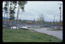
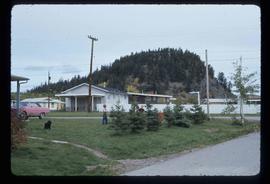
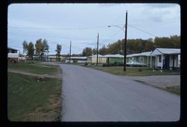
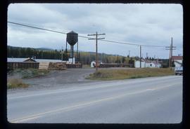
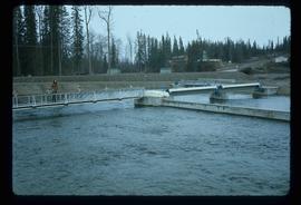
Image depicts the entrance to the historical village of 'Ksan in Hazelton, B.C.
Image depicts a view of a lake that is near Telkwa, B.C. The slide is labelled as "Telkwa - McClure Lake," though it is possibly Tyhee Lake.
Image depicts a totem pole beside the grave marker of the Chief Lu-dal-da-zuatz, in Kispiox, B.C.
Image depicts numerous totem poles in Kispiox, B.C.
Image depicts an old house in Kispiox, B.C.
Image depicts the public library in Hazelton, B.C.
Image depicts a view of the Fraser Lake from the Fraser Lake campsite.
Image depicts a view of the Fraser Lake from Lejac, B.C.
Image depicts a couple of houses in Fraser Lake, B.C.
Image depicts a few buildings in Fraser Lake, B.C.
Image depicts a group of children playing a yard in Fraser Lake, B.C.
Image depicts a row of houses in Fraser Lake, B.C.
Image depicts a train passing through Endako, B.C.
Image depicts the Endako General Store in Endako, B.C.
Image depicts the Endako Hotel in Endako, B.C.
Image depicts the Stellako River.
Image depicts a view of the Fraser Lake skyline.
Image depicts an unknown individual with a raft on the Stellako River. The slide is labelled "fisheries research."
Image depicts the Stellako River.
Image depicts Noralee, B.C.
Image depicts a mountain in Smithers, B.C.
Image depicts a stretch of road through the Bulkley Valley.
Image depicts the 'Ksan historical village in Hazelton, B.C.
Image depicts the Bulkley River running through Moricetown Canyon.
Image depicts a view of Bulkley Valley.
Image depicts a view of the scenery between Smithers and Telkwa, B.C.
Image depicts the ferry at Isle Pierre, B.C.
Image depicts a valley of fossil beds, possibly the Bulkley Valley.
Image depicts a mountain in Smithers, B.C.
Image depicts a small group of people standing near the Bulkley River at Moricetown, B.C.
Image depicts the mouth of the Kispiox River.
Image depicts an old, partially burnt totem pole in Kispiox, B.C.
Image depicts a large gathering of people in the interior of a First Nations' longhouse located in the historical village of 'Ksan in Hazelton, B.C.
Image depicts the Inlander Hotel in Hazelton, B.C. The peak of the Rocher de Boule mountain is visible in the background.
Image depicts the peak of the Rocher de Boule mountain from Hazelton, B.C.
Image depicts the Fulton River.
Image depicts the entrance of the Fulton River.
Image depicts the Fulton River.
Image depicts a number of people standing at what appears to be a farm fishery [?] on the Fulton River.
Image depicts the Fulton River.