Imprimir vista previa Cerrar
Mostrando 2193 resultados
Archival description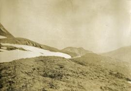
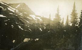
Views from the summit of Hudson Bay Mountain between John Brown and Kitseucla Creeks
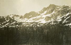
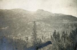
Glaciers on Babine Mountain, south of 55th parallel
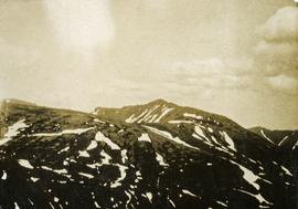
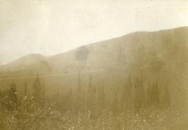
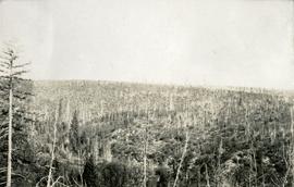
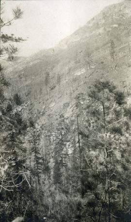
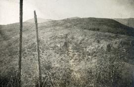
Range south of 55th parallel
Range south of 55th parallel
Range south of 55th parallel
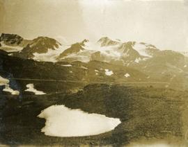
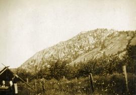
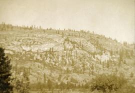
Range north of 55th parallel
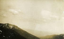
Range north of 55th parallel
Views from Kitseucla summit
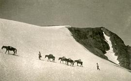
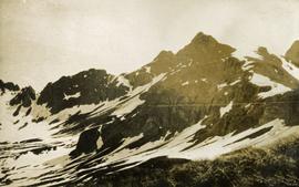
Crossing Kitseucla summit at 6800 feet elevation
Crossing Kitseucla summit at 6800 feet elevation
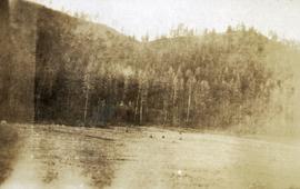
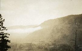
Looking down the Skeena River valley from Skeena Crossing
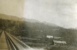
Looking down the Skeena River valley from Skeena Crossing
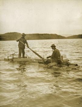
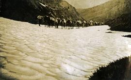
Crossing Babine Lake
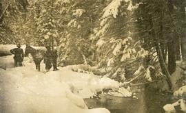
Nearly snowed in
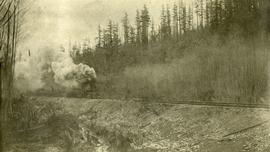
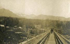
Grand Trunk Pacific track laying machine near John Brown Creek
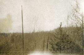
55th parallel near Bulkley River, BC
55th parallel near Bulkley River, BC
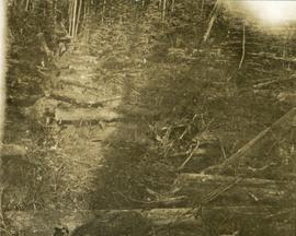
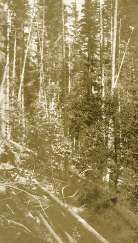
Trail through windfall
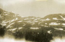
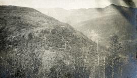
Looking east from Babine range
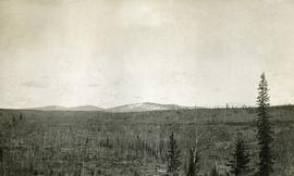
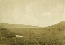
Looking up Government Creek, Cariboo mountains in the background
East of Woodpecker Island
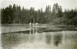
A bathing party, Cariboo 1914
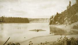
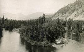
Looking north on Fraser River from Stone Creek
Timber growth east of Fort George Canyon
Morrissey Creek near Grand Forks, BC
Gilpin Range looking west
Gilpin Range looking east
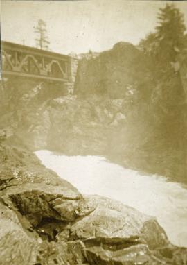
Canadian Pacific Railway Bridge, Cascade, BC
Where we camped on Kettle River at Cascade, BC
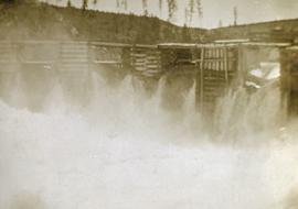
Power Dam near Cascade, BC
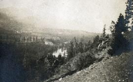
Valley of Kettle River between Cascade, BC and the American Boundary
Mountain on American Boundary lines
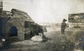
Bear cubs at Cascade, BC
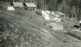
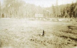
Outbuildings and camp near Sutherland Creek
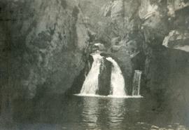
McRae Creek Canyon
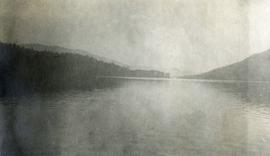
Christina Lake
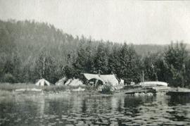
Camp at Texas Point, Christina Lake, in August
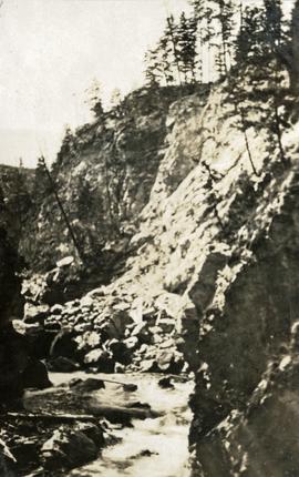
Low water in canyon
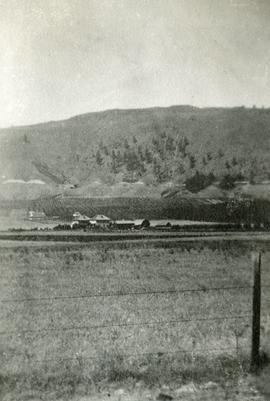
Doukhobor farm in the Kettle River Valley
Doukhobor farm in the Kettle River Valley
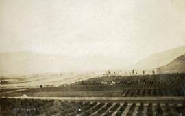
Doukhobor farm in the Kettle River Valley
Doukhobor farm in the Kettle River Valley
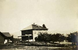
Bassette's ranch on Fourth of July Creek
Bassette's ranch on Fourth of July Creek
Bassette's ranch on Fourth of July Creek
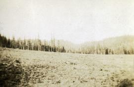
Headwaters of Pass Creek
Headwaters of Pass Creek
Headwaters of Pass Creek

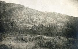
Open range at Pass Creek
North Fork, Kettle River