Aperçu avant impression Fermer
Affichage de 2347 résultats
Archival description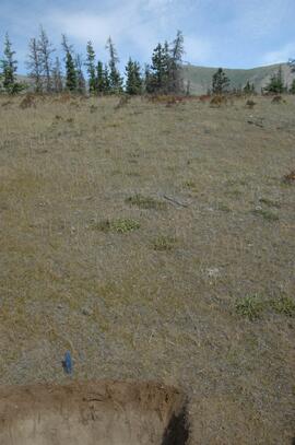
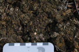
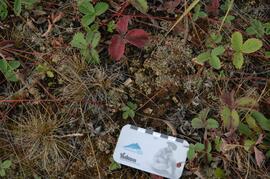
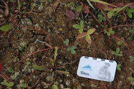
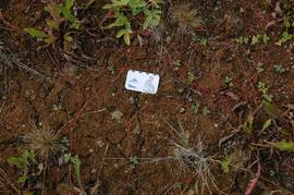
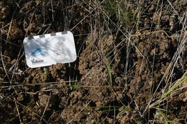
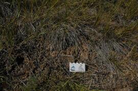
Kluane Lake soil at site Y08-41
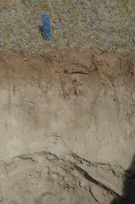
Kluane Lake soil at site Y08-41
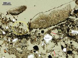
Klutlan Glacier soils study images: Thin section micrographs
Photographs
Photographs
"Creating Complicated Lives" - reviews
"Creating Complicated Lives" - reviews
Non-Australian/Canadian
Non-Australian/Canadian
Australia research materials
Australia research materials
Australian newspapers
Australian newspapers
"Paperback: a collection of black Australian writings" ed. Jack Davis et al. University of Queensland Press
"Paperback: a collection of black Australian writings" ed. Jack Davis et al. University of Queensland Press
Women in university science education in Canada - 1920s and 1930s
Women in university science education in Canada - 1920s and 1930s
Margaret Benston salary - archival research
Margaret Benston salary - archival research
St. Mary's University
St. Mary's University
Photographs
Photographs
ALRFS Annual Reports
ALRFS Annual Reports
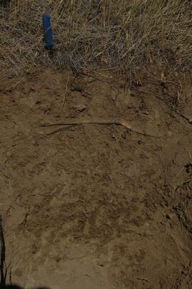
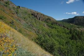
Grassland soils in the Boreal Cordillera Ecozone study images: Site and soil views
Grassland soils in the Boreal Cordillera Ecozone study images: Site and soil views
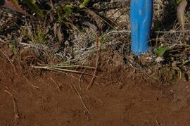
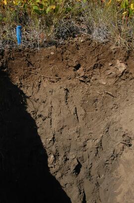
Stikine River valley soil at site BC08-06
Dorothy E. Smith
Dorothy E. Smith

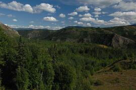
Lower Tuya River, facing downstream ~5 km above the Stikine River confluence
Untitled

Basalt flows, north side of Stikine River along Telegraph Creek Road
Untitled
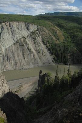
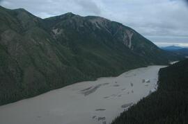
Stikine River, facing upstream ~8 km northeast of the Tuya River confluence
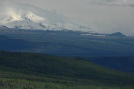
View west to Mt Edziza
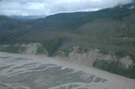
Tuya River, facing downstream ~10 km above the Stikine River confluence

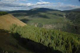
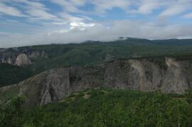
Forest-grassland mosaic, southeast side of Kluane Lake (north of Christmas Bay)

Forest-grassland mosaic, southeast side of Kluane Lake (north of Christmas Bay)
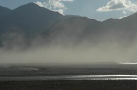
Dust storm over Slims River, upstream of Alaska Highway
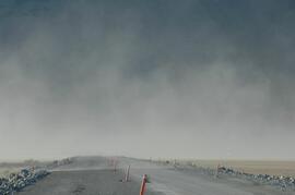
Dust storm over Slims River, obscuring Alaska Highway

Beetle-killed spruce forest, southeast side of Kluane Lake

Beetle-killed spruce forest and adjacent grassland, southeast side of Kluane Lake

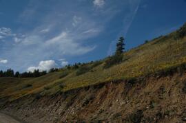
South facing grasslands, ~1 km on Mt Nansen Road
Tuya River valley soil crust at site BC07-01
Tuya River valley soil crust at site BC07-03
Tuya River valley soil crust at site BC07-03
Tuya River valley soil crust at site BC07-03
Tuya River valley soil at site BC07-03
Stikine River valley soil crust at site BC07-04
Stikine River valley soil crust at site BC07-04
Stikine River valley site BC07-04
Stikine River valley soil at site BC07-04
Stikine River valley site BC07-05
White River, facing north downstream
White River, west bank ~10 km above highway bridge

West side of Generc River, with thick tephra cover over glacial deposits
West side of Generc River

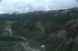
Debris-covered terminus of Klutlan Glacier

Debris-covered terminus of Klutlan Glacier

Debris-covered terminus of Klutlan Glacier
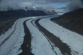
Klutlan Glacier ~20 km above terminus, facing upvalley

Debris-covered terminus of Klutlan Glacier