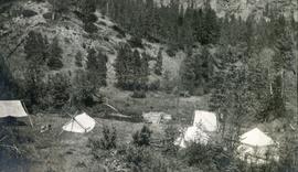
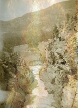
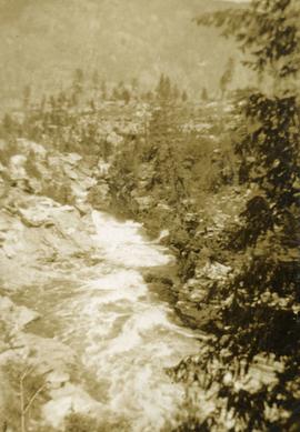
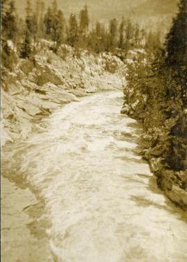
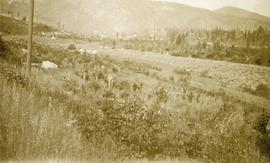
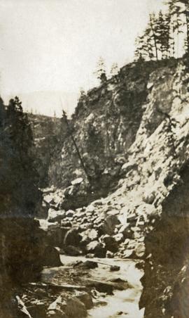
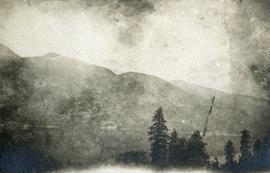
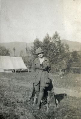
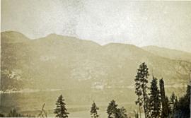
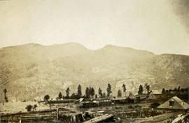
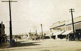
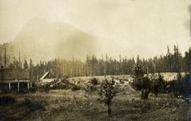
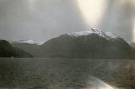
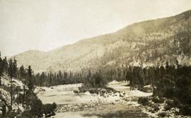
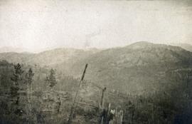
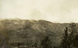
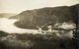
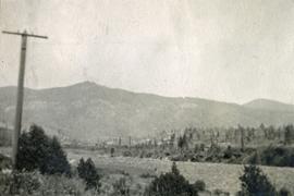
Photograph depicts a view from the railroad looking toward the river and mountain beyond at Billings siding.
Photograph depicts looking down on several canvas tents set near a creek. A sparsely forested hillside in the background.
Photograph depicts looking down on a canyon, steep cliffs on either side, a traffic bridge crosses the chasm. Near Cascade BC.
Photograph depicts Kettle River canyon near Cascade, BC.
Photograph depicts a lofty view of the Kettle river near Cascade, BC.
Photograph depicts a power dam near Cascade, BC.
Photograph depicts a view of a log jam on the Kettle River from Billings siding.
Photograph depicts McRae creek canyon.
Photograph depicts a foreground of forest looking toward Christina lake with mountains in the background.
Photograph depicts a young female standing beside a stump dressed in outdoor clothing, a tent is in the background.
Photograph depicts a view of the Kettle river with mountains in the background.
Photograph depicts a foreground of forest looking toward Christina lake with mountains in the background.
Photograph depicts a few scattered buildings and railway siding in the foreground, sparsely forested mountain in the background.
Photograph depicts a view of main street Grand Forks BC.
Photograph depicts a sparsely forested mountainside.
Photograph depicts looking north and south in North Fork from above Boulder creek.
Photograph depicts building on the left, forest and mountains in the background.
Photograph depicts a collapsed bridge on North Fork creek.
Photograph depicts two men standing on a wharf. A steamboat is docked, there are rails on the wharf and mountains in the distance.
Photograph depicts the bridge at Goodacre Pond in Beacon Hill in Victoria, BC. Duck in foreground.
Photograph depicts a view looking across an expanse of water toward treed mountains with snowy peaks.
Photograph depicts a waterfall and stream with rocky banks.
Photograph depicts a narrow ocean passage between two rocky points. There are snow peaked mountains in the distance.
Photograph depicts a dock on the left, water, low treed hills in the center of the photo and mountains in the distance.
Photograph depicts a man standing near a very large driftwood root.
Photograph depicts a stream bed surrounded by forest. One person is walking on the stream bed.
Photograph depicts a stream and forest.
Reproduced map on mylar depicts locations of elevations and benchmarks at the Aleza Lake forest.
Reproduced map on mylar depicts a proposed railway spur for the Aleza Lake Forest Experiment Station.
Original forest cover map shows timber history in the area of Giscome, BC.
Map is a photocopy reproduction of the Aleza Lake Experiment Forest working circle timber sale map that was included in the appendix to the 1957 Aleza working plan.
Map reproduction of the Sinclair Spruce Lumber Co. Ltd. T.S.H.L. A01848 C.P. 310 cutting area, likely in the Aleza Lake Research Forest.
Map reproduction depicts major areas of the Aleza Lake Experiment Forest.
Map is an uncontrolled mosaic of aerial photography of the Aleza Lake Research Forest, with a July 1955 date of the air photography. Duplicate exists.
Map is an uncontrolled mosaic of aerial photography of the Aleza Lake Research Forest, with a July 1990 date of the air photography.
Item is a hand-drawn map of a plot in the Aleza Lake Research Forest. Individual trees are marked and numbered.
Mylar map is a plot map of a research plot at the Aleza Lake Research Forest. Provides date the plot was established, the harvest history, the silviculture history, remeasurement history, and information about individual trees.
Slide depicts a black bear eating garbage by wooden outbuildings, possibly at the Aleza Lake Experiment Station.
Slide depicts a detonation in an area of cleared ground in a forested area, likely the Aleza Lake Experiment Station. Work may have been undertaken for roadbuilding activities at the Experiment Station.
Slide depicts a cleared area at the Aleza Lake Experiment Station with plant regeneration.