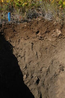
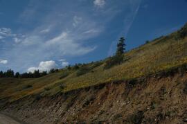
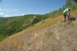
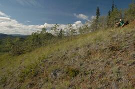
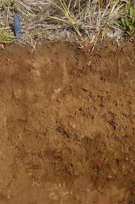
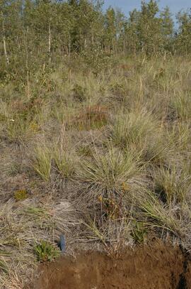
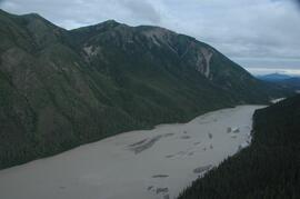
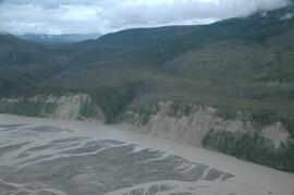
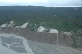
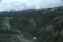
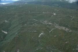
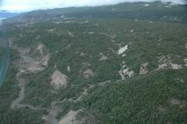
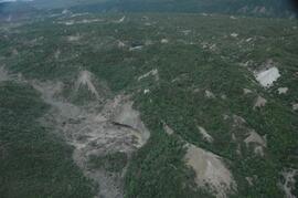
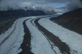
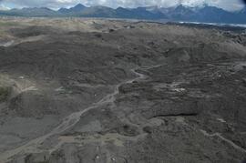
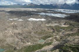
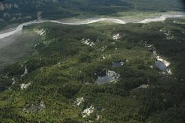
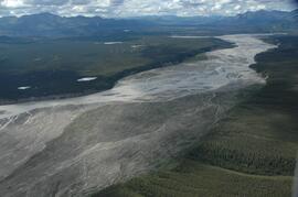
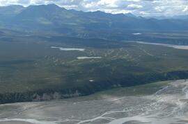
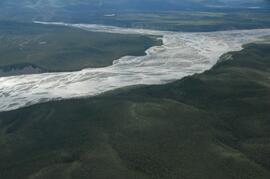
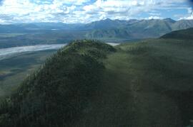
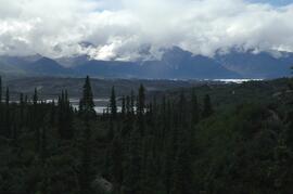
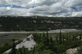
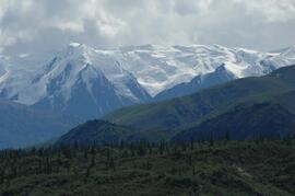
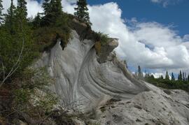
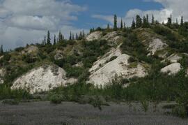
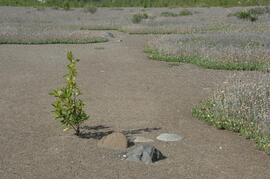
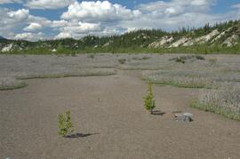
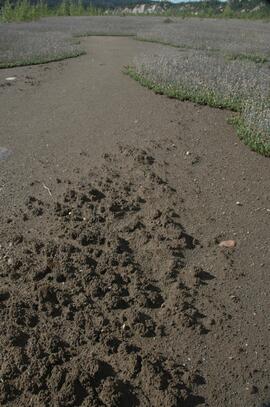
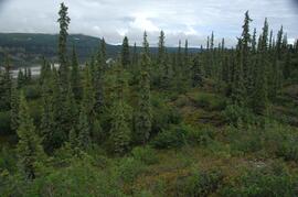
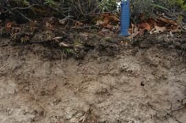
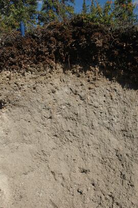
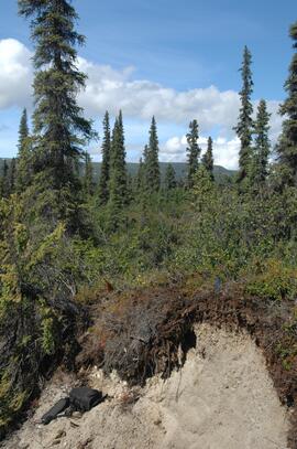
This image is part of the outbound sequence of aerial images obtained on the helicopter flight to the Klutlan Glacier study site. The sequence starts from the base camp at the White River crossing on the Alaska Highway and heads south, to a point just upvalley of the debris-covered terminus (approx. 10-15 km from Alaska border), and turning back north to the landing spot on the Generc River floodplain close to the study site (see Fig. 1 in paper).
This image is part of the outbound sequence of aerial images obtained on the helicopter flight to the Klutlan Glacier study site. The sequence starts from the base camp at the White River crossing on the Alaska Highway and heads south, to a point just upvalley of the debris-covered terminus (approx. 10-15 km from Alaska border), and turning back north to the landing spot on the Generc River floodplain close to the study site (see Fig. 1 in paper).
This image is part of the outbound sequence of aerial images obtained on the helicopter flight to the Klutlan Glacier study site. The sequence starts from the base camp at the White River crossing on the Alaska Highway and heads south, to a point just upvalley of the debris-covered terminus (approx. 10-15 km from Alaska border), and turning back north to the landing spot on the Generc River floodplain close to the study site (see Fig. 1 in paper).
This image is part of the outbound sequence of aerial images obtained on the helicopter flight to the Klutlan Glacier study site. The sequence starts from the base camp at the White River crossing on the Alaska Highway and heads south, to a point just upvalley of the debris-covered terminus (approx. 10-15 km from Alaska border), and turning back north to the landing spot on the Generc River floodplain close to the study site (see Fig. 1 in paper).
This image is part of the outbound sequence of aerial images obtained on the helicopter flight to the Klutlan Glacier study site. The sequence starts from the base camp at the White River crossing on the Alaska Highway and heads south, to a point just upvalley of the debris-covered terminus (approx. 10-15 km from Alaska border), and turning back north to the landing spot on the Generc River floodplain close to the study site (see Fig. 1 in paper).
This image is part of the outbound sequence of aerial images obtained on the helicopter flight to the Klutlan Glacier study site. The sequence starts from the base camp at the White River crossing on the Alaska Highway and heads south, to a point just upvalley of the debris-covered terminus (approx. 10-15 km from Alaska border), and turning back north to the landing spot on the Generc River floodplain close to the study site (see Fig. 1 in paper).
This image is part of the outbound sequence of aerial images obtained on the helicopter flight to the Klutlan Glacier study site. The sequence starts from the base camp at the White River crossing on the Alaska Highway and heads south, to a point just upvalley of the debris-covered terminus (approx. 10-15 km from Alaska border), and turning back north to the landing spot on the Generc River floodplain close to the study site (see Fig. 1 in paper).
This image is part of the outbound sequence of aerial images obtained on the helicopter flight to the Klutlan Glacier study site. The sequence starts from the base camp at the White River crossing on the Alaska Highway and heads south, to a point just upvalley of the debris-covered terminus (approx. 10-15 km from Alaska border), and turning back north to the landing spot on the Generc River floodplain close to the study site (see Fig. 1 in paper).
This image is part of the outbound sequence of aerial images obtained on the helicopter flight to the Klutlan Glacier study site. The sequence starts from the base camp at the White River crossing on the Alaska Highway and heads south, to a point just upvalley of the debris-covered terminus (approx. 10-15 km from Alaska border), and turning back north to the landing spot on the Generc River floodplain close to the study site (see Fig. 1 in paper).
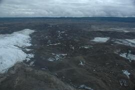
This image is part of the return trip sequence of aerial images obtained on the helicopter flight leaving the Klutlan Glacier study site. On the return leg at the end of the day, the flight initially went upvalley to pick up another party.
This image is part of the return trip sequence of aerial images obtained on the helicopter flight leaving the Klutlan Glacier study site. On the return leg at the end of the day, the flight initially went upvalley to pick up another party.
This image is part of the return trip sequence of aerial images obtained on the helicopter flight leaving the Klutlan Glacier study site. On the return leg at the end of the day, the flight initially went upvalley to pick up another party.
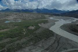
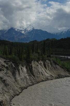
This image is part of the return trip sequence of aerial images obtained on the helicopter flight leaving the Klutlan Glacier study site. On the return leg at the end of the day, the flight initially went upvalley to pick up another party. This image was taken after the helicopter turned north to return to base camp.
This image is part of the return trip sequence of aerial images obtained on the helicopter flight leaving the Klutlan Glacier study site. On the return leg at the end of the day, the flight initially went upvalley to pick up another party. This image was taken after the helicopter turned north to return to base camp.
This image is part of the return trip sequence of aerial images obtained on the helicopter flight leaving the Klutlan Glacier study site. On the return leg at the end of the day, the flight initially went upvalley to pick up another party. This image was taken after the helicopter turned north to return to base camp.
This image is part of the return trip sequence of aerial images obtained on the helicopter flight leaving the Klutlan Glacier study site. On the return leg at the end of the day, the flight initially went upvalley to pick up another party. This image was taken after the helicopter turned north to return to base camp.
This image is part of the return trip sequence of aerial images obtained on the helicopter flight leaving the Klutlan Glacier study site. On the return leg at the end of the day, the flight initially went upvalley to pick up another party. This image was taken after the helicopter turned north to return to base camp.
Photograph depicts large square model of the new mill building that was built at the Cassiar plant site in 1970. Model is displayed on green material set on a platform in snowy area. Machinery modeled inside the structure is colour-coded. Mountain in background.
Photograph depicts what appears to be a small model of projected bench mining on McDame mountain. The model stands outdoors on small wood table, car partially visible in background. Annotation printed in border on verso of photograph: "1955."
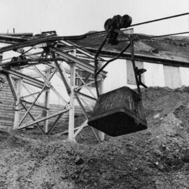
Photograph depicts bucket hanging from tramline in foreground. Support tower stands in midground in front of station building. Another building can be seen at top of mountain in background. Handwritten annotation on recto of photograph: "INCOMING BUCKET #1 STATION". Photograph was glued to cardboard backing with the annotation: "1962".
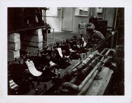
Photograph depicts an unidentified individual wearing a welding helmet, and kneeling behind large bearing cups of one of the Ruston Hornsby diesel engines that turned the generators in the power house on the Cassiar plant. Door, bulletin board, and miscellaneous supplies in background.
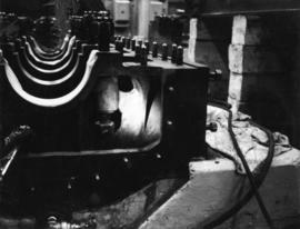
Photograph depicts the large bearing cups of one of the Ruston Hornsby diesel engines that turned the generators in the power house on the Cassiar plant. Engine believed to be under repair. Electric panels in background.
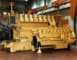
Photograph depicts large Caterpillar engine in large shop with sheeted walls and brick floor. Accompanying note reads: "MTCE 4-01 (b) Cat 3612 Engine".
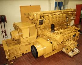
Photograph depicts large Caterpillar engine against painted brick wall in building with brick floor. Miscellaneous equipment in background. Accompanying note reads: "MTCE 4-01 (b) Cat 3612 Engine".
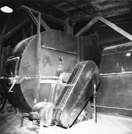
Photograph depicts a fan from the air system used to transport fibre throughout the mill system. It is believed that this photograph was taken on the top floor of the mill. Handwritten annotation on verso of photograph: "1961".
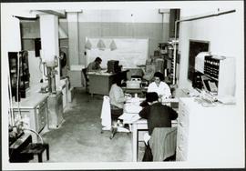
Photograph depicts man [possibly Paul Clark?] seated with two women at table in lab. Second man [possibly Lab Superintendent Ross Duddy?] seated at table in background. Miscellaneous equipment and supplies throughout. Handwritten annotation on recto of photograph: "Paul Clark / [Odett?] Cario".
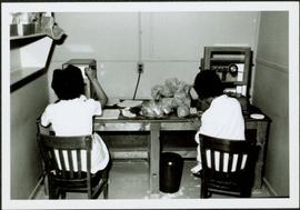
Photograph depicts two women seated at lab table, facing away from photographer. Woman on right believed to be combing asbestos fibres to determine length and grade. Woman on left believed to be conducting standard lab tests (weighing filters, test tubes, or fibres).
Photograph depicts group of twenty-four men standing on front steps of main office building. Handwritten annotations on recto of photograph: "JULIEN ST. GEORGES / CHARLIE GANDER / HANS VELTMEYER / GEORGE TROWSDALE / BOB LOVETT / KARL SHULTZ / FRANK CLEMENTS [i.e. Kliment?] / GEOFF PARKER / AL FLANNAGIN [i.e. Flanagan?] / CHARLIE BRONSON / JACK THORNICROFT / GORDON EDWARDS / ANDRE BEGUIN / DOC NAVIN / VIC SERICOSKI [sic?] / RENE PASIAUD / BILL PLUMB / HEWETT / LOTHAR TISCHLER". Information in above annotation supplemented with insight from individuals who contributed to Northern BC Archives Facebook Photo ID Project, contact archivist for more information in research file pertaining to item 2000.1.1.3.19.75. See item 2000.1.1.3.19.73 for similar image with more precise annotations.
