Print preview Close
Showing 796 results
Archival description
Nostoc Crust (Kluane NP, Lower Slims)
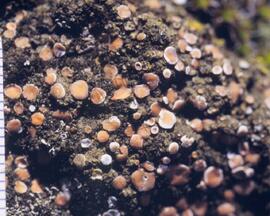
Cryptobiotic soil crust close-up
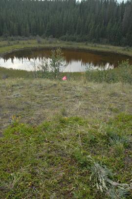
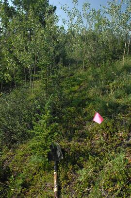
Y09-24 grassland transect from crest
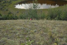
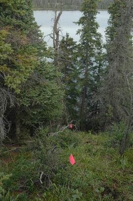
Y09-24 grassland transect from G5
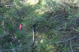
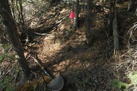
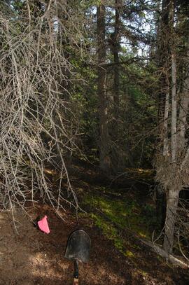
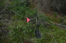
Y09-24-01 site view 2
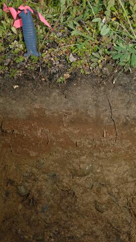
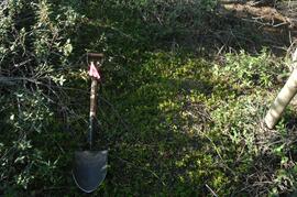
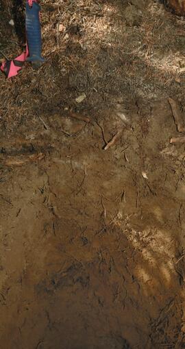
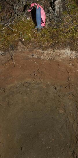
Y09-24-02 F5 profile
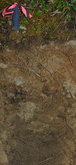
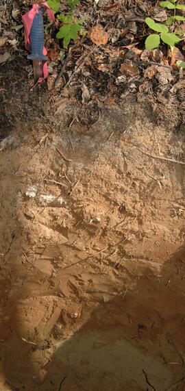
Y09-24-05 F20 profile
Y09-27 site view from crest
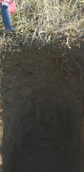
Y09-27-03 profile
Y09-27-06 G25 surface
Y09-27-08 F10 site view
Y09-27-09 F15 surface
Y09-27-11 F25 site view
Y09-27-11 F25 surface
Y09-27-11 profile
Y09-28 site view downhill to G40
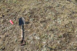
Y09-28-01 crest surface
Y09-28-05 profile

Y09-28-07 profile
Y09-28-09 F30 site view
Y09-28-10 F40 surface
Y09-28-10 profile
Y09-24 F10 surface
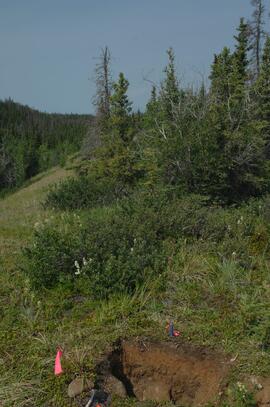
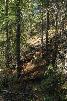
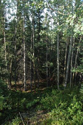
Y09-24 forest transect from F5
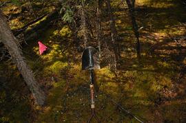
Y09-24 G10 surface
Hammet 1
Nevis 2
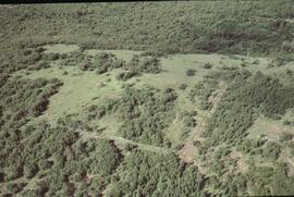
Hammett 2 aerial view
Withrow 1 site

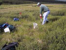
Forest Research Note #PG-12-1: "Experimental Project 660 - 30-year Progress Report - Buckhorn Installation"
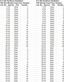
Experimental Project (EP) 660 data
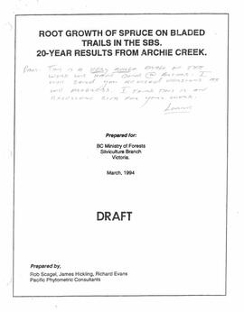
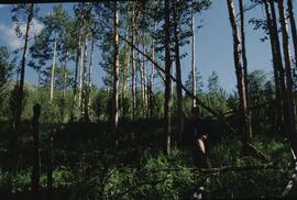
"Root Growth of Spruce on Bladed Trails in the SBS: 20-year results from Archie Creek"
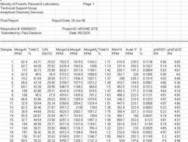
Archie Creek site data
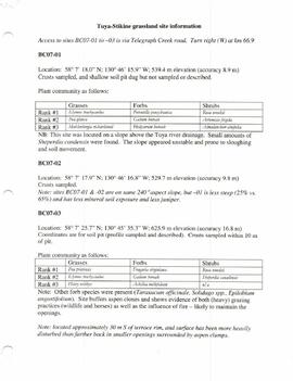
Tuya-Stikine grassland site information
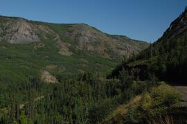
Lower Tuya River, ~5 km above the Stikine River confluence
Lower Tuya River, facing upstream ~5 km above the Stikine River confluence
Untitled
Untitled
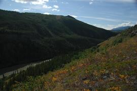
Stikine River, facing upstream ~8 km northeast of Telegraph Creek
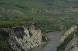
Stikine River, facing upstream ~8 km northeast of Telegraph Creek
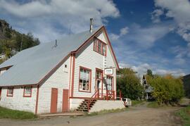
Stikine Riversong General Store at Telegraph Creek
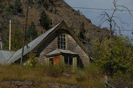
Building in Telegraph Creek
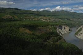
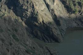
Stikine River, facing upstream ~1.5 km downstream from site BC07-05
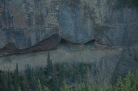
Interbedded basalt flows and glacial fluvial deposits exposed on south side of Stikine River
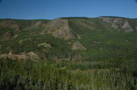
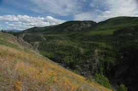
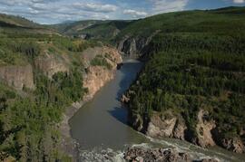
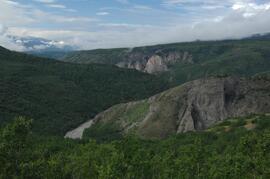
Stikine canyon
Tuya River, facing downstream ~10 km above the Stikine River confluence
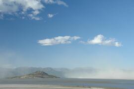
Dust storm over Slims River delta
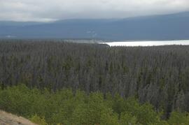
Beetle-killed spruce forest, southeast side of Kluane Lake
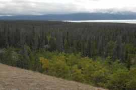
Beetle-killed spruce forest, southeast side of Kluane Lake
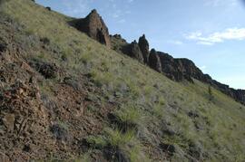
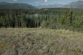
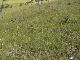
South facing grasslands, ~1 km on Mt Nansen Road