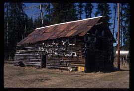
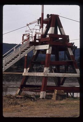
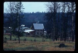
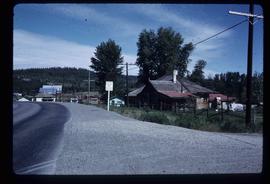
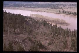
Image depicts a road located somewhere near Birken, B.C.
Image depicts the Place Glacier.
Image depicts an unknown individual at the Place Glacier.
Image depicts the mostly frozen Place Creek Falls.
Image depicts a wood cabin with antlers somewhere in Mud River, B.C.
Image depicts the Mud River.
Image depicts a rail road bridge over the Mud River.
Image possibly depicts the Fraser River from Highway 97 near Quesnel, B.C.
Image depicts a stretch of land from Highway 97 near Williams Lake, B.C.
Image depicts a number of buildings at an uncertain location; the slide labels the older building in the image as potentially being the "original road house."
Image depicts the Gibraltar mine site north of Williams Lake, B.C.
Image depicts a number of workers putting in blasting powder at the Gibraltar mine site north of Williams Lake, B.C.
Image depicts the BCR tracks passing through a mill somewhere near the 100 Mile.
Image depicts an aerial view of Williams Lake, B.C.
Image depicts an aerial view of some scenery near Williams Lake, B.C. The highway and BCR tracks are visible among the trees.
Image depicts an aerial view of the Fraser River near Soda Creek, B.C.
Image depicts an aerial view of the Gibraltar mine site's pits and waste dumps, north of Williams Lake, B.C.
Image depicts the cutbanks of the Fraser River at Soda Creek, B.C.
Image depicts the a flock of ducks on Big Bar Lake north of Clinton, B.C..
Image depicts a section of disturbed ground at an unknown location.
Image depicts a structure that appears to be a type of zipline, ferry platform at an unknown location.
Image depicts the Fraser Valley, looking north, possibly from Marguerite, B.C.
Image depicts the interior of a barn at a dairy farm located somewhere near Quesnel, B.C. Numerous unknown individuals are present.
Image depicts numerous pieces of machinery in the interior of a building at a dairy farm, located somewhere near Quesnel, B.C. Several unknown individuals are present.
Image depicts a formation of rock; presumably solidified lava, as the slide is simply labelled "lava." The location of the image is uncertain.
Image depicts a river and a hillside at an unknown location.
Image depicts a bridge at Soda Creek, B.C. There are numerous unknown individuals present.
Image depicts 108 Mile Ranch, B.C.
Image depicts rail road tracks at an uncertain location.
Image depicts a farm at an uncertain location.
Image depicts what appears to be a sawmill at 100 Mile House, B.C.
Image depicts 100 Mile House, B.C.
Image depicts 153 Mile House.
Image depicts the Bohanon House in Quesnel, B.C.
Image depicts the Dunlevy Creek area somewhere near Dawson Creek, B.C. The slide is simply labelled "Dunlevy irrigation" for uncertain reasons.
Image depicts an old barn located somewhere near Dunlevy Creek in the Dawson Creek area.
Image depicts an old barn located at a dairy farm somewhere near Dunlevy Creek in the Dawson Creek area.
Image depicts the Hudson Bay Store in Quesnel, B.C.
Image depicts the Stellako River.
Image depicts a church located near Mapes, B.C.
Image depicts the Bulkley River near Moricetown, B.C.
Image depicts a few old buildings, as well as several unknown individuals somewhere in Moricetown, B.C.
Image depicts a beaver dam somewhere in Hazleton, B.C.
Image depicts an unknown individual leaning against a sign at the Stewart Access Road which warns travellers to pack several days of food. Located in Hazelton, B.C.
Image depicts numerous totem poles in Kispiox, B.C.
Image depicts Babine Lake.