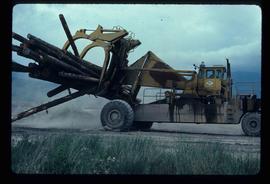
Image depicts a piece of heavy machinery lifting numerous logs. It is likely located in Prince George, B.C.
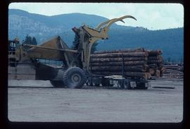
Image depicts a piece of heavy machinery lifting numerous logs off the back of a logging truck. It is likely located in Prince George, B.C.
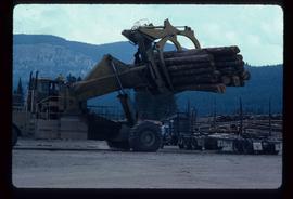
Image depicts a piece of heavy machinery lifting numerous logs off the back of a logging truck. It is likely located in Prince George, B.C.
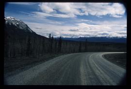
Image depicts what is possibly Atlin Road. Numerous mountains are visible in the distance.
Image depicts a small section of the Alaska Highway somewhere near Whitehorse, Y.T. The slide also appears to be labelled "army washing" for unknown reasons.
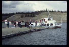
Image depicts numerous unidentified individuals getting off a boat which bears the name "Schwatka." It is located somewhere in Miles Canyon.
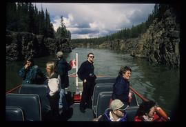
Image depicts several unidentified individuals on a boat in the Miles Canyon near Whitehorse Y.T.
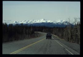
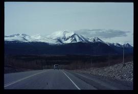
Image depicts a van on a highway with mountains in the distance; the location is uncertain, though it is possibly along the Alaska Highway.
Image depicts a van on a highway with mountains in the distance; the location is uncertain, though it is possibly along the Alaska Highway.
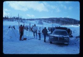
Image depicts a vehicle and a large group of skiers somewhere on Tabor Mountain in Prince George, B.C.
File contains slides depicting images of the Grand Trunk Pacific railway roundhouse in Prince George, B.C.
File contains slides depicting the remains of the old Miworth Ferry in Miworth, B.C.
File contains slides depicting Highway 16 West, from Isle Pierre to Hazelton.
File contains slides depicting Highway 97 South.
File contains slides depicting places in and around Prince Rupert, B.C.
File contains slides depicting places along the east line of the BC Railway. Some are duplicates of the images found in the "East Line, Dome Creek - Lamming Mills - Misc" file.
File contains slides depicting places along the east line of the BC Railway.
File contains slides depicting locations along the White Pass railway through Alaska, British Columbia, and the Yukon Territories.
File contains slides depicting places along Route 80 in the USA.
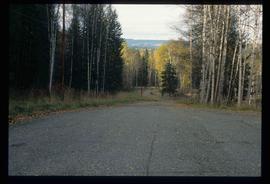
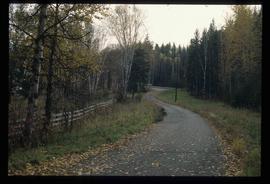
Image depicts a road near the Ginter House in Prince George, B.C.
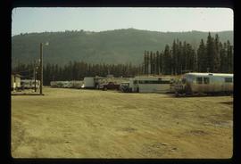
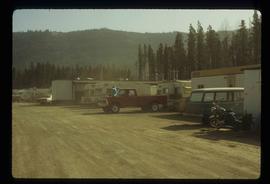
Image depicts numerous campers and other vehicles in Tumbler Ridge, B.C.
Image depicts a road near the Ginter House in Prince George, B.C.
Image depicts numerous campers and other vehicles in Tumbler Ridge, B.C.
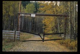
Image depicts a private driveway, most likely leading to the Ginter Property in Prince George, B.C.
Image depicts a road somewhere in Tumbler Ridge, B.C. There are three bush planes in the image.
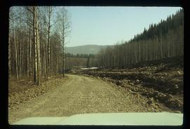
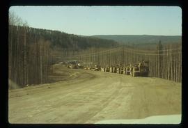
Image depicts a road somewhere in Tumbler Ridge, B.C. There are numerous construction vehicles present.
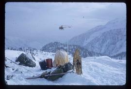
Image depicts a helicopter flying over the Woolsey Glacier.
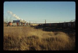
Image depicts two trains in Prince George, B.C.
Image depicts the intersection of 15th Ave and Highway 97 in Prince George, B.C.
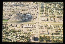
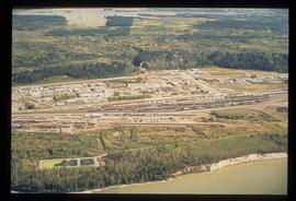
Image depicts an aerial view of the BC Rail, in Prince George, B.C. It is now known as CN Rail.
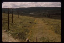
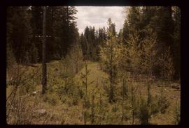
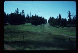
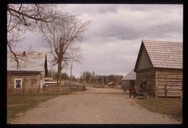
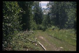
Image depicts the old, grown-over Cariboo Road at an uncertain location.
Image depicts the old, grown-over Cariboo Road at an uncertain location.
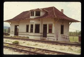
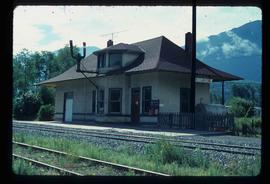
Image depicts the old Goat River Train Station in Goat River, B.C.
Image depicts the old Giscome Train Station in Giscome, B.C. It was demolished between 1976 and 1977.
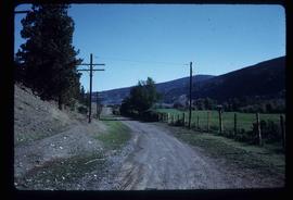
Image depicts the Cariboo Road south of Williams Lake.
Image depicts the Cariboo Road at Hat Creek Ranch, near Highway 99 on the way to Lillooet.
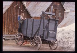
Image depicts a freight wagon in Barkerville.
Image depicts the Cariboo Road passing through the Cottonwood House Historic Site.
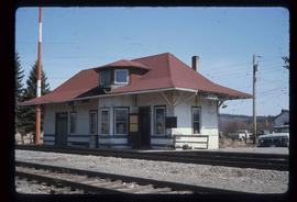
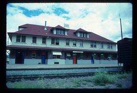
Image depicts the CN Rail station located in Kitwanga, B.C.
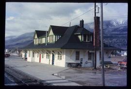
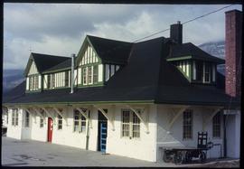
Image depicts the CN rail station in Smithers B.C.
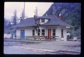
Image depicts the Kwinitsa CNR station in Kwinitsa, along the Skeena River.
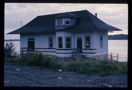
Image depicts the Kwinitsa CNR station, which is Prince Rupert's railway museum.
Image depicts the McBride CNR station.
Image depicts the McBride CNR station.
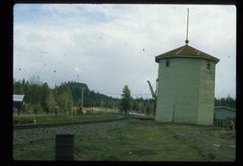
Image depicts a train track and several buildings in an unknown location.
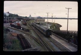
Image depicts the rail yards in Prince Rupert.
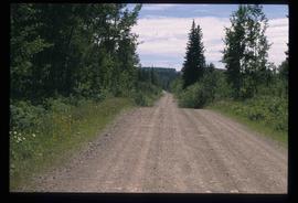
Image depicts Bellos Road, most likely in Red Rock, B.C.
Image depicts Bellos Road, most likely in Red Rock, B.C.
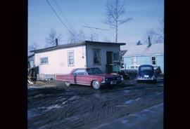
Image depicts a house in Island Cache. There are several cars parked outside it.
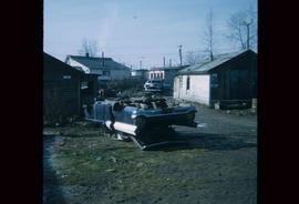
Image depicts a damaged, upturned car in Island Cache.
