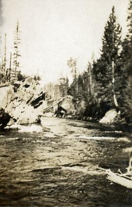
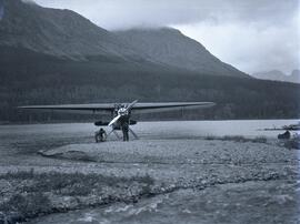
Photograph depicts a creek with banks on either side.
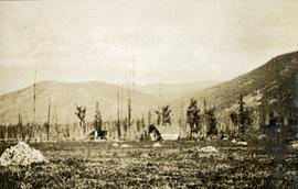
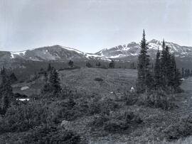
Photograph depicts a field in the foreground, trees and mountains in the distance.
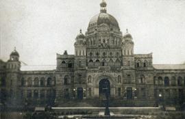
Photograph depicts the British Columbia Parliament Buildings in Victoria, BC.
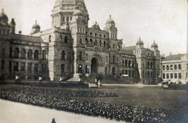
Photograph depicts the British Columbia Parliament Buildings in Victoria, BC.
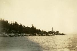
Photograph depicts a view from the ocean toward a lighthouse on a rocky ocean shore point. There are a few building near the lighthouse.
Subseries consists of material created and collected by Kent Sedgwick during his involvement with the Alexander Mackenzie Heritage Trail Association. Sedgwick was the treasurer and later the president of the Alexander Mackenzie Voyageur Route Association. The association was formed to create the first official heritage trail in British Columbia. The trail is now called the Nuxalk-Carrier Grease Trail and is part of the route across Canada followed by Alexander Mackenzie in 1789 to 1793. The association aided in having the route recognized by each provincial government and the federal government. The files primarily consist of management plans, summary documents, booklets, and pamphlets created by the association, the provincial government, and Parks Canada.
File contains a spiral bound book titled "Monumental Transformation: The Story of Prince George's National Historic Monument" written by Kent Sedgwick and published by CNC Press (2009).
File consists of photographs depicting the Salmon River Portage. Includes depictions of potential past mill sites, overgrown fields, and derelict buildings.
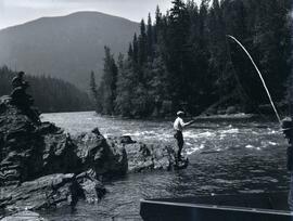
Photograph depicts men fishing off a rocky point between the Omineca and Osilinka Rivers.
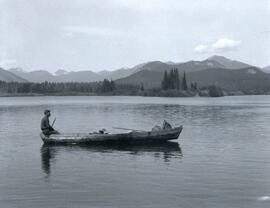
Photograph depicts Clarence Waldof sitting on the bow end of a wooden boat floating on End Lake off the Osilinka River with a forested landscape along the shoreline. A mountain range is visible in the background of the photo.
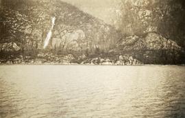
Photograph depicts a waterfall on a rocky mountainside, an expanse of ocean in the foreground.
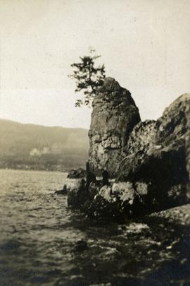
Photograph depicts Siwash Rock in Stanley Park British Columbia.
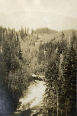
Photograph depicts a view from above, looking down on a stream with forest on both sides.
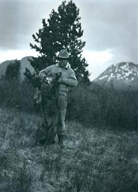
Photograph depicts a man (Emil Bronlund) holding up a dead wolf standing in a grass covered landscape in front of a tree with a mountain in the far-right background.
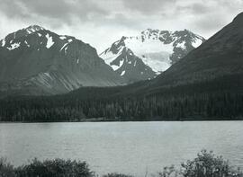
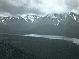
Photograph depicts Sustut Lake with forested shoreline on the far edge of the lake and a snow-covered mountain range in the background.
Photograph depicts a wide view of Sustut Lake from the west with a heavily forested area on both sides of the lake with a snow-covered mountain range in the background.
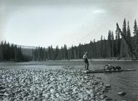
Photograph depicts a man steering a wooden raft loaded with two bag through a shallow section of Finlay River that runs along a forested shoreline.
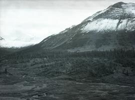
Photograph depicts a forested area in front of the base of the north side of Drybrough Mountain.
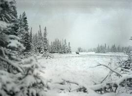
Photograph depicts a small caribou herd stopped in a snow covered clearing beside a forest a Drybrough Mountain.
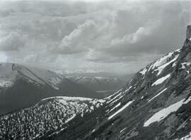
Photograph depicts snow-capped mountain ranges with heavily forested area at the base of the mountains.
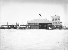
Photograph depicts an exterior view of a hangar at the Edmonton Airport surrounded by four airplanes and three automobiles.
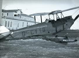
Photograph depicts Emil Bronlund in the second seat of G-CYYG De Havilland D.H. 60 Moth aircraft at the Edmonton Airport. This plane was operated by the Edmonton Aero Club.
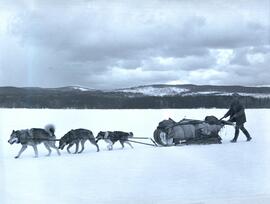
Photograph depicts three dogs pulling a loaded sled being steered by a man over a flat, snow-covered environment with a forested area in the distance.
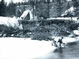
Photograph depicts a man (H. Porter) gold panning in the river in front of a tent in a forested area.
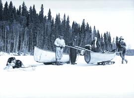
Photograph depicts Emil Bronlund, H. Witter, and rescue party alongside two canoes on sleds. A dog is harnessed to one of the sleds. The searching party consisted of E.H. Burden, C.H. Van Somer and Clarence Waldof from Prince George.
The following Prince George Citizen newspaper articles describe the incident:
“Searching Party Sets Out to Look for Emil Bronlund”
Prince George Citizen, April 21, 1932, p. 5
A searching party consisting of E.H. Burden, C.H. Van Somer and Clarence Waldof started out on Tuesday afternoon to look for Emil Bronlund, an engineer connected with the Consolidated Company who has been associated with a local syndicate in prospecting at the headwaters of the McLeod river. According to arrangements made Mr. Bronlund was to have arrived in Prince George last week, coming out by way of Fort McLeod, but in the absence of means of communication it was impossible to learn whether he started or whether he was detained in the vicinity of the area being prospected. Mr. Burden had the broadcasting station CKCD send out a message to J.E. McIntrye, in charge of the Hudson’s Bay post at McLeod, advising that Mr. Bronlund failed to arrive here, and suggesting a search if the missing man had passed the post.
The search party from the end will travel by canoe from Summit Lake to Davie Lake, from which point it will mush over the trail to McLeod. It may be several days before word is received from it.
“Emil Bronlund was held up by bad weather”
Prince George Citizen, April 28, 1932, p. 1
Emil Bronlund, whose delay on the trip from the headwaters of McLeod River occasioned his friends in this city much uneasiness, reached Prince George on Saturday afternoon, accompanied by E.H. Burden and Henry Waldof, who started out some days ago to search for him. Messrs. Burden and Waldof had difficult going. Summit Lake is still frozen, and it was necessary for them on Thursday morning to drag their canoe over four miles of ice until they could strike open water in the Crooked River. Davie Lake was also covered with ice, and they were dragging their canoe over this when they came upon Bronlund and Ham Witter, making their way south in the same tedious way, dragging their boat over the ice. Bronlund explained he had been held up at Fort McLeod on his way out as it was impossible to travel. There was about a foot of water on the ice, and the trail being close to the water level it would have been foolhardy to attempt to come through.
It was at McLeod that Bronlund fell in with Witter. The latter had been trapping in the Nation River section but had been taken ill. He was delirious and unable to eat, and his boys decided to bring him out as far as the fort, and having the patient strapped to a toboggan. Witter improved rapidly at the fort and when Bronlund started south on Wednesday morning he decided to accompany him. They had been on the trail two days when they met Burden and Waldof.
The local syndicate, with which Bronlund is associated, has made a number of locations on the headwaters of McLeod River, and is preparing to do further prospecting to determine more fully the probable values contained in the gravels.
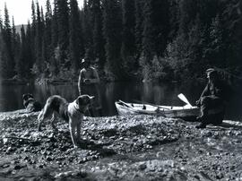
Photograph depicts two men and two dogs resting near a wooden rowboat stopped along the shoreline of upper Osilinka River near Swiggums mining claims.
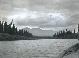
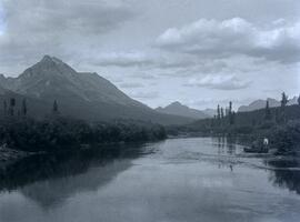
Photograph depicts a wide view of the Omineca River with a man standing on a boat in the right corner of the image. In the background the river a forested shoreline and mountain range are visible.
Photograph depicts three men sitting in a circle in a clear area near a sparsely forested area in front of a snowy mountain range. The location of the photograph is noted to be at Duck Creek at Copper Mountain; however, those names may no longer be in current use. Location is assumed to be approximately 55.979291, -125.208415 near what is currently named Wasi Peak.
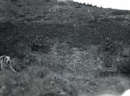
Photograph depicts two men, Bill Martin and Clarence Waldof, picking blueberries along a hillside surrounded by their bags and a dog.
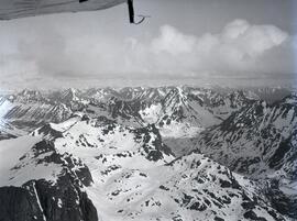
Photograph depicts a northwest aerial view from Sustut River of a snow-covered mountain range toward Thutade Lake.
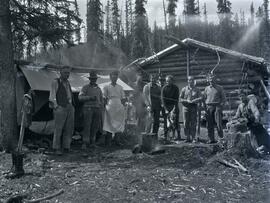
Photograph depicts Henry Cleburn Giegerich and Emil Bronlund with Swannell's party posed in front of Jack Duncan's cabin near Thutade Lake.
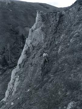
Photograph depicts a man standing beside a discovery vein along a rocky cliff. The location is believed to be the east side of Duncan Mountain, east of the north end of Thutade Lake, some 140 miles northeast of Stewart. The Cairn group of 12 mining claims was located by Cominco Ltd. in 1931.
Photograph depicts a view of the southeast slope of Duncan Mountain near Thutade Lake.
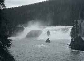
Photograph depicts a wide waterfall (Finlay Falls) located above Thutade Lake with a forest in the background.
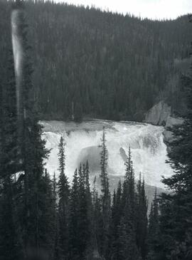
Photograph depicts a wide waterfall (Finlay Falls) seen through a tree covered landscape.
Photograph depicts a man stopped with a canoe on the shore of a river located near Moosehorn Creek. Several mountains are visible from the background of the image.
Photograph depicts a man stopped with a canoe on the shore of a river located on an inlet in front of a forested area with two mountains visible in the background.
Photograph depicts two men standing in front of and CF-AAM aircraft in front of a lake with a forested mountain range in the background.
A collection of photographs of the early exploration exhibitions in the asbestos mountains area.
Photograph of Cassiar's Chief Geologist Bill Plumb who led many exhibitions for the purposes of Cassiar's outside exploration endeavors. Various photos in this collection depict Bill on some of these exhibitions.
This map depicts the generalized pit layout and estimated waste extraction areas for 6290 bench for the month of October and November. Extraction dates as well as total unbroken tonnages are included within certain portions of the plan. Annotated details include numerical bench markers, extraction dates, total tonnages to be extracted and approximate waste tonnage calculations for October. The hand drawn plan consists of solid and broken lines drawn with red, green, orange and lead pencils as well as black ink.
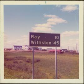
Item is a photograph of a road sign in North Dakota stating the distance to Ray and Williston.
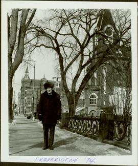
Item is a photograph of Ray Williston in Fredericton, NB.
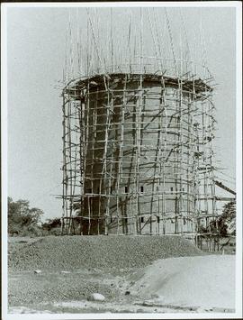
Item is a photograph of a brick tower with scaffolding around it.
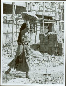
Item is a photograph of a woman carrying a basket on her head in front of a construction site.
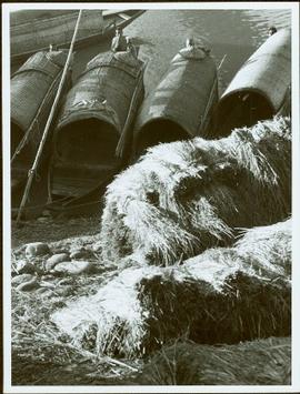
Item is a photograph of boats docked on the shore behind piles of grain or straw.
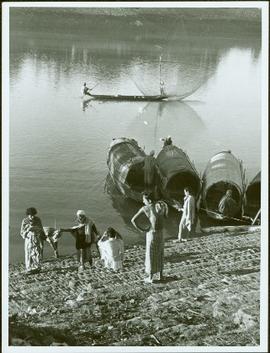
Item is a photograph of a fishing boat with the net deployed with other boats and people on shore.
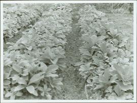
Item is a photograph of rows of plants in a garden.
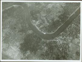
Item is a photograph of a river bend and the surrounding country taken from the air.
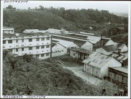
Item is a photograph of the Chittagong Research Institute buildings.
