2012.13.1.87.029
·
Stuk
·
[between 1975 and 1995]
Part of J. Kent Sedgwick fonds
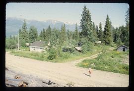
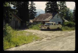
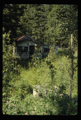
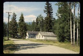
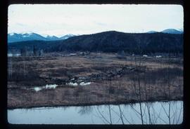
Image depicts several old shacks and some railway tracks running through Longworth, B.C.