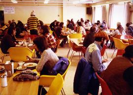
2000.1.1.3.19.067
·
Item
·
1965
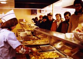
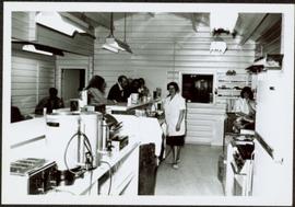
Parte de Cassiar Asbestos Corporation Ltd. fonds
Photograph depicts Hilde Voss (see item 2000.1.1.3.19.68) wearing white shirt, with unknown woman in snackbar. Counter and other individuals on left, cooking supplies in foreground. Interior window in background connected snackbar to poolroom. Eventually this snackbar was moved to poolroom, and liquor store located in original snackbar.