2023.2.2.8.20.19
·
Item
·
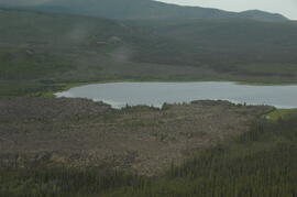
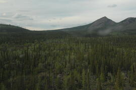
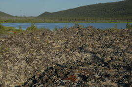
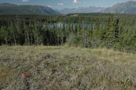
2009
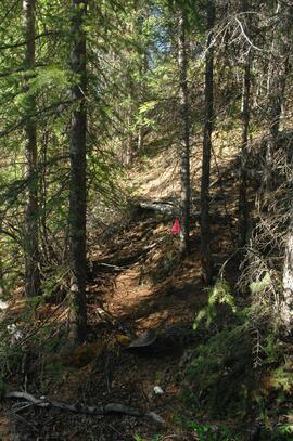
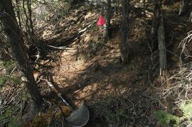
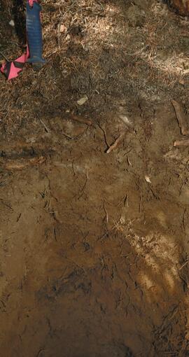
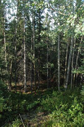
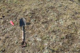
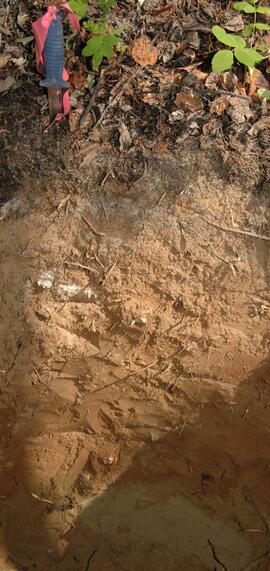
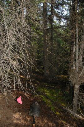
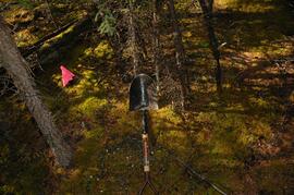
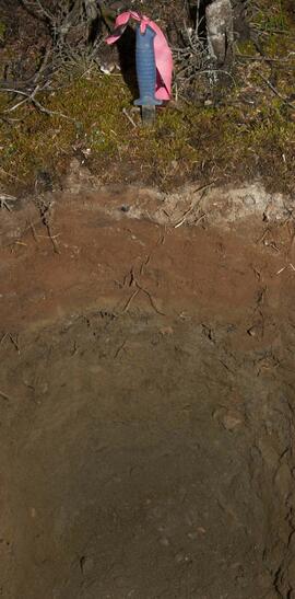
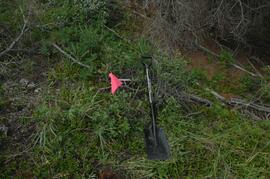
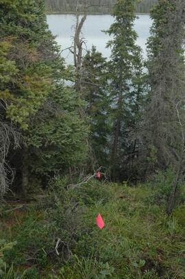
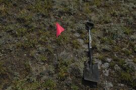
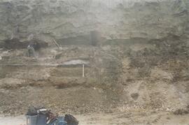
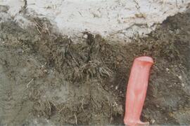
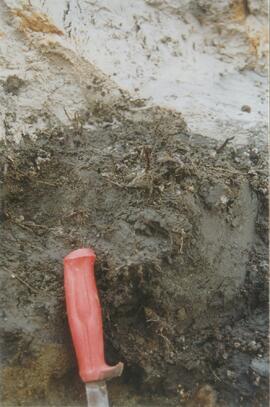
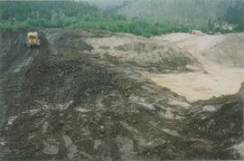
Parte de Dr. Paul Sanborn fonds
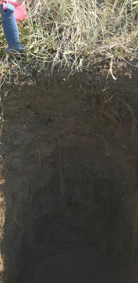
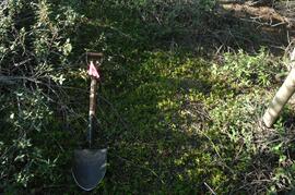
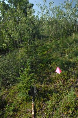
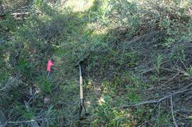
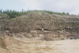
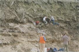
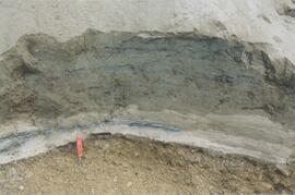
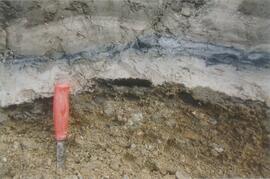
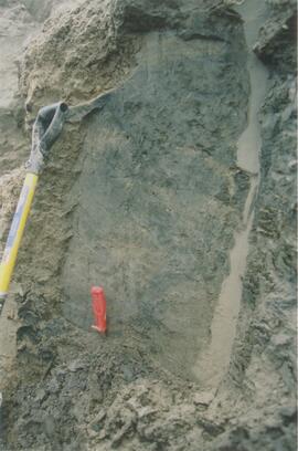
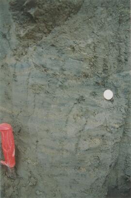
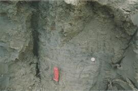
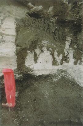
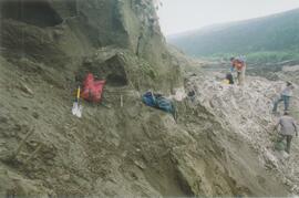
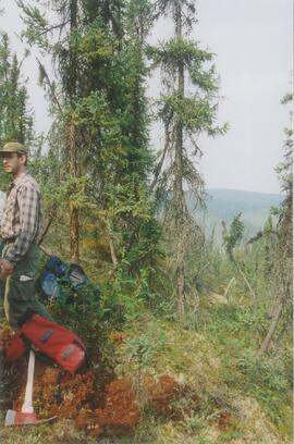
Photograph depicts a Kluane Lake transect 2 location.