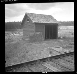
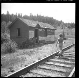
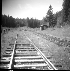
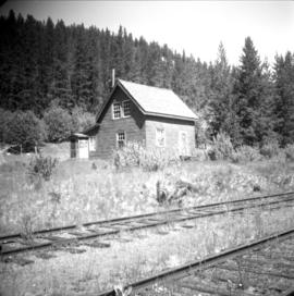
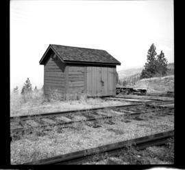
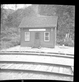
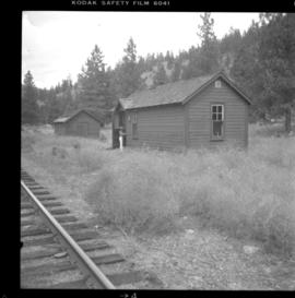
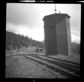
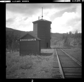
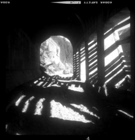
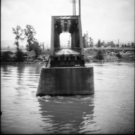
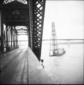
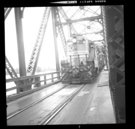
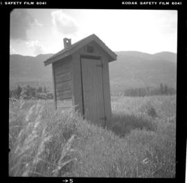
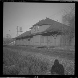
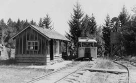
2013.6.36.1.027.01
·
Stuk
·
[23 June 1979]
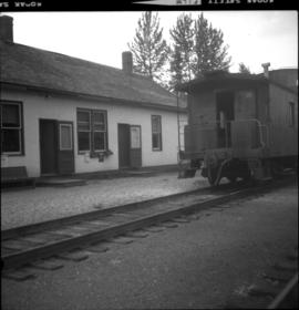
Part of David Davies Railway Collection
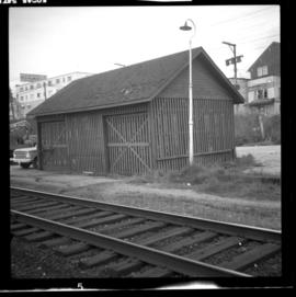
Photograph depicts a track shed about 1 mile south of Beaverdell or at about mile 43.25 on the CPR line in the Carmi Subdivision. Despite the open doors and ease of access, it was the only hut on the line found to contain track materials and correspondence. It retained 50 memos addressed to the Section Foreman [at Beaverdell?].