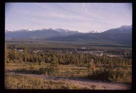
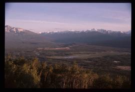
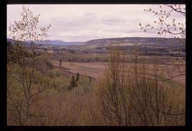
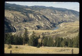
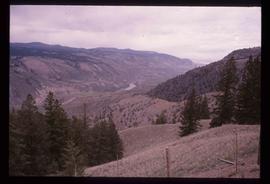
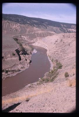
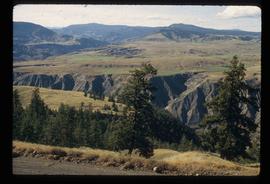
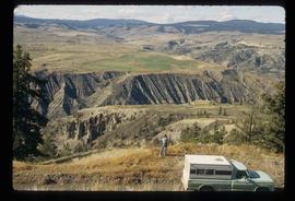
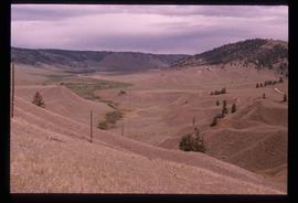
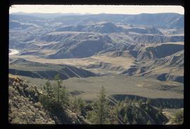
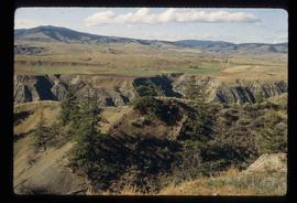
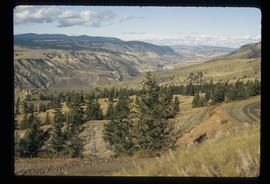
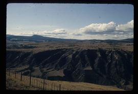
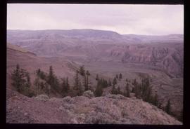
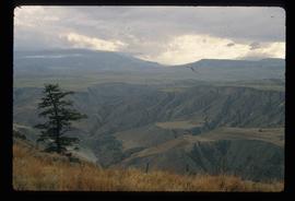
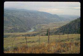
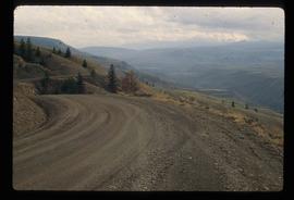
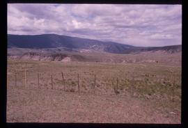
Image depicts a view of Valemount with numerous mountains in the background.
Image depicts a view of Valemount, with numerous mountains in the background.
File consists of a draft paper from B.D. Tutty entitled "Utilization of Chinook Salmon Rearing in the Upper Nechako River", a paper by S.A. Macfarlane entitled "Utilization of the Nechako River by Chinook Salmon", and a summary of observation made and data recorded on rearing chinook salmon fry in the Nechako River by Department of Fisheries and Oceans' staff during field trips conducted from April 29 to May 2, 1980 and from June 23-29, 1980.
File contains slides depicting various places in the USA.
File contains slides depicting places along Route 80 in the USA.
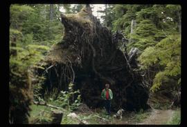
Image depicts an individual standing next to what appears to be the base of a very large, uprooted tree, located somewhere in the coastal forest of Haida Gwaii, B.C.
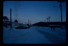
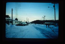
Image depicts several unidentified individuals walking along the snow-covered Upper Fraser Road with numerous buildings on either side. Map coordinates 54°07'05.7"N 121°56'38.9"W
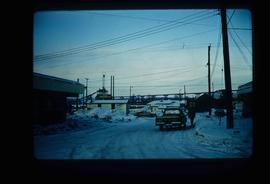
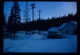
Image depicts the Upper Fraser Road running through Upper Fraser, B.C. A beehive burner is seen in the background on the left and the mill office is seen on the right. Map coordinates 54°07'05.7"N 121°56'38.9"W
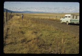
Slide depicts a view of what is possibly the Upper Fraser River.
The item is a CD-R containing Kent Sedgewick's files regarding the Upper Fraser Valley history. Files include literature summaries, oral history transcripts and various other documents referring to the Upper Fraser Valley. Annotations on CD-R state, "Jun 7 '04 Kent - UF files to start."
Image depicts entrance to mill yard for Upper Fraser mill in Upper Fraser, B.C. Map coordinates 54°07'10.8"N 121°56'51.7"W
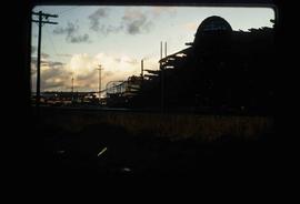
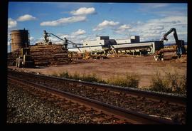
Image depicts Upper Fraser mill yard with log deck and beehive burner in silhouette across railroad tracks. Located in Upper Fraser, B.C. Map coordinates 54°07'01.5"N 121°56'29.6"W
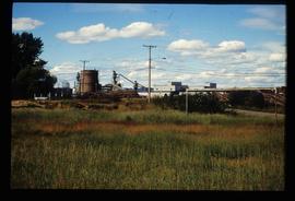
Image depicts numerous log decks at the Upper Fraser sawmill. Map coordinates 54°07'10.8"N 121°56'51.7"W
Image depicts the entrance to the Upper Fraser mill yard in Upper Fraser, B.C. Map coordinates 54°07'10.8"N 121°56'51.7"W
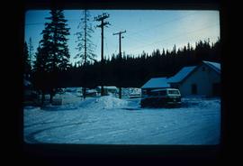
Image depicts several houses, likely in Upper Fraser, B.C.
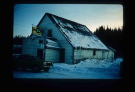
Image depicts the Upper Fraser General Store in Upper Fraser, B.C. Two other signs indicate that it is also a post office and a place that offers propane refills. Map coordinates 54°07'10.8"N 121°56'51.7"W
Image depicts an unknown woman on a road in the upper Fraser Canyon.
Image depicts a view of some of the scenery near the Upper Fraser Canyon.
Image depicts the Fraser River passing through the upper Fraser Canyon.
Image depicts a view of the Upper Fraser Canyon. The Fraser River is visible.
Image depicts the Fraser River running through the Upper Fraser Canyon.
Image depicts a view of the eastern part of the upper Fraser Canyon.
Image depicts a view of the eastern part of the upper Fraser Canyon.
Image depicts a view of the Upper Fraser Canyon.
Image depicts a view of the upper Fraser Canyon.
Image depicts a view of the upper Fraser Canyon.
Image depicts a view of the upper Fraser Canyon.
Image depicts a view of the upper Fraser Canyon.
Image depicts a view of the Upper Fraser Canyon.
Image depicts a view of the upper Fraser Canyon. The Fraser River is visible on the left side of the image.
Image depicts a view of the upper Fraser Canyon. The Fraser River is visible on the left side of the image.
Image depicts a view of the upper Fraser Canyon.
Image depicts the Upper Fraser Canyon.
Image depicts a house in Upper Fraser with the residential area in the background. Map coordinates 54°07'02.8"N 121°56'37.5"W
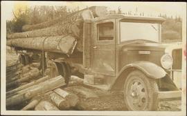
An “Indiana” flatbed logging truck releases logs from its load onto a makeshift log slide at the edge of a road.
Handwritten annotation in pencil on verso: "unloading logs".
Footage of men unloading hay for cattle from a horse-drawn flat bed trailer, a panoramic view of the surrounding mountains, and people being driven in flat bed tractor out to a small silver plane and taking off.
Photograph depicts a man and woman standing on what is believed to be an early mining bench. Two men with air track drill can be seen in background, one man father down on left, mountain range in background. Image slightly distorted due to poor quality of negative.
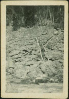
Photograph depicts a rocky area at base of forest trees, flowing water can be seen in foreground.
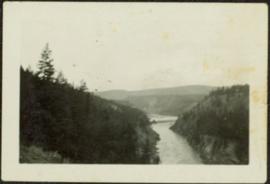
Photograph depicts river winding between steep hills, trees in foreground.
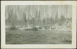
Photograph depicts river in foreground, trees on opposite shore in background. Photo also appears to depict two unidentified individuals on small boat or canoe.
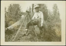
Unidentified man stands with camera on tripod in grassy area. Trees and possibly a body of water are visible in background.
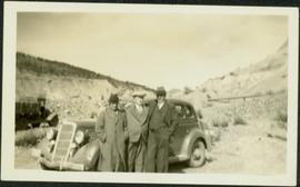
Photograph depicts three men wearing suits and ties, posed in front of car in gravel area believed to be at a mining location. Hauling truck crosses road in midground, cliffs and hills in background.
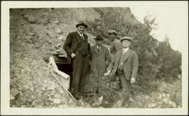
Photograph depicts four men wearing suits and ties, standing in front of mine adit in rocky area, bushes in background. Handwritten annotation on recto of photograph: "1939 H.F. (Bert) Glassey with black hit in middle" (information regarding Glassey believed to be incorrect).
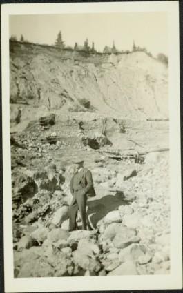
Photograph depicts man smoking pipe in area believed to be a mining location, sandy cliffs in background.
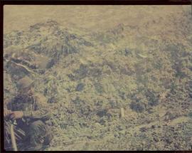
Image of man seated with shovel in mountainous area, loose asbestos fibre in background. This photograph is believed to be either a double exposure of two images, or a print made from two negatives at once. Photo depicts an unidentified man sitting on the south ridge of the Cassiar ore body, where the crusher and rock reject plant would eventually sit. Valley in background appears to depict the "Footwall Road," which was cut into the mountain from the pit to the crusher plant and became the mine's main haul road.
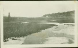
Photograph depicts water with bog-like shore and ice floating in foreground. Buildings visible in distance, cliffs in background.
File consists of University of Western Australia Thesis: "Cultural Realities and Partial Truths: Gendered Ethnographies in Northern Aboriginal Australia" by Sandy Toussaint.
File consists of components of Ainley's Social Science and Humanities Research Council (SSHRC) grant, "Re-explorations: science and environment in 19th and 20th century Canada and Australia"; correspondence relating to her position at the University of Victoria as an adjunct professor and the status of her grant; correspondence requesting and extension to the grant; and ethics approval forms submitted to the University of Victoria.
File consists of a typed copy of a speech by Weller titled "University Education on the Northern Frontier" as well as brochures and schedules from the "On the Frontier" conference. This file was originally numbered to correspond with conference paper number 75 listed in Weller's CV.
File consists of a paper titled "Universities, Politics and Development: The Case of Northern Ontario" presented by Weller at the International Symposium on the Roles of Universities in Developing Areas. This file was originally numbered to correspond with conference paper number 27 listed in Weller's CV.
