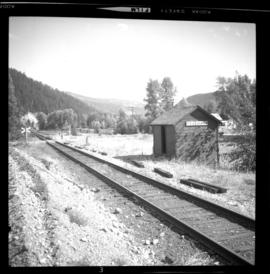
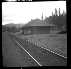
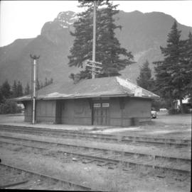
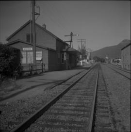
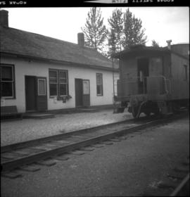
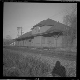
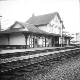
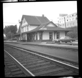
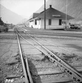
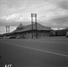
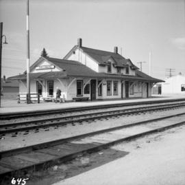
2013.6.36.1.022.14
·
Item
·
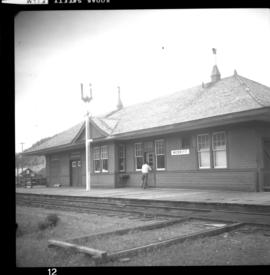
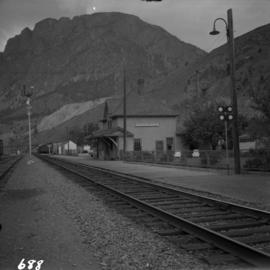
2 Sept. 1970
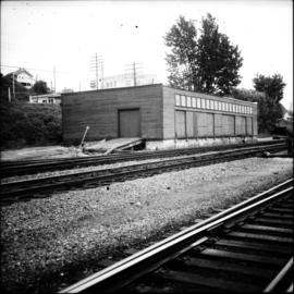
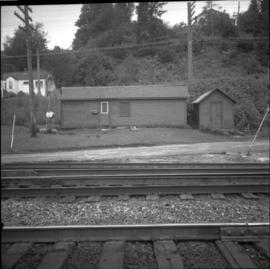
Part of David Davies Railway Collection
Photograph depicts the West Summerland CPR station in the Okanagan. The station often was used but not permanently manned. It was located at mile 9.5 from Penticton. The view is looking south.