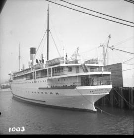
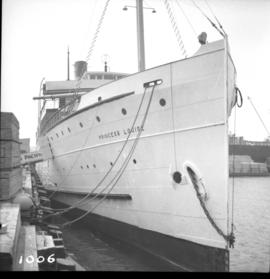
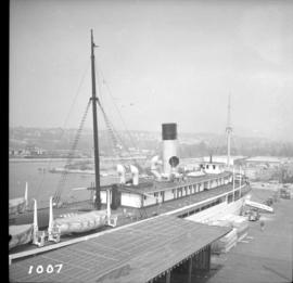
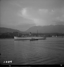
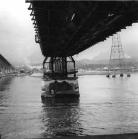
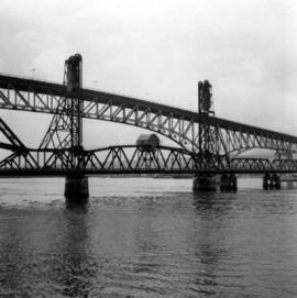
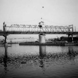
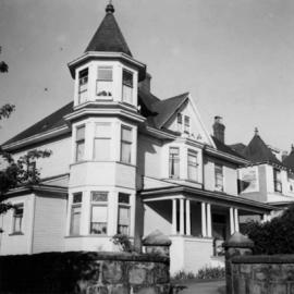
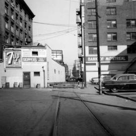
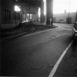
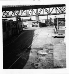
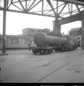
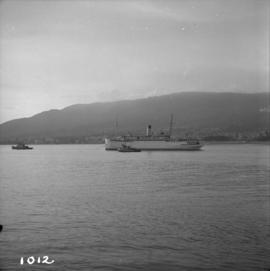
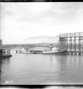
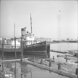
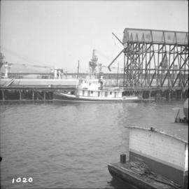
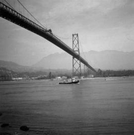
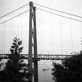
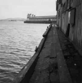
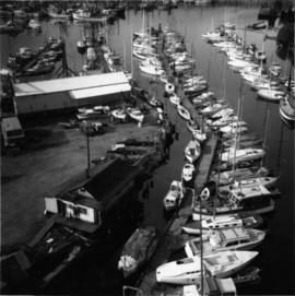
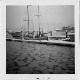
Photograph depicts the moorings in front of the Bayshore Hotel in Coal Harbour, Vancouver.
Photograph depicts the ship the "Princess Louise" at Lynn Terminals in Vancouver Harbour.
Photograph depicts the ship the "Princess Louise" at Lynn Terminals in Vancouver Harbour before departure for California. It has one poorly applied coat of white paint. The anchors have been removed and the towing tackle placed in position.
Photograph depicts the ship the "Princess Louise" prior to departure at Lynn Terminals, North Vancouver. She had been tied to this wharf for at least 18 months.
Photograph depicts the ship the "Princess Louise" under tow and just passed under the Lions Gate Bridge in Vancouver.
Photograph depicts the ship the "Princess Louise" under tow by the Vancouver tug "la Pointe", just west of the First Narrows.
Photograph depicts steam tugs "Master" and "Prestige" at N.H.B. #4 Elevator in Vancouver Harbour. The "Prestige" has not been fired or looked after for at least 2- 3 years and had been moved to this position the previous day after being tied up elsewhere in the harbour in one position for over 12 months.
Photograph depicts the steam tug "Prestige" at Vancouver Ocean Terminal on the south side of Vancouver Harbour. The disused Indian Arm ferry is alongside.
Photograph depicts the steam tug "Master" tied up to N.H.B. elevator #4 on the southeast side of Vancouver Harbour.
Photograph depicts a view between Drake and Pacific Streets, on the edge of the CPR Drake St. yards in Vancouver. The view is looking east and the Archibald Agencies located at 328 Drake St. are on the left. Some of the rail on the siding is dated 1912, 1911, 1914, which could be the original trackage. The photo is looking down grade to the connection with the yards, immediately west of the Cambie bridge.
Photograph depicts the CPR yards at Drake St. The view is looking east to the Cambie St. bridge in Vancouver. The track behind the camera leads to the Homer St. warehouse complex.
Photograph depicts a CPR signal tower protecting the road crossing at Alexander and Columbia Streets on the downtown eastside, leading to the Kingcome Navigation Dock. The view is looking east.
Photograph depicts the CPR yards in Vancouver, adjacent to Centennial Pier. The view is looking west.
Photograph depicts CPR Budd Car #9055 at the False Creek yards. It is unknown where this car operates as there are no local CPR services that use Budd cars.
Photograph depicts a CPR roundhouse at the False Creek yards in Vancouver. The tender of stored locomotive #2860 is protruding, as the house cannot taken the length of this locomotive. Locomotive #2860 is a 4-6-4 Royal Hudson, built in 1940 at the Montreal Locomotive Works. It is now owned by Mr. J. Hussey of West Vancouver.
Photograph depicts the CPR Drake St. yards in Vancouver. It shows CPR locomotive #3716, 2-8-0 Consolidation. It was built in February 1929 at the Montreal Locomotive Works. It was acquired in 1966 from the CPR by the city of Port Coquitlam. The locomotive is not renovated or repainted, and the fire box is in poor shape. Considering that is has been 5 years in the open it has little or no vandalism. All gauges in the cab are still intact.
Plan depicts Granville Island industrial sites in False Creek, Vancouver. Shows revised trackage from 1955 annotated in colour by Davies.
Photograph depicts the under face of the B.C. Electric Railway swing bridge at False Creek looking north.
Photograph depicts the Lions Gate Bridge in Vancouver, BCfrom the southeast side.
Photograph depicts the Lions Gate Bridge on the east side looking south from the shore of North Vancouver, BC
Photograph depicts the decking and piers of the northern section of the Lions Gate Bridge, looking north from the shore of North Vancouver, BC
Photograph depicts the south tower of the Lions Gate Bridge looking east with the SS Prince George in the background.
Photograph depicts the span of the Second Narrows bridge lifting from the southwest bank of Vancouver, BC
Photograph depicts the Second Narrows railway bridge in Vancouver, BCfrom the south end of the road bridge with the lifting span up.
Photograph depicts the Second Narrows Railway Bridge in Vancouver, BC, as a coastal tanker going upstream to a refinery passes beneath it.
Photograph depicts the Second Narrows Railway Bridge in Vancouver, BC, as the lifting span is starting to drop. The view is looking east towards Capitol Hill and Berry Point.
Photograph depicts the underside of the lifting span of the Second Narrows Railway Bridge in Vancouver, BCView is from the south, fixed side.
Photograph depicts the Second Narrows Railway Bridge in Vancouver, BC; view from the lifting span looking south.
Photograph depicts the lifting span of the Second Narrows Bridge with a motor car on the west roadway, as the span is about to close to its normal, flush position.
Photograph depicts the Second Narrows Railway Bridge in Vancouver, BC, from a view on the lifting span looking north.
Photograph depicts the Second Narrows Railway Bridge in Vancouver, BCfrom the south east shore.
Photograph depicts a trestle bridge for road traffic leading to the Second Narrows Bridge in Vancouver, BCThe shot is taken from the south bank.
Photograph depicts the Cambie St. Bridge in Vancouver, BC, looking east and showing the central swing span.
Photograph depicts a home located at 1459 Robson St., at the northeastern intersection of Robson and Nicola, in Vancouver B.C.
Photograph depicts Hamilton St. in Vancouver, looking northeast.
Photograph depicts a former C.P.R. connection between the False Creek yards and the south side of Vancouver harbour on West Pender St. in Vancouver, B.C. This spur used daily to get cars into the B.C. Electric Rail yard at the Georgia Viaduct from the C.P.R. False Creek yards.
Photograph depicts Mainland St. in Vancouver, B.C. , looking northeast with Helmken St. intersecting.
Photograph depicts a fire hall for fire float VFD "J.H. Carlisle" at False Creek. It is on the north shore and in line with Willow St., Vancouver.
Photograph depicts the C.P.R. pier A.1. (now 12A) at Vancouver, B.C., slightly right of the foot of Thurlow St. It was built in 1890 and it is still in use. The view shows its east face.
Photograph depicts the seaward end of C.P.R. pier A1 (now 12A), showing its rotted condition. The pier was built in 1890 and is still in use except at this outer face. C.P.R. pier B1 is in the background.
Photograph depicts one of the few surviving old style garages in west end Vancouver on Barclay St.
Photograph depicts a house on Nicola St. at the southwest corner of the intersection of Nicola and Robson St., in Vancouver, B.C.
Photograph depicts the junction of Robson and Cordero St. in west end Vancouver, B.C. The photo is looking northwest on the newly demolished block, except for some houses at far end. View is looking down Robson St., with Cordero St. intersecting the photo.
Photograph depicts the south shore line of the B.C. Electric Railway in False Creek, Vancouver. B.C. Hydro operated it, if not owned it. The location was directly opposite from Granville Island.
Photograph taken looking southward under the arches of Granville Bridge along the rail road entry as well as exit to the Island.
Photograph taken looking eastward on Cartwright Street with property of Brandham-Handerson Point Company at the right. A trank car, property of Union Tank Car Company (built in 1926) is visible along the building. The tank car was about to be switched by the BCER.
Photograph taken looking westward along Johnston Street.
Photograph taken on the southwest side of Granville Island. After 2 years of hassle with owner Clay, Davies notes, the city of Vancouver purchased his property so as to re-develop the whole area as part of the False Creek clean up. There was opposition coming from moorage renters.
Photograph depicts BCER freight switching on the Island's trackage with B.C. locomotive #901 and tank car, property of Union Tank Car Company, built in 1926. Image captured directly underneath Granville Bridge.
Photograph depicts the realignment of track due to the redevelopment of the south side of False Creek, Vancouver. Track was laid as far as the rail mounted truck and was merely covered by ballast. New trackage put into use and old track was removed within the week the picture was taken.