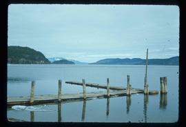
Mostrar 3756 resultados

Archival description
3615 resultados com objetos digitais Mostrar resultados com objetos digitais
Babcock Creek
2012.13.1.55.27 · Item · 1971
Parte de J. Kent Sedgwick fonds

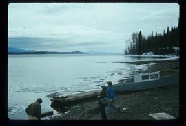
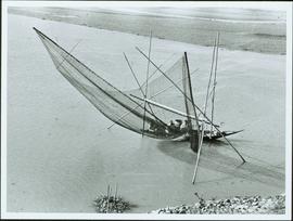
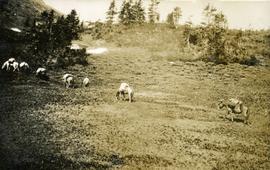
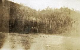
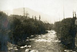
Image depicts two unknown individuals pulling a canoe through Babcock Lake's three mile creek.

Babine Lake
2014.10.1.308 · Item · 1913
Parte de Arthur Holland Land Surveying Collection

Photograph depicts a view from the shore of Babine Lake looking across the water to forest and snowy mountain peaks in the distance. [55th parallel]

Babine Lake
2012.13.1.51.045 · Item · May 1973
Parte de J. Kent Sedgwick fonds

Image depicts several unknown individuals on the shore of Babine Lake.

Back Road
2012.13.1.41.11 · Item · 2002
Parte de J. Kent Sedgwick fonds

Image depicts a back road at an uncertain location, possibly near Iron Road North, north of Woodpecker, B.C.

Bare Logs
2012.13.1.122.17 · Item · [1979?]
Parte de J. Kent Sedgwick fonds

Image depicts numerous logs that have been stripped of their bark at a saw mill in Prince George, B.C.

Bare Trees
2012.13.1.93.35 · Item · 1978
Parte de J. Kent Sedgwick fonds

Image depicts a forest of bare trees, possibly somewhere near Fort St. John, B.C.

Barricading Against Falling Loose Rock
2000.1.1.2.2.29 · Item · 1963
Parte de Cassiar Asbestos Corporation Ltd. fonds

Handwritten caption beside this photo reads: "Elaborate barricades required due to amount of loose rock falling continuously". Three men work in area confined by barricades made of vertical metal rods and horizontal wood planks. Miscellaneous building material and supplies cover the ground. Rock pile in foreground on right.

Barriere
2012.13.1.74.01 · Item · Aug. 1974
Parte de J. Kent Sedgwick fonds

Image depicts a section of river located somewhere near Barriere, B.C.

Battle Hill
2012.13.1.51.108 · Item · 1978
Parte de J. Kent Sedgwick fonds

Image depicts the Battle Hill National Historic Site in Kitwanga, B.C.. The sign located there says: "The small knoll in the valley was a native fortress. Legends maintain that it was man-made: built to repel marauding coastal tribes. The hill was the scene of local tribal battles, and at one time was crowned with the defenders' buildings. Known as Dhawdezp, the unique mound is a prominent feature in the legends and history of the Indian people."

BC Express steamer, Fraser River
2011.3.4.07 · Item · [ca. 1901-1915]
Parte de North Coast & Central BC Postcard Collection

B.C. Express Steamer, Fraser River. Trees and mountains in background. Printed annotation on recto reads: “B.C. Express Steamer, Fraser River.” Handwritten annotation in pencil on verso reads: “BC Express Fraser River BC”

B.C. Ghost Town Map
2000.23.1.070.13 · Item · [between 1970 and 1987]
Parte de Audrey Smedley L'Heureux fonds

This map depicts where to find ghost towns, forts, First Nation villages, and sites with supposed hidden treasures in British Columbia.

BCR
2012.13.1.50.027 · Item · 1975
Parte de J. Kent Sedgwick fonds

Image depicts the BCR tracks passing through a mill somewhere near the 100 Mile.

Beach behind Hotel Costa do Sol
2009.6.1.484 · Item · [ca. 1985 - 1990]
Parte de The Honourable Iona Campagnolo fonds

Handwritten annotation on slide casing reads: “behind hotel Costa do Sol”.

Photograph is one of seven images believed to have been taken on a Canadian University Service Overseas (CUSO) mission in Mozambique; see also items 2009.6.1.483 - 2009.6.1.489.

Bear Creek Bridge, Stewart, BC
2011.13.10 · Item · ca.1910-ca.1930
Parte de Parker photograph collection

Photograph of a long wooden bridge spanning a river. Forest and hills are visible in the background. Printed annotation on recto reads: "#46 Bear Creek Bridge, Stewart, BC."