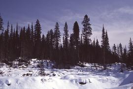
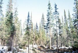
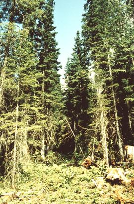
File contains an original "Do's and Don't's When Marking Stands For Cutting" booklet illustrated by J. Pickford.
File contains a photocopied version of "Tree Farm Licence No. 29 - Eagle Lake Sawmills Ltd. Cutting Permit Application No. 7". Although this item is not related to the Aleza Lake Research Forest, it is relevant to forest history in the Prince George area and therefore retained by the Society.
File contains the following Annual Reports of the Aleza Lake Research Forest Society:
- 2003
- 2005
- 2006
- 2008
File contains an original report entitled "An Appraisal of Logging Practices in the Naver Forest" by D. Burbidge of the BC Forest Service.
File contains an original copy of a United States Department of Agriculture Handbook No. 6 "Northeastern Loggers' Handbook" by Fred C. Simmons. This handbook includes detailed information about logging tools and techniques, many of which would have been used in British Columbia logging practices.
File contains four maps of the Aleza Lake Research Forest showing locations of Permanent Sample Plots in partial cut timber sales.
Map is an original linen Aleza Lake Experiment Forest map that reflects the reserve boundary, roads, trails, 20 feet contour intervals, air photo centre, declination, swamps, and mile posts.
Map reproduction of the Aleza Lake Research Forest depicts timber sale areas, forest cover, and other details.
File is a Resource Folio of maps and accompanying information created by Northwood Pulp & Timber regarding Timber Sale Harvesting Licence A01847, Willow River Block, Willow River P.S.Y.U. Includes maps that depict ungulates, waterfowl, recreation areas, special influence areas, and timber types. Most of the sheets have a duplicate, some with very slight variations. The following maps are supposed to be included in the but were missing upon arrival at the Archives: fish & topography, cutting permits & roads, and soils.
Item is a hand-drawn map of a plot in the Aleza Lake Research Forest. Individual trees are marked and numbered.
Mylar map is a plot map of a research plot at the Aleza Lake Research Forest. Provides date the plot was established, the harvest history, the silviculture history, remeasurement history, and information about individual trees.
Map depicts historical timber sales areas and permanent sample plots (PSPs) at the Aleza Lake Research Forest. This map may be a guide (or otherwise related) to maps 2006.18.5.43-59.
Item is a British Columbia Forest Cover Map, serial number 093J010. Includes full format forest cover labels.
Photographs are panoramas taken from the Churchill BC Forest Service Lookout, located at latitude 54°04' and longitude 122°16'. The photographs were bound together and include a transparent grid that was intended to be used for locating forest fires.
Slide depicts a cleared area in a forest, likely at the Aleza Lake Experiment Station.
Slide depicts cleared ground and felled trees in a forested area, likely at the Aleza Lake Experiment Station.
File consists of slides depicting the Aleza Lake Research Forest and area taken by Michael Jull.
Annotation on slide: "BCMoF"
Annotation on slide: "CP 57 Lower Burnt, January 1992, Rubber-tired skidder on road, R-O-W in advance regen, Dawson Crk district"
No annotation on slide.
Photograph depicts Harry Coates, Ted Baker, and John Revel at Aleza Lake Research Forest re-opening ceremony on July 9, 1992.
Annotation on photograph verso: "July-Aug. 1991, View of Summit Lake EP 1162. Area from top of Teapot Mountain, looking east. Trial area is east of Crooked River, north of Caine Creek [Forest Service] Road, south of gravel pit (on right)".
Annotation on photograph verso: "D6 grapple skidder used for road development only. 27/12/91. Summit Lake Selection Trial"
Annotation on photograph verso: "View SE from Jtn of A Road and Main Road. Uncut stand on left; selection logging virtually complete in centre and right. 15/1/92. Summit Lake Selection Trial"
Annotation on slide: "Summit Lake D4H highdrive"
Annotation on slide: "Summit Lake, March 1992".
Annotation on slide: "Summit Lake Select Trial: Resid. Basal Area Study".
No annotation on slide.
Annotation on slide: "Basal scarring on Douglas fir, Summit Lake".
Annotation on slide: "Summit Lk., Mod. vol. removal".
No annotation on slide.
Annotation on slide: "Heavy Residual Basal Area: Summit Lake".
File consists of photographs taken by Paul Sanborn during the May 9, 2002 UNBC/UBC Aleza Lake Research Forest Field Tour for UNBC and UBC faculty members.