2012.13.1.45.13
·
Pièce
·
1983
Fait partie de J. Kent Sedgwick fonds
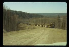
Image depicts a road somewhere in Tumbler Ridge, B.C. There are numerous construction vehicles present.


