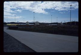
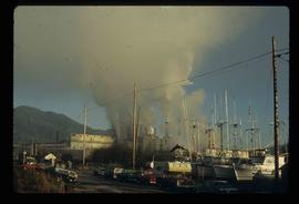
Image depicts a view of what is possibly a shipping yard in Prince Rupert, B.C. The slide is labelled "superport."
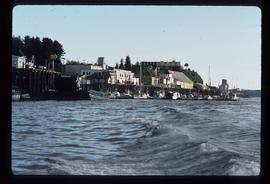
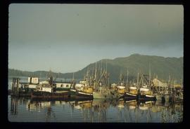
Image depicts numerous docked boats in Prince Rupert, B.C.
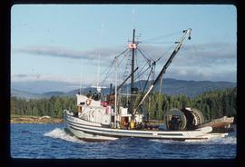
Image depicts a fishing boat on the water somewhere near Prince Rupert, B.C. Only half of its name is visible: "spirit."
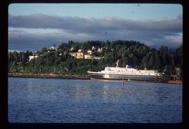
Image depicts the ferry to Alaska in the port of Prince Rupert, B.C.
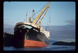
Image depicts a large vessel docked in Prince Rupert, B.C. The name on its side is "Star Capella." The slide itself is labelled "superport."
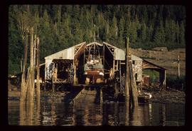
Image depicts a boat docked inside what appears to be a type of boathouse, possibly located in Metlakatla near Prince Rupert, B.C.
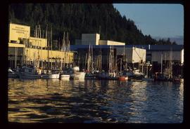
Image depicts numerous boats docked by a buildings identified as the "Prince Rupert Fishermen's Co-operative Association."
Image depicts numerous docked boats somewhere in Prince Rupert, B.C.
Image depicts a large building with numerous vehicles in the foreground.
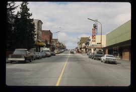
Image depicts the main street of Prince Rupert, B.C.
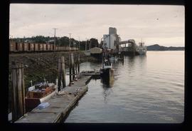
Image depicts a large vessel docked at a grain elevator and two smaller boats at a dock in the foreground somewhere in Prince Rupert, B.C.
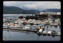
Image depicts numerous boats docked in Prince Rupert, B.C.
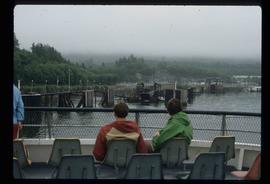
Image depicts several individuals seated on a ferry as it possibly departs from a dock somewhere in Prince Rupert, B.C. It is most likely headed for Haida Gwaii, B.C.
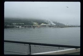
Image depicts numerous boats docked by the Prince Rupert Fishermen's Co-operative Association from the deck of a ferry, possibly as it's leaving Prince Rupert, most likely for Haida Gwaii.
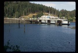
Image depicts a ferry docked at Haida Gwaii, B.C.
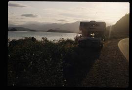
Image depicts a vehicled parked on the side of the road, with a view of the coast of Haida Gwaii in the background.
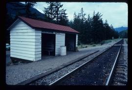
Image depicts the train station in Seton Portage, B.C.
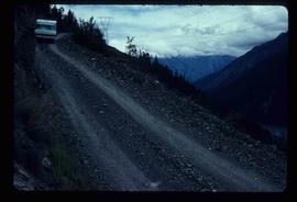
Image depicts a steep mountain road somewhere in the area of Seton Portage, B.C.
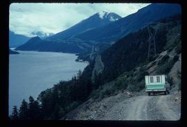
Image depicts a view of Anderson Lake near Seton Portage, B.C. A vehicle on a mountain road is also visible.
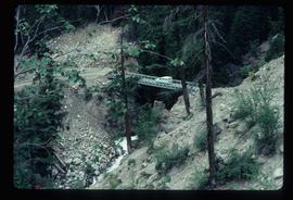
Image depicts a vehicle on a bridge somewhere near Anderson Lake in the Seton Portage area.
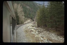
Image depicts the side of a train and the tracks it is on, somewhere in the Seton Portage area.
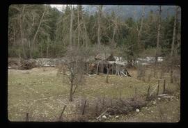
Image depicts a collapsing shack somewhere in the Seton Portage area.
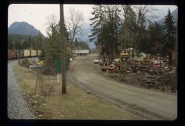
Image depicts a road with what appears to be a junkyard to the right of the image, likely located somewhere in Seton Portage, B.C.
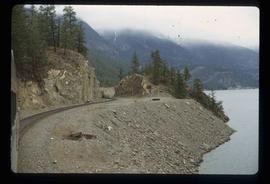
Image depicts the side of a train and the tracks it is on, as well as a small section of what is either Seton or Anderson Lake near Seton Portage, B.C.
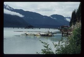
Image depicts Stewart Harbour in Stewart, B.C.
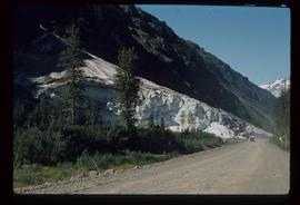
Image depicts a glacier on the side of a road at an uncertain location; the slide labels it as "avalanche glac."
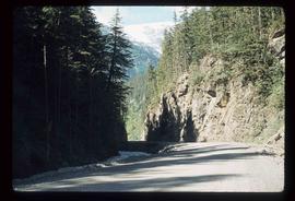
Image depicts a section of road running through the Bear River Gorge.
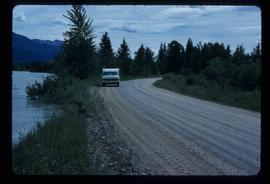
Image depicts a vehicle on a gravel road somewhere near Tête Jaune Cache, B.C.
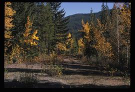
Image depicts an old road through the trees near Yellowhead Pass. The slide labels it as the origin of the Yellowhead highway.
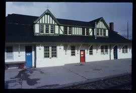
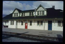
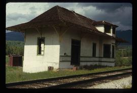
Image depicts the CN Station in McBride, B.C.
Image depicts the CN Station in McBride, B.C.
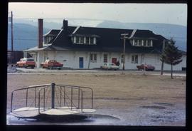
Image depicts the rear-end of the CN Station in McBride, B.C.
File contains slides depicting places along the east line of the BC Railway.
Image depicts the railway running near Crescent Spur in the Rocky Mountain Trench.
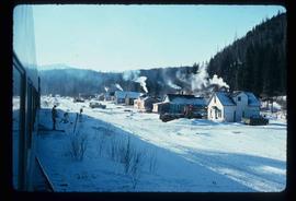
Image depicts a row of houses and the side of a train in Crescent Spur, B.C.
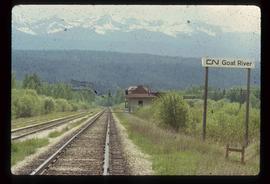
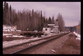
Image depicts the CN Railway and Station at Goat River, B.C.
Image depicts the CN Railway and Station at Goat River, B.C.
Image depicts the CN Station in Dome Creek, B.C.
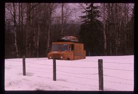
Image depicts a strangely shaped orange vehicle somewhere in Dome Creek, B.C.
File contains slides depicting places along the east line of the BC Railway. Some are duplicates of the images found in the "East Line, Dome Creek - Lamming Mills - Misc" file.
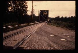
Image depicts the Hansard railroad bridge looking west. Map coordinates 54°04'37.9"N 121°50'46.3"W
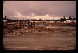
Image depicts several eighteen wheelers at the Pass Lake Road and Upper Fraser Road intersection with numerous houses and buildings in the background in McGregor, B.C. Map coordinates 54°04'38.1"N 121°50'00.1"W
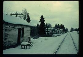
Image depicts railway tracks on the right side of the image, and several old houses alongside it. The location is uncertain.
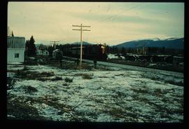
Image depicts a train and several unidentified individuals who appear to be waiting for it as it passes through Sinclair Mills, BC.
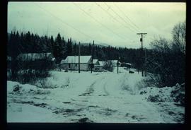
Image depicts a snow-covered road with vehicle tracks, and several houses. The location is uncertain.
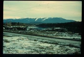
Image depicts a pile of old logs on the bank of the Fraser River with mountains in the background. In the foreground, a set of railway tracks run through an uncertain location, likely Upper Fraser, B.C.
Image depicts railway tracks and buildings with a beehive burner on the left. The location is likely Sinclair Mills, B.C. Map coordinates 54°01'17.4"N 121°40'53.0"W
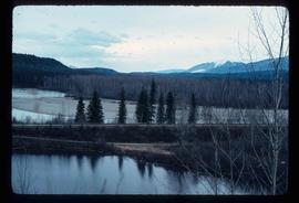
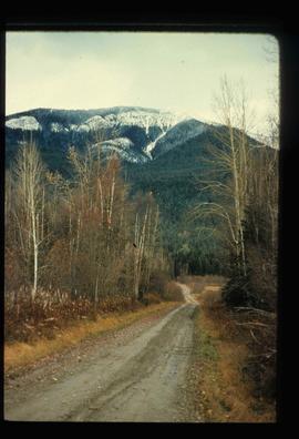
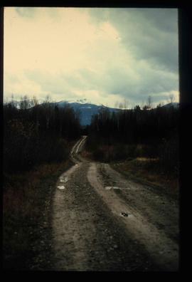
Image depicts a dirt road leading through numerous trees toward a mountain. The location is uncertain, likely on the way to Longworth, B.C.
Image depicts a dirt road leading through numerous trees toward a mountain. The location is uncertain, likely on the way to Longworth, B.C.
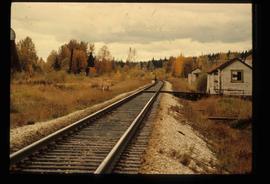
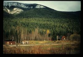
Image depicts several old shacks and some railway tracks running through Longworth, B.C.
