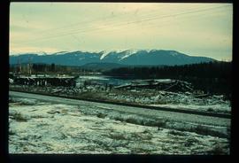
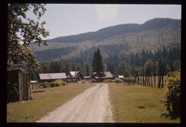
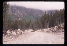
Image depicts a pile of old logs on the bank of the Fraser River with mountains in the background. In the foreground, a set of railway tracks run through an uncertain location, likely Upper Fraser, B.C.
Photograph depicting a log house, presumably in the campground in Quesnelle Forks.
Photograph depicting a small log cabin with a front porch and a sign reading "Happy 150th Anniversary Cariboo Gold Rush 1859-2009", presumably taken in Quesnelle Forks.
Photograph depicting a log cabin with a woman sitting on the front porch, presumably Sue Sedgwick. The photograph is presumably taken in Quesnelle Forks.
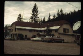
Image depicts a hotel in Likely, B.C.
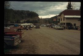
Image depicts numerous vehicles and individuals outside a hotel in Likely, B.C.
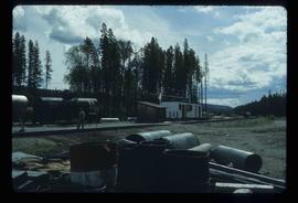
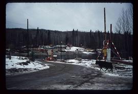
Image depicts a building, possibly an office building, next to a set of rail road tracks in Leo Creek, B.C. An unknown individual is present, and a number of barrels and culverts are visible in the foreground.
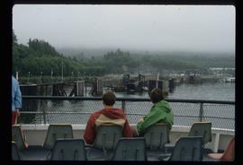
Image depicts several individuals seated on a ferry as it possibly departs from a dock somewhere in Prince Rupert, B.C. It is most likely headed for Haida Gwaii, B.C.
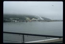
Image depicts numerous boats docked by the Prince Rupert Fishermen's Co-operative Association from the deck of a ferry, possibly as it's leaving Prince Rupert, most likely for Haida Gwaii.
Photograph depicting a large stone surrounded by trees in an unknown location.
Photograph depicting a large stone surrounded by trees and two people sitting on top of it.
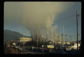
Image depicts a large building with numerous vehicles in the foreground.
Photograph depicting a landscape with a lake and a mountain in the background.
File consists of a duotang containing a typescript essay titled "Land Speculation and the Railway Station in Prince George" by Alistair Mcvey for a geography class.
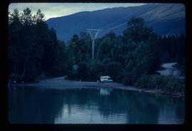
Image depicts a camper on the shore of what is possibly Melita Lake, near the Tseax Cone.
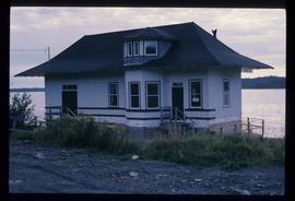
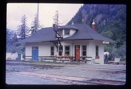
Image depicts the Kwinitsa CNR station, which is Prince Rupert's railway museum.
Image depicts the Kwinitsa CNR station in Kwinitsa, along the Skeena River.
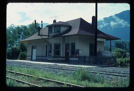
Image depicts the CN Rail station located in Kitwanga, B.C.
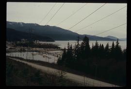
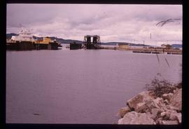
Image depicts a harbour in Kitimat, B.C.
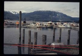
Image depicts numerous docked boats in Kitimat, B.C.
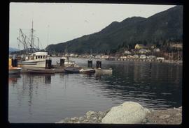
Image depicts numerous docked boats, as well as many houses on the shore in the background; located in Kitimat, B.C.
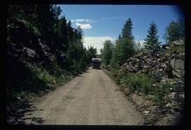
Image depicts a van on a narrow road, likely the Kettle Valley Trail.
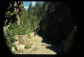
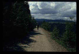
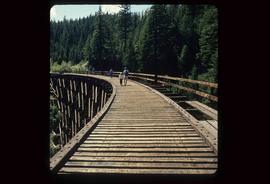
Image depicts a woman walking along a trail somewhere in Kettle Valley, B.C.
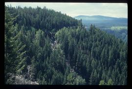
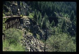
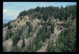
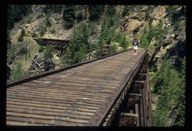
Image depicts a view of Kettle Valley, with a bridge of the old Kettle Valley Rail Road visible on a slope.
Image depicts a woman walking along the trail of the Kettle Valley Rail Road.
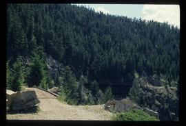
Image depicts the trail of the old Kettle Valley Rail Road.
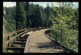
Image depicts a man standing on the old Kettle Valley Rail Road.
Image depicts the old Kettle Valley Rail Road.
Image depicts several unknown individuals standing on the old Kettle Valley Rail Road.
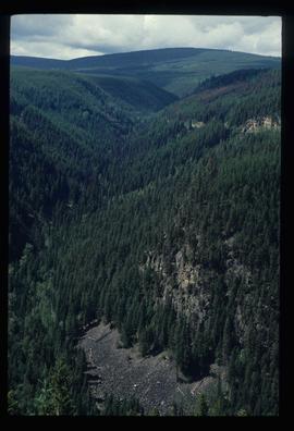
Image depicts the Okanagan Kettle Valley, with the Kettle Rail Road faintly visible among the trees
Image depicts the trail of the old Kettle Valley Rail Road.
Image depicts a woman standing on the old Kettle Valley Rail Road.
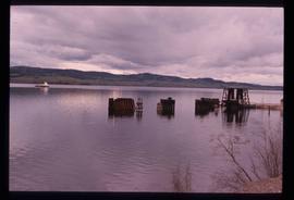
Image depicts a boat dock on the Nechako Reservoir at Kenny Dam.
Image depicts a boat on the Nechako Reservoir at Kenny Dam.
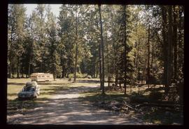
Image depicts a blue truck and a camper in the wooded area surrounding the townsite of Keithley Creek, B.C.
Image depicts the townsite of Keithley Creek, B.C.
Image depicts a road, possibly Joffre Creek Road. The slide is simply labelled "Joffre cr."
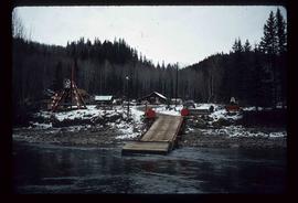
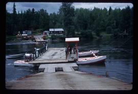
Image depicts the dock for ferries in Isle Pierre, B.C.
Image depicts the dock for ferries in Isle Pierre, B.C.
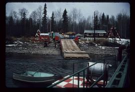
Image depicts the ferry at Isle Pierre, B.C.
Image depicts the ferry in Isle Pierre, B.C.
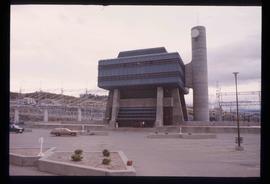
Image depicts the W.A.C. Bennett Dam in Hudson's Hope, B.C.
Image depicts the Giscome B.C. townsite from across the railroad tracks looking southeast. Map coordinates 54°04'19.7"N 122°22'04.7"W
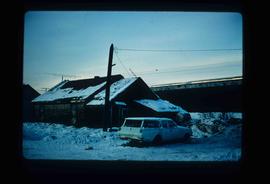
Image depicts and old house and vehicle in Upper Fraser, B.C. Map coordinates 54°07'05.7"N 121°56'38.9"W
File consists of notes, clippings, and reproductions relating to highway transportation in and around the Prince George area. Includes material regarding the Old Cariboo Highway; the Yellowhead Highway east; and Highway 97 north. Includes: "RE: Proposed Bridge at Isle Pierre" typescript letter from Kent Sedgwick to Ken Pedergast, District Manager (4 Oct. 1991) and "Year 2000 Calendar Bridges of BC" calendar for the year 2000 produced by Argentis (2000).
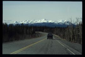
Image depicts a van on a highway with mountains in the distance; the location is uncertain, though it is possibly along the Alaska Highway.
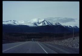
Image depicts a van on a highway with mountains in the distance; the location is uncertain, though it is possibly along the Alaska Highway.
File contains slides depicting Highway 97 South.
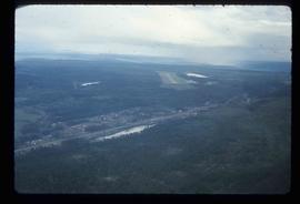
Image depicts an aerial view of the Williams Lake Airport along Highway 97, just north of Williams Lake, B.C.
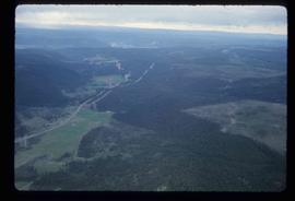
Image depicts an aerial view of Highway 97 just north of Williams Lake, B.C.
