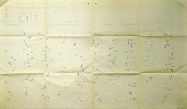
2006.18.5.61
·
Item
·
Mar. 1996
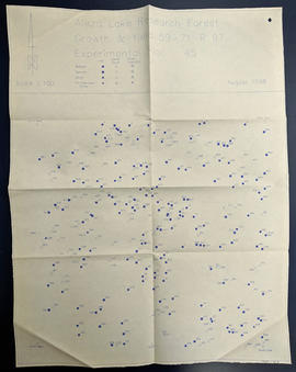
Part of Aleza Lake Research Forest Society fonds
Map depicts structural stages in the Aleza Lake Research Forest. Shows areas of: pioneer growth, shrub/herb, pole saplings, young forests, mature forests, and old forests. Ecosystem classification and mapping by Oikos Ecological Services Ltd.