2009.5.2.138
·
Stuk
·
[ca. 1930?]
Part of Taylor-Baxter Family Photograph Collection
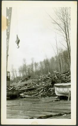
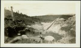
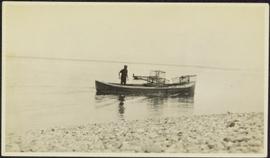
Photograph depicts canoe floating in water, rocky shore in foreground, opposite shore visible on horizon.