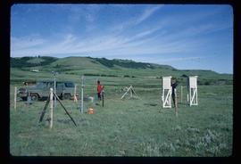
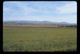
Image depicts two unidentified individuals and a van on a farm at an uncertain location, possibly a place called Cypress Hill, with an atmometer and a sunshine recorder.
File contains slides depicting logging and equipment. Most appear to be locations around Prince George.
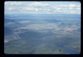
Image depicts an aerial view of areas that have been used for logging around Prince George, B.C.
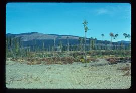
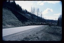
Image depicts a highway, and a section of mountain in the background which is bare due to clear-cut logging. It is possibly somewhere near Prince George, B.C.
Image depicts a logging area, and a section of mountain in the background which is bare due to clear-cut logging. The slide is also labelled "logging show." It is possibly somewhere near Prince George, B.C.
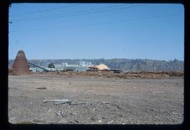
Image depicts a saw mill, possibly Lakeland Mills, with a beehive burner and numerous piles of logs in the foreground, in Prince George, B.C.
Image depicts logs being stripped of their bark at a saw mill in Prince George, B.C.
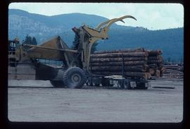
Image depicts a piece of heavy machinery lifting numerous logs off the back of a logging truck. It is likely located in Prince George, B.C.
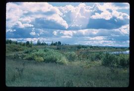
Image depicts the shore line and surrounding land of a lake or river at an airport, possibly in Prince George, B.C.
Image depicts a cutbank on the Nechako River in Prince George, B.C.
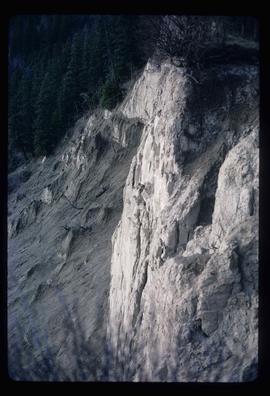
Image depicts an earth flow north of Stone Creek, B.C.
File contains slides depicting numerous recreational locations from various places in Canada.
Image depicts Tabor Mountain in the distance, located in Prince George, B.C.
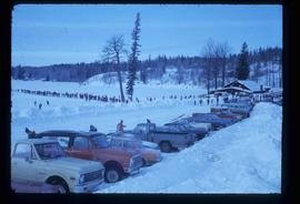
Image depicts a long line of people cross country skiing somewhere on Tabor Mountain in Prince George, B.C.
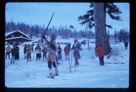
Image depicts a skier in a costume with a fake sword, somewhere on the Birchleg Ski route on Tabor Mountain in Prince George, B.C.
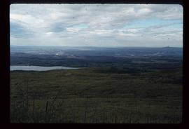
Image depicts the area surrounding Tabor Mountain. Prince George is slightly visible on the left side of the image in the background.
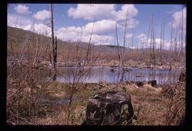
Image depicts a forest of dead trees on the slopes of Tabor Mountain in Prince George, B.C.
Image depicts a the Cottonwood Island Nature Park sign and map in Prince George, B.C.
Map depicts boundaries of study areas, including major study area, community study area, and the city of Prince George boundaries.
File consists of clippings, notes, and reproductions relating to the census boundaries across Canada. Also includes a map entitled "Canada: Federal Electoral Districts - 1987".
File consists of notes and reproductions relating to pre-emption crown land grants between 1869 until 1912 in British Columbia, primarily in Prince George. File primarily consists of printed copies of pre-emptor maps of Prince George and region from the Royal BC Archives and Museum.
File consists of notes and reproductions relating to Prince Arthur the Duke of Connaught, the third son of Queen Victoria who took the place of Governor General in Canada in 1911. Connaught Hill in Prince George was named in rememberance after Prince Arthur. File predominantly consists of printed websites and newspaper articles describing Prince Arthur, the Duke of Connaught, and his role as Governor General.
File predominantly consists of photocopies of newspaper articles, along with notes and reproductions relating to the development of the Prince George townsite and subdivision of Fort George, especially the area covered by Cariboo District Plan 1268. Includes material on investments and sale of lots in Prince George, Grand Trunk Pacific development in Prince George, and incorporation of the city of Prince George.
File consists of notes and reproductions relating to the planning of the Georges: South Fort George, Central Fort George, and Prince George.
File consists of a pamphlet titled "The Fort Fraser-Fort George Bulletin Area" prepared by the Department of Lands, Forests, and Water Resources from the Province of British Columbia.
File consists of a bound thesis titled "Geomorphology and Mass Budget of Peyto Glacier, Alberta" by John Kent Sedgwick submitted for his 1966 Master of Arts at McMaster University.
File consists of two original copies (one in English, one in French) of "Peyto Glacier: General Information" prepared by Kent Sedgwick and E.S. Hencock for Environment Canada. Includes attached supplementary map along with each publication. Also includes duplicate original maps in the file.
Item is a photocopy of Plan No. 1268 showing a subdivision of part of Indian Reserve no. 1 Lot 343 in the Cariboo District of British Columbia.
Item is an original map depicting British Columbia published by the National Atlas Information Geographical Services Division.
Item is a photocopy of a map depicting the central section of British Columbia showing the area served by the Grand Trunk Pacific Railway published by the Poole Brothers in Chicago.
Item is a photocopied 1915 pre-emptor's map of Fort George, published by the British Columbia Department of Lands.
Item is a photocopied map depicting the Cariboo district of British Columbia, in the vicinity of Summit Lake and the Salmon River.
Item is a photocopied 1925 fire insurance plan depicting the Eagle Lake Spruce Mills Ltd. in Giscome, British Columbia published by the British Columbia Fire Underwriters Association.
Item is an original 1935 pre-emptor's map of Quesnel, published by the British Columbia Department of Lands.
Item is an original 1862 map depicting various gold regions of British Columbia published by Britton & Company, San Francisco.
Item is an original 1971 map depicting Vancouver Island, British Columbia, published by the Department of Lands, Forests and Water Resources of British Columbia.
Item is an original 1984 map depicting Mount Waddington in British Columbia, published by the Energy Mines and Resources of Canada.
Item is an original 1969 map depicting Mount Waddington in British Columbia, published by the Department of Energy, Mines and Resources in Ottawa Canada.
Item is an original 1988 street map of Greater Vancouver in British Columbia published by Alco Maps Ltd. in North Vancouver.
Item is an original 1968 map depicting British Columbia and its reliefs, including hills, valleys, and mountains across the province. The map was published by the British Columbia Department of Lands, Forests and Water Resources.
Item is an original orthophoto depicting Cranbrook hill's greenway and multi-use trail and was published by the Indistrial Forestry Service Ltd.
Item is an original 1983 map depicting Salmon River in British Columbia, published by the Province of British Columbia Ministry of Environment. The map includes pen and pencil annotations.
Item is an original 1976 map depicting Spakwaniko Creek in British Columbia, published by the Department of Energy, Mines & Resources in Ottawa, Canada. The map includes pen markings.
Item is a photocopied 1961 National Topographic System map of Sinclair Mills in British Columbia, published by the Canadian Department of Geography. The map includes pen markings.
Item is an original map depicting the Bateman forestry route. Map includes pen markings.
Item is an original map depicting Prince George.
Item is an original 1974 map depicting Isle Pierre, published by the Department of Energy, Mines and Resources in Ottawa. Map includes pen markings.
Item is an original map depicting the Nechako River and Isle Pierre in British Columbia.
Item is an original piece of an annotated map depicting West Lake pulp harvesting forest.
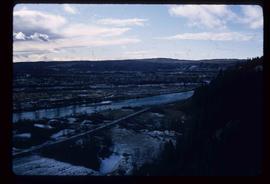
Image depicts a view of Prince George from the cutbanks on the Nechako river.
