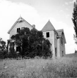
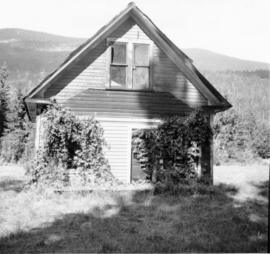
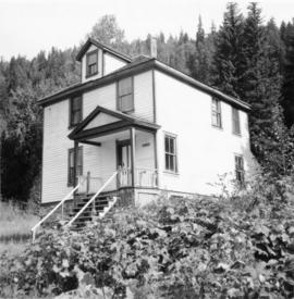
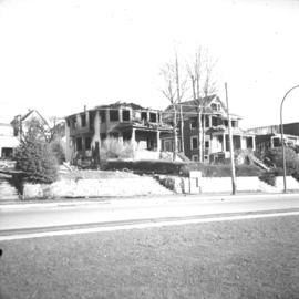
2013.6.36.1.073
·
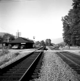
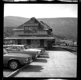
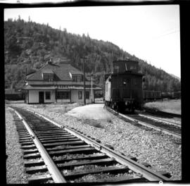
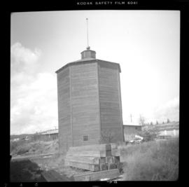
Dossiê
·
1965-1980
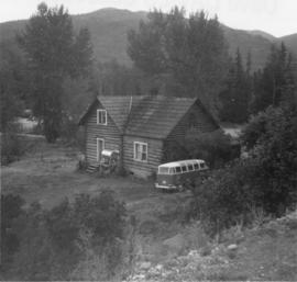
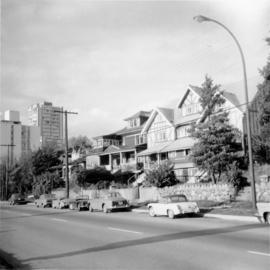
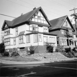
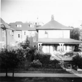
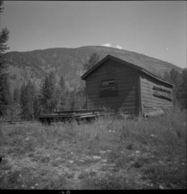
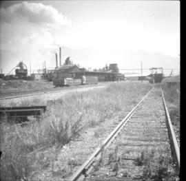
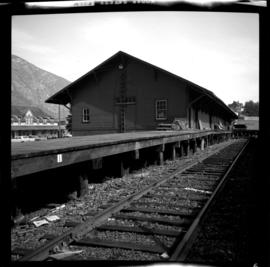
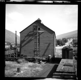
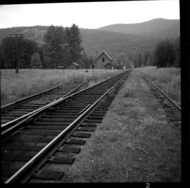
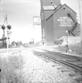
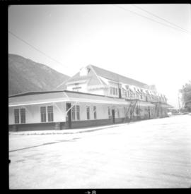
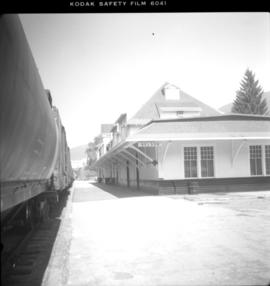
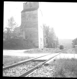
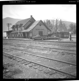
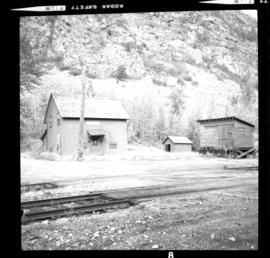
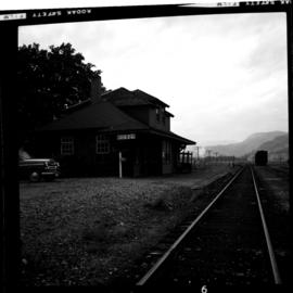
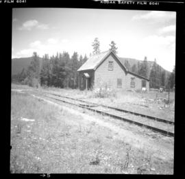
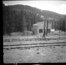
Parte de David Davies Railway Collection
File consists of documentary photographs taken by David Davies of public buildings in British Columbia.