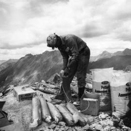
2000.1.1.3.19.009
·
Item
·
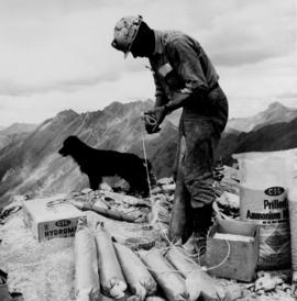
1961
Parte de Cassiar Asbestos Corporation Ltd. fonds
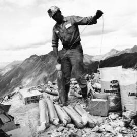
Photograph depicts a man wearing a hard hat preparing long narrow bags of explosive material. Large bags of ammonium nitrate in right foreground, mountains in background. Handwritten annotation on verso of photograph: "1961".