Print preview Close
Showing 1164 results
Archival description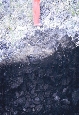
Y02-19
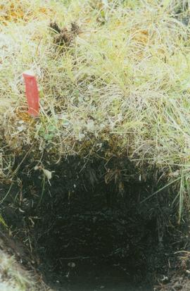
Y02-20 (Carex-Equisetum seepage area) - 01
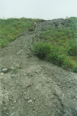
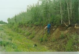
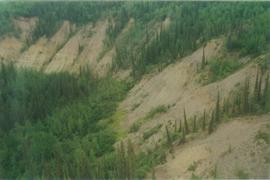
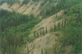
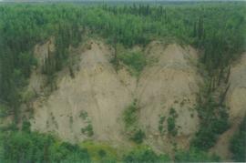
Y02-22 Retro flow slump, km 110.5 Dempster Hwy - 01
Y02-22 Retro flow slump, km 110.5 Dempster Hwy - 10
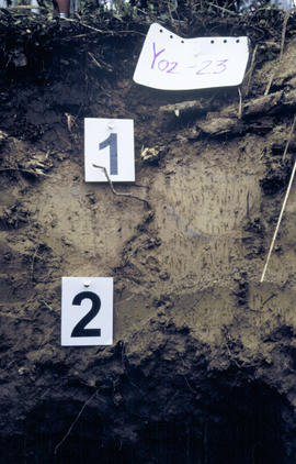
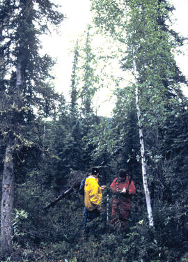
Y02-23 Profile (5)
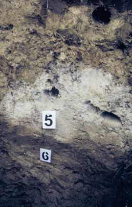
Y02-23 Profile (7)
Y02-24 Div Ck soil, km 566 Klondike Hwy - 01
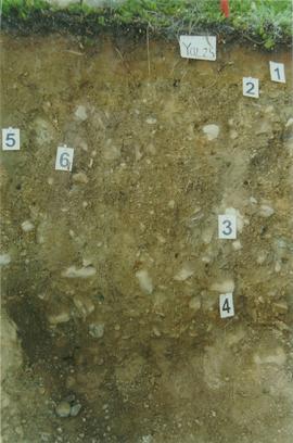
Y02-25 Div Ck soil on Reid terrace, McQuesten R - 03
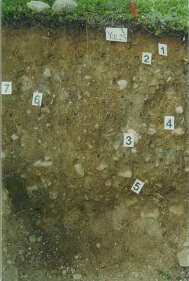
Y02-25 Div Ck soil on Reid terrace, McQuesten R - 06
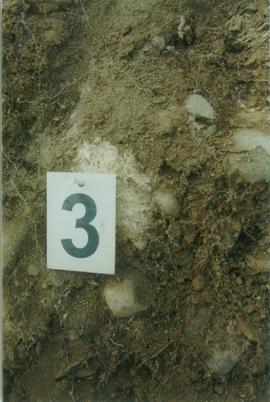
Y02-25 Div Ck soil on Reid terrace, McQuesten R - 08
Y02-25 Div Ck soil on Reid terrace, McQuesten R - 11
Y02-27 Carbonates, km 475.1 Klondike Hwy - 01
Yukon R below Dawson - 01
Yukon R below Dawson - 02
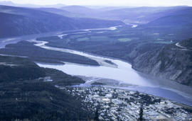
Yukon R from Midnight Dome
Water treatment plant?
Water treatment plant?
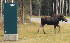
Moose at UNBC
Prince George City Hall and UNBC
Prince George City Hall and UNBC
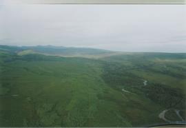
15 Mile R site aerial view - 03
15 Mile R site aerial view - 05
15 Mile R site aerial view - 10
15 Mile R site aerial view - 11
15 Mile R site aerial view - 12
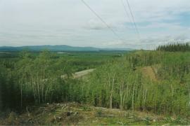
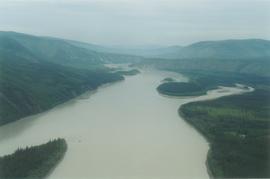
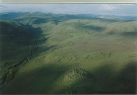
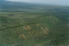
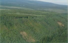
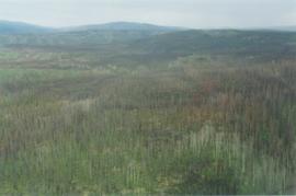
Aerial views (E 15 Mile to Rock Ck) - 01
Aerial views (E 15 Mile to Rock Ck) - 06
Aerial views (E 15 Mile to Rock Ck) - 09
15 Mile R site aerial view - 01
15 Mile R site aerial view - 02
15 Mile R site aerial view - 08
Aerial views (E 15 Mile to Rock Ck) - 05
Aerial views (E 15 Mile to Rock Ck) - 10
Aerial views (E 15 Mile to Rock Ck) - 11
Aerial views (E 15 Mile to Rock Ck) - 14
Aerial views (E 15 Mile to Rock Ck) - 19
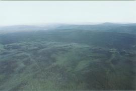
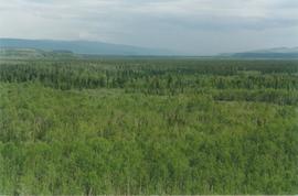
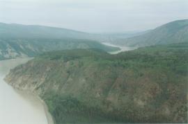
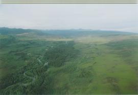
Aerial views (Rock Ck to Dawson) - 03
Aerial views (Rock Ck to Dawson) - 04
Aerial views (Rock Ck to Dawson) - 05
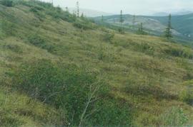
Alder clumps, limestone ridge, N Ogilvie Mts. - 02
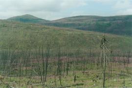
Burn N of Fox L - 04
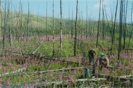
Burn N of Fox L - 05
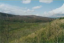
Burn N of Fox L - 07
Burn near 15 Mile R
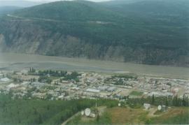
Dawson aerial view - 02
E 15 Mile site - ground level view - 03
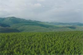
Eagle Plains landscape, Dempster Hwy - 01
Eagle Plains landscape, Dempster Hwy - 02
Eagle Plains, Dempster Hwy km 365 - 02
Eagle R & Richardson Mts, Dempster Hwy - 01
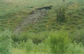
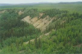
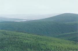
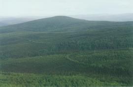
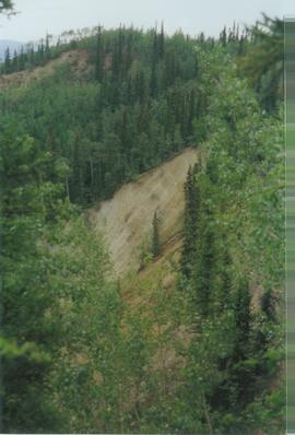
Intact forest above thaw slump