Aperçu avant impression Fermer
Affichage de 352 résultats
Archival description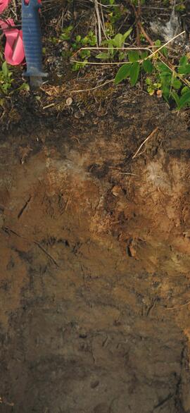
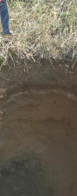
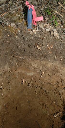
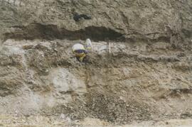
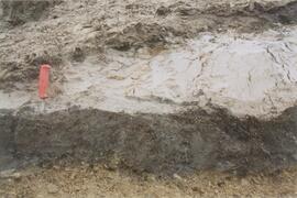
Y09-24-04 F15 profile
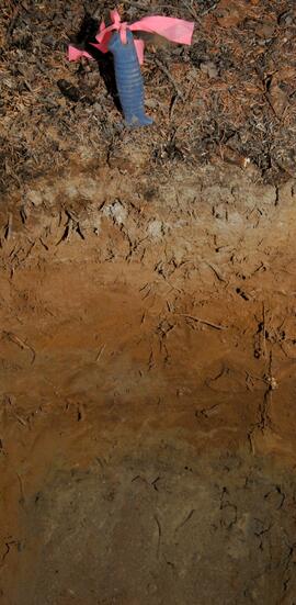
Y09-24-09 G20 profile
Y09-24-10 G25 profile
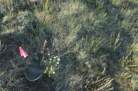
Y09-27-02 G5 surface
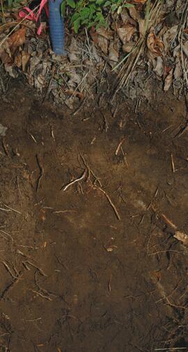
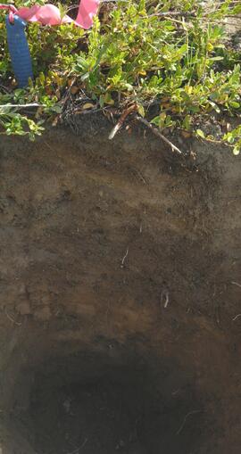
Y09-27-02 profile
Y09-27-03 G10 surface
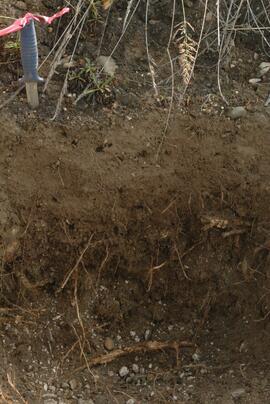
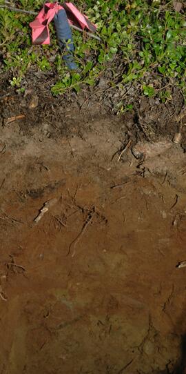
Y09-27-04 profile
Y09-27-06 profile
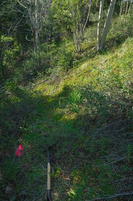
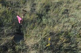
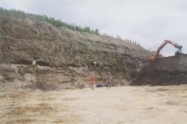
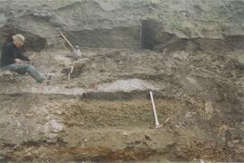
Y09-27-09 F15 site view
Y09-27-10 profile
Y09-28-04 G30 surface
Y09-28-06 profile
Y09-28-08 profile
Gold Bottom south wall (2)
Site Y04-02 detail (2)
Site Y04-03 (2)
Site Y04-04 detail (3)
Site Y04-04 detail (5)
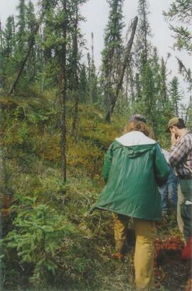
Grant Zazula at Goldbottom (1)
Grant Zazula at Goldbottom (1)
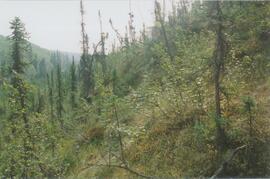
Gold Bottom transect - north aspect lower slope (1)
Gold Bottom transect - north aspect lower slope (3)
Robert Service Recording
Robert Service Recording

The Duchess

Alaska Highway

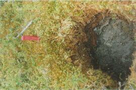
Eroding Rock Face?
Gold Bottom east wall (2)
Gold Bottom east wall (4)
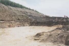
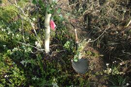
Gold Bottom lower pit
Site Y04-01 (5)
Site Y04-02 (2)
Site Y04-02 detail (1)
Site Y04-02 detail (3)
Site Y04-03 (3)
Site Y04-04 detail (1)
Site Y04-04 detail (2)
Site Y04-04 detail (6)
Site Y04-04 (2)
Gold Bottom transect - north aspect lower slope (5)
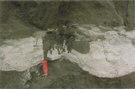
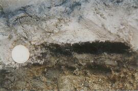
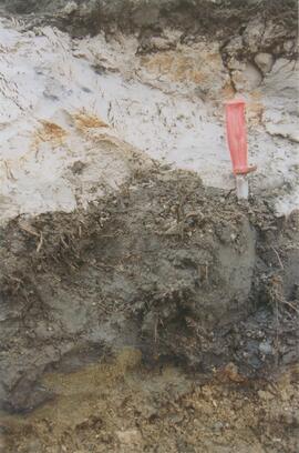
Ice under Dawson tephra at Gold Bottom (3)
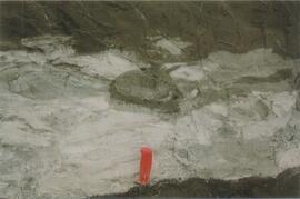
Ice under Dawson tephra at Gold Bottom (3)
Ice under Dawson tephra at Gold Bottom (4)
Ice under Dawson tephra at Gold Bottom (4)
Fort Selkirk volcanic field images
Fort Selkirk volcanic field images
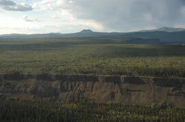
Early Pleistocene basalt cliffs on the north side of the Yukon River
Early Pleistocene basalt cliffs on the north side of the Yukon River

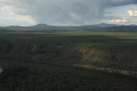
North side of the Yukon River, mid-Pleistocene basalts west of gully
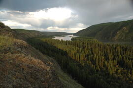
Camp 1, facing east up the Yukon River
Camp 1, facing west down the Yukon River

Near Camp 1, facing west down the Yukon River
East of Camp 1, facing west down the Yukon River
View of cabin approximately 0.75 km west of Camp 1
Approaching Camp 2 at the mouth of Black Creek